Blog

05 Aug

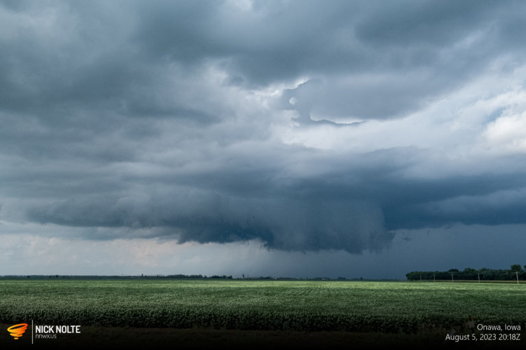
August 5, 2023 – Mid-Missouri Valley

I hadn’t planned to chase this day but I knew SPC had put out a 2% tor on the day 2 so I figured I’d at least check data in the morning to see if it’d be worth a look. The morning of, SPC had upgraded to 5% on the tornado risk and it looked like a surface low that was sliding across South Dakota might be enough to back the winds along an area of confluence that was stretching from Sioux Falls towards Omaha.

Read more
11 Jul

July 11, 2023 – Thedford Supercell

July 11th was another local chase. By local, I mean in Nebraska. A low pressure in northwest Nebraska with a front draped across the state would lift north a bit as a warm front. Temperatures into the 80°Fs and dewpoints into the lower 60°Fs would prime the air along the frontal boundary for initiation in the evening. Isolated supercells were expected eventually growing upscale into a wind threat further east towards Iowa.

Read more
06 Jul

July 6, 2023 – Colorado Tornado From 15 Miles Away

July 6th featured another upslope day in Colorado as easterlies transported surface moisture into the foothills below strong mid level flow in the post-frontal region. Forecast models were showing CAPE values over 3k in Colorado with dewpoints in the mid to upper 60°F’s, which is kind of nuts. SPC was forecasting up to 3″ hail in the more intense cells, and it did look reasonably favorable for tornadoes in the Plains of Colorado south of I-70.

Read more