15
Apr
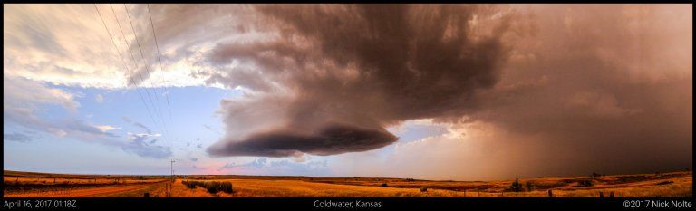
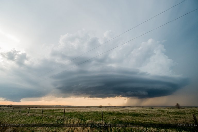
April 15, 2017 – Coldwater, Kansas Supercell
April 15th featured mostly westerly flow at 500mb across the Central Plains while a cold front was expected to migrate southward through Kansas. The intersection of this and a dryline was the focal point for severe weather for this day. The initial 13z SPC outlook placed a 2% tornado risk along the dryline from Dodge City to Childress, but was later upgraded to an extremely small 5% area centered near Woodward at the triple point. This seemed to be the obvious play for the day, but capping was a concern throughout.
Read more