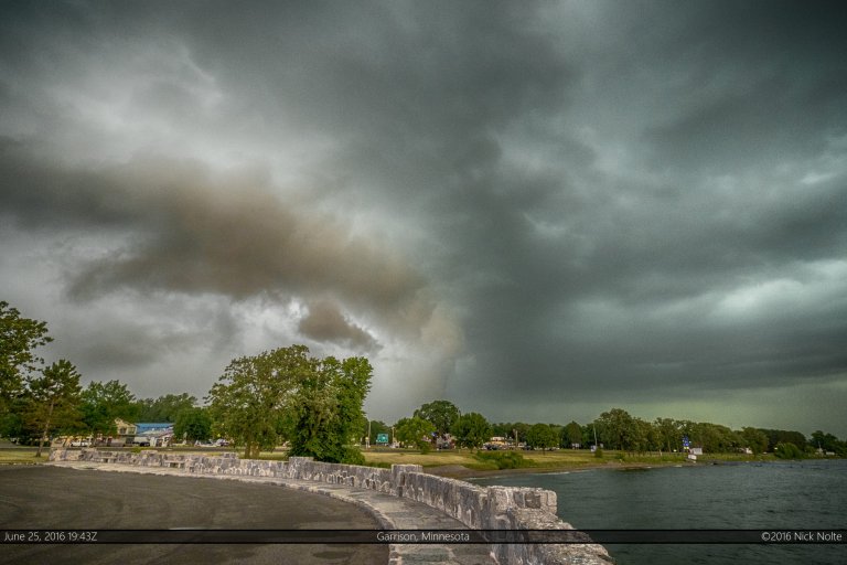
Month: June 2016

22 Jun

June 22, 2016 – Bureau County, Illinois Tornado

June 22nd, 2016 was the start of what I forecast to be a potential 4-day string of severe events across the Upper Midwest and Northern Plains. This first day looked to be in Northwestern Illinois between Sterling and Clinton, Iowa. SPC had forecast a hatched 10% risk of tornadoes east of a surface low tracking from Nebraska into Illinois and along the warm front extending to the east. It’s always hard to pass up a warm front event in Illinois so I left home around 9am and began the westward trek.

Read more
15 Jun

June 15, 2016 – Tracking a supercell across Wisconsin

June 15, 2016 featured a shortwave trough forecast to move across the Minnesota Arrowhead into Wisconsin along with a surface low and attendant warm front draped across the I-90 corridor. With surface temperatures in the low 80s and dewpoints in the upper 60s, convergence along the front and ahead of the low seemed like a decent target for severe weather.

Read more