Month: June 2014

16 Jun

June 16, 2014 – The Pilger Day

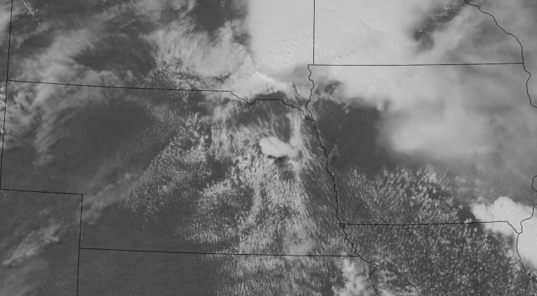
This blog entry will be a little different than usual because the Pilger, Nebraska day was quite the failure for me and I’ve wrote about it in a couple of different places. While I caught the tail end of a very rain-wrapped tornado near Wakefield, a series of missteps and general apathy led to a disastrous chase day for me, probably my worst. I have no photos or videos from this chase, so it will mostly be a description of how I pictured the day to unfold and how I executed those plans.

Read more
07 Jun

June 7, 2014 – Texas Supercell

Saturday was my final day of chasing after almost a full week out in the Southern Plains and I wasn’t looking forward to the long drive back to Michigan. The prospects for storms looked pretty decent, as it was the day before. The Storm Prediction Center had a nebulous region of slight risk issued spanning from the foothills of Colorado and New Mexico across Oklahoma and into the Mid-Mississippi Valley. The focus for storms was easterly upslope across the foothills of eastern NM and CO and latching on to any of those as it rolled east.

Read more
06 Jun

June 6, 2014 – Clovis, New Mexico Tornado

A series of embedded shortwave troughs were expected to migrate across the High Plains in otherwise zonal flow of 40 to 50 knots. Southeasterly surface flow was expected throughout the front range in Colorado and New Mexico while low 60s dewpoints were drawn into the area. With several hours of insolation, this would provide substantial instability for storms to initiate in this area.

Read more
04 Jun

June 4, 2014 – Chimney Rock

June 4th was a sort of down day on the chase vacation. There was a slight chance for severe weather across the Nebraska Panhandle, Western Kansas and into Eastern Colorado, but probabilities were pretty low. A slight 35-40kt westerly flow at 500mb with CAPE values approaching 2,000 J/Kg provided decent dynamics and instability, but the cap was forecast to be moderate which might prevent any robust convection from taking off.

Read more
03 Jun

June 3, 2014 – Central Nebraska

After an uneventful day on the 2nd, Williamson and myself found ourselves awaking in Grand Island, Nebraska to a promising outlook for severe weather. The stage was set for unsettled weather across Nebraska characterized by an unstable atmosphere and a favorably placed warm front. A low pressure migrating along a warm front from Wyoming to Nebraska would be the focal point for severe weather. A southerly low level jet of 40 to 50 knots was expected to overspread the target area while surface temperatures reached the upper 80s, dewpoints into the upper 60s which would promote a heavily buoyant atmosphere marked by surface based CAPE values exceeding 4,000 J/Kg. Hodographs also indicated a strongly veered wind profile throughout the atmosphere and bulk shear values of 60 to 70 knots.

Read more