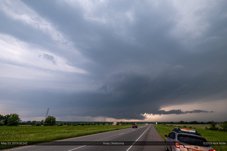
Blog

26 Mar

March 26, 2017 – Konawa, Oklahoma Tornado

March 26th featured a shortwave trough over eastern Colorado that was expected to track east into the Ozarks while a surface cyclone moved into Western Oklahoma. A dryline extended south from the low into Texas and would provide the focus for thunderstorm development during the late afternoon as it migrated east towards I-35. The big concern for this setup was whether or not quality moisture would advect northward in time after a scouring cold front swept higher dewpoints to the Gulf in the previous week.

Read more
23 Mar

March 23, 2017 – Southwest Nebraska

March 23rd was the first local opportunity for a chase since my move to Nebraska last October. The SPC had outlined a slight risk area encompassing the dryline from Texas to Nebraska and a bit along the warm front in Nebraska. This was accompanied by a 2% tornado risk, so definitely not a guarantee, but it’d been a long time since I chase (June 25, 2016) and I was anxious to just get out.

Read more
22 Jun

June 22, 2016 – Bureau County, Illinois Tornado

June 22nd, 2016 was the start of what I forecast to be a potential 4-day string of severe events across the Upper Midwest and Northern Plains. This first day looked to be in Northwestern Illinois between Sterling and Clinton, Iowa. SPC had forecast a hatched 10% risk of tornadoes east of a surface low tracking from Nebraska into Illinois and along the warm front extending to the east. It’s always hard to pass up a warm front event in Illinois so I left home around 9am and began the westward trek.

Read more
15 Jun

June 15, 2016 – Tracking a supercell across Wisconsin

June 15, 2016 featured a shortwave trough forecast to move across the Minnesota Arrowhead into Wisconsin along with a surface low and attendant warm front draped across the I-90 corridor. With surface temperatures in the low 80s and dewpoints in the upper 60s, convergence along the front and ahead of the low seemed like a decent target for severe weather.

Read more