03
Oct
October 3, 2023 – Local Chase
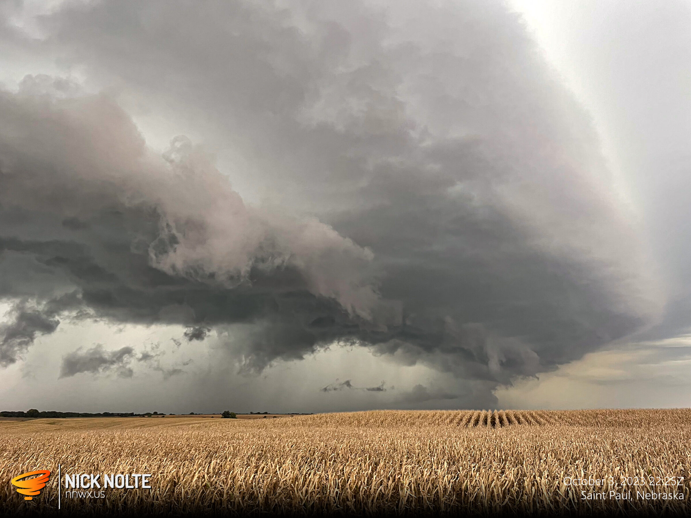
October 3rd was a day I wasn’t planning to chase. A low in North Dakota with a trailing trough stretching into the Central Plains along with cyclogenesis near the Colorado/Kansas border would provide an opportunity for storms in a narrow corridor of mid-60°F’s dewpoints. The event looked like it would go linear quick in my vicinity with scattered chances further south along the dryline into Oklahoma and Texas.
Read more