| 0 | 0.00" | 40 | 417 |
|---|---|---|---|
| TORNADOES | HAIL | WIND | MILES |
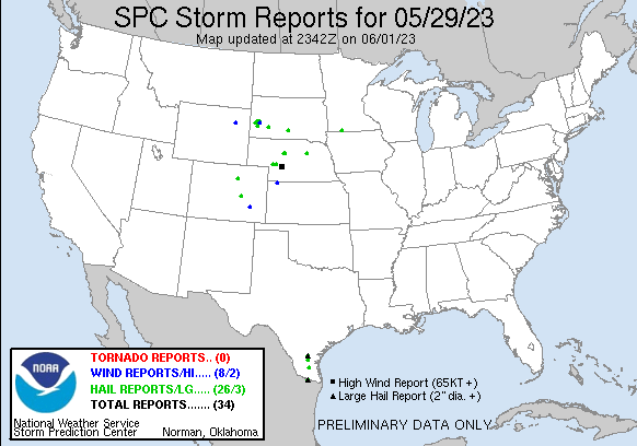
Memorial Day featured a weak upper level trough across the Central Plains that was going to boost instability across Nebraska, but focus for development was a bit nebulous across the region except for a surface convergence zone across Central Nebraska which is where the SPC had outlined the slight risk.
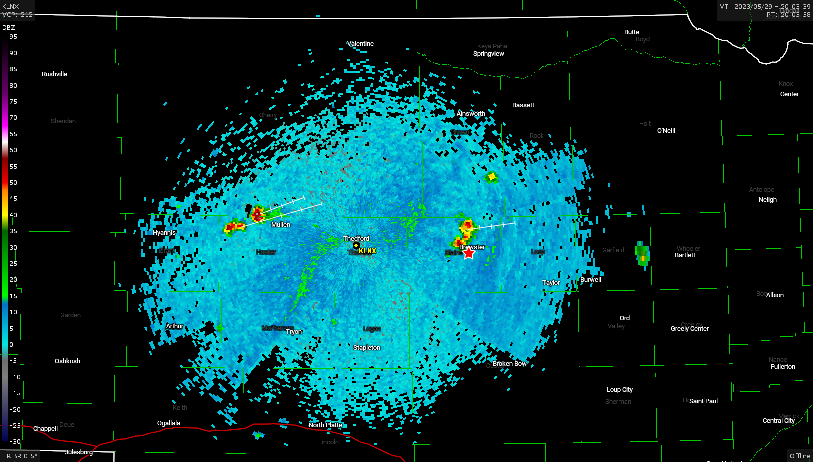
I left Grand Island around 18z and decided to just go up highway 2 to the Thedford area and as I approached Dunning two cells were going up: One near Brewster and another west of Thedford.
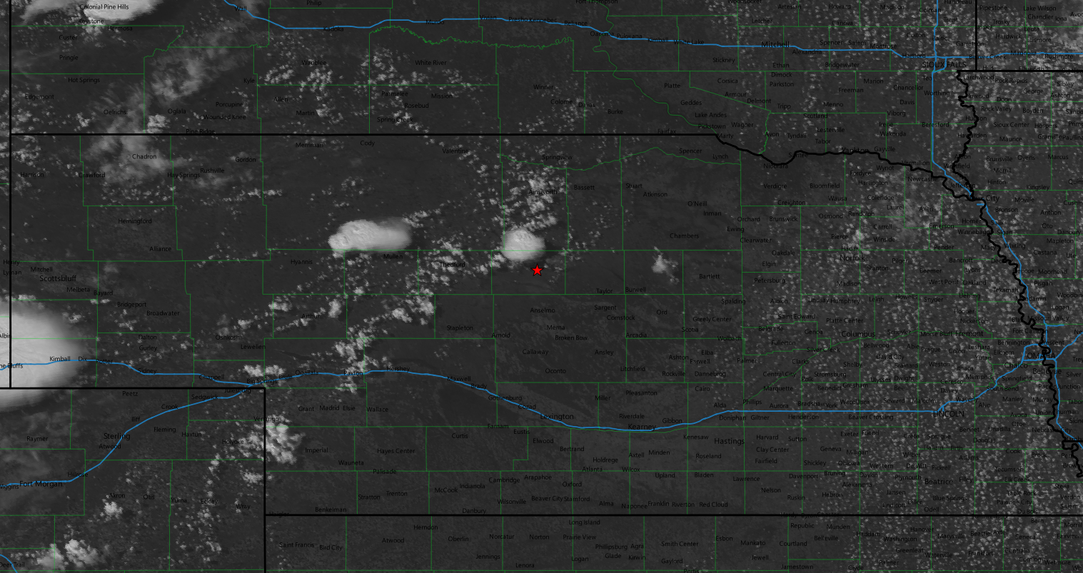
While the Thedford storm looked bigger on satellite I was concerned with the dewpoint spreads over there. The Thedford weather station was reporting 86°F over 50°F. I wasn’t digging the 36°F spread and decided to hang with the eastern storm where the dewpoint spreads were only 18°F.
I tracked these small cells for a while until some new development occurred to my west. I doubled back to go check them out.
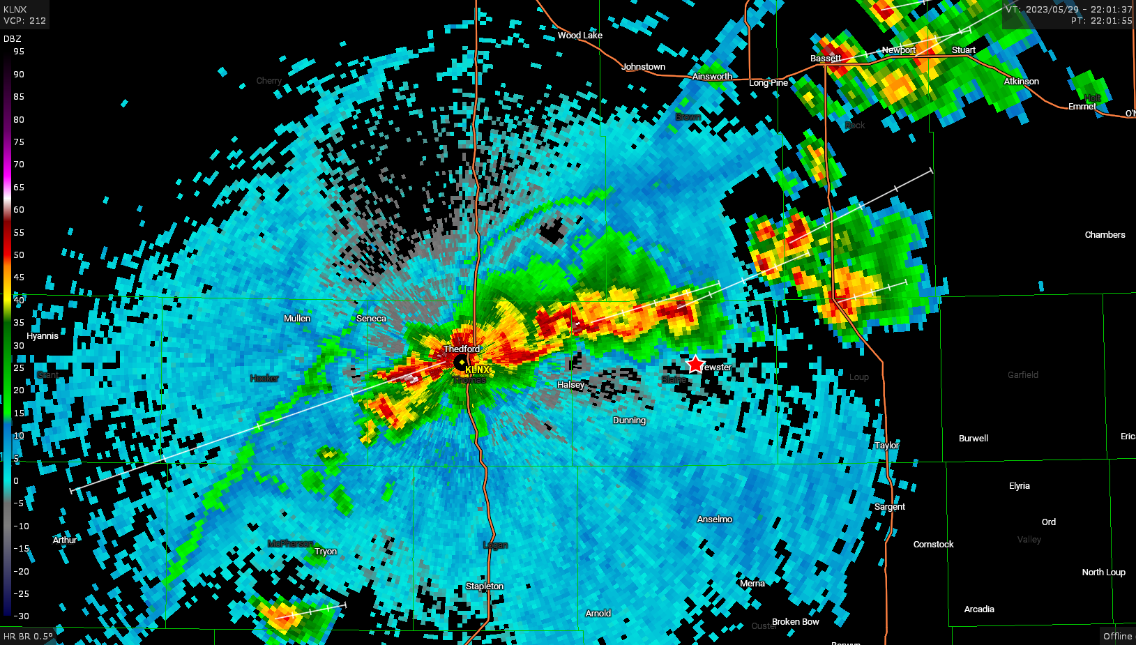
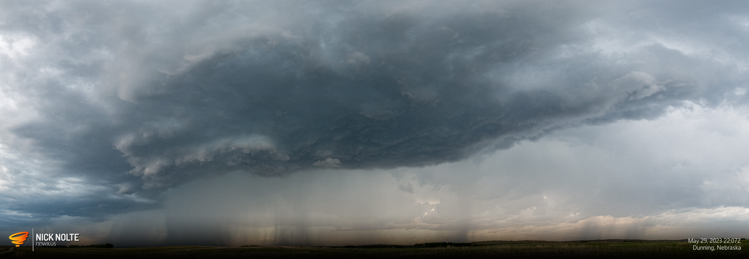
At this point the storms were sort of a big linear complex of embedded cells and a distinct target wasn’t obvious so I just tracked along the line taking in the storm structure.
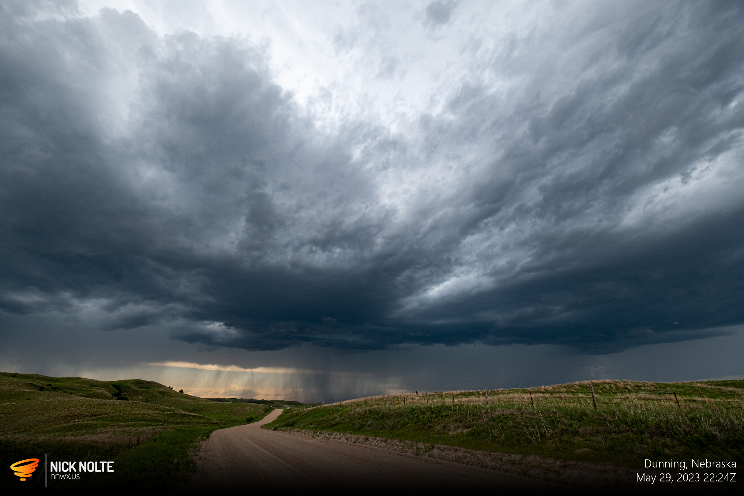
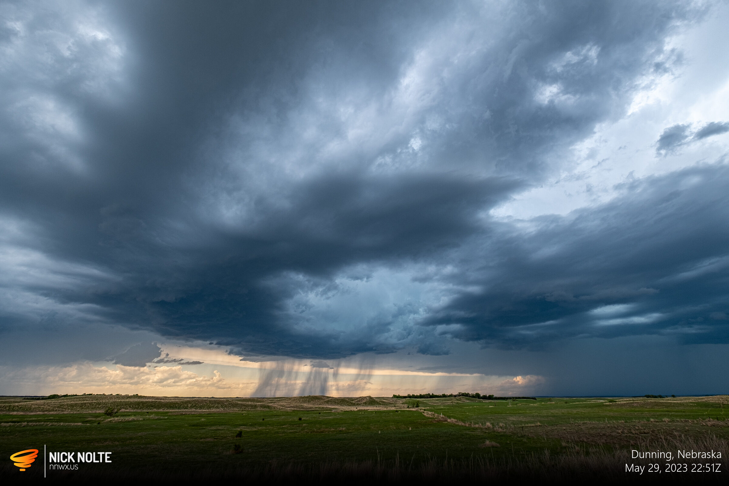
I tracked along with the storms for a while taking in the sights, I wasn’t expecting too much for the day and while there weren’t any tornadoes or strong looking storms, the visuals were pretty good. Overall, a good day 🙂
Chase Recap
| START | END | DURATION |
|---|---|---|
| Grand Island, NE @ 29/1752Z | Grand Island, NE @ 30/0135Z | 07 hours, 43 minutes |
| INTERCEPTS | CHASER ENCOUNTERS |
|---|---|
| None | None |