| 0 | 0.00" | 40 | 119 |
|---|---|---|---|
| TORNADOES | HAIL | WIND | MILES |
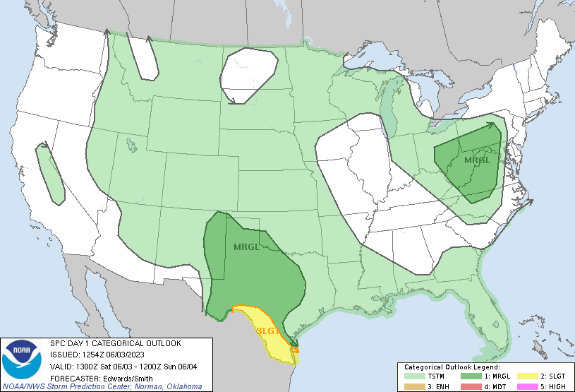
June 3rd wasn’t really a chase day. Most of Texas was within a marginal risk with a sliver of slight along the Rio Grande. The rest of Tornado Alley was just in the general thunderstorm outline. Severe weather wasn’t really in the cards. Weak flow across the middle of the country as an omega block persisted caused nebulous flow at 500mb topping out at 30kt over Nebraska.
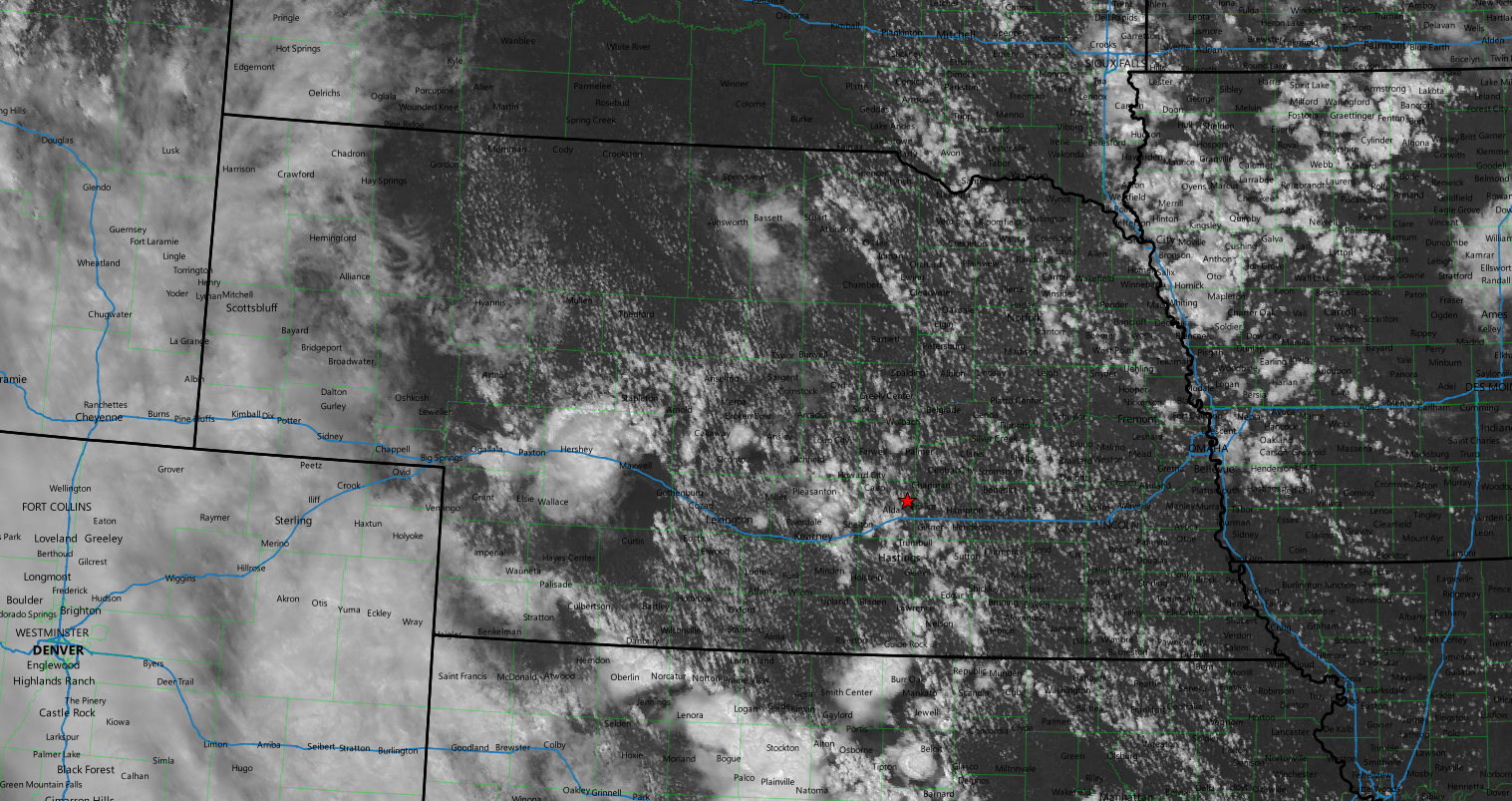
As the day wore on, visible satellite began to fire storms between Ogallala and North Platte, and later cumulus began to bubble immediately west of Grand Island.
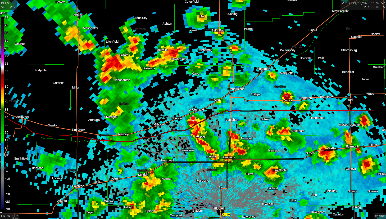
Storms were generally moving northwest and with the low shear were generally transient in nature. Nevertheless, no big deal to wander a few miles from home right?
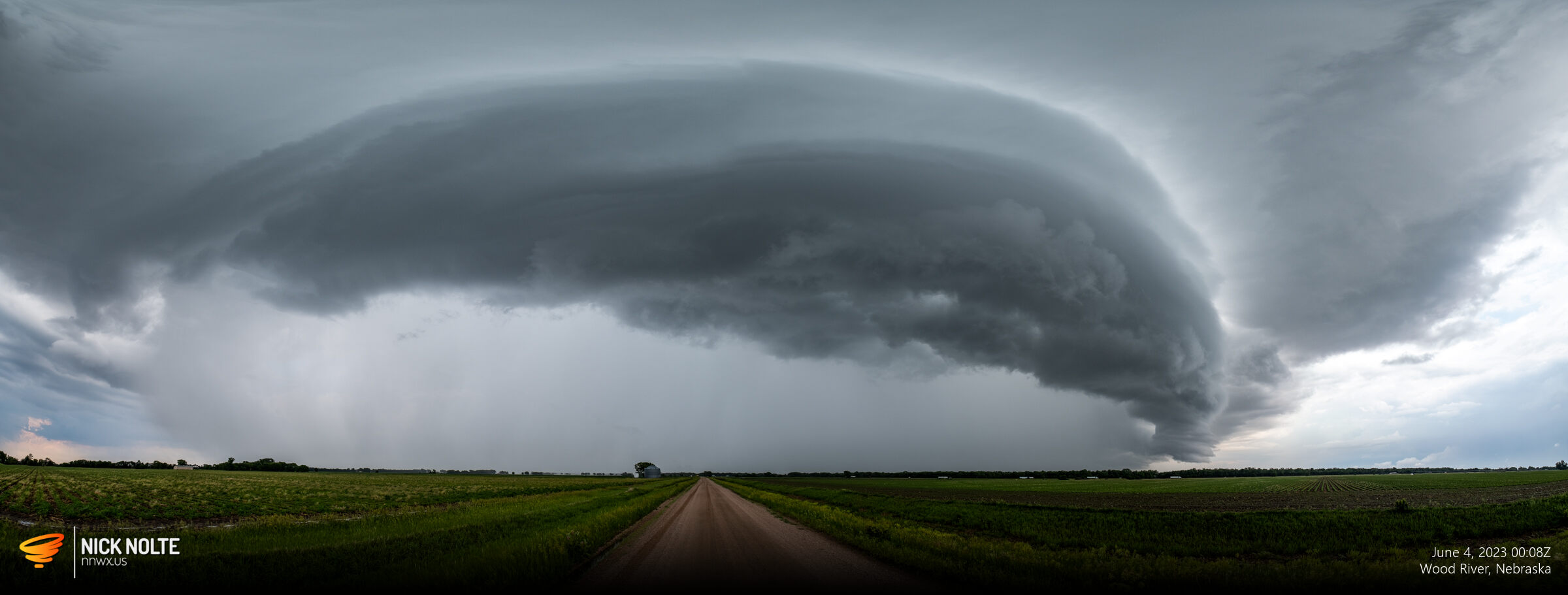
This was about as good as it got and all the photos I shot of this storm look like this. I did drop south a bit to catch the tail end of the group of cells I was near northwest of Hastings, but nothing came of it. All in all, just a little jaunt from home to play in the rain.
Chase Recap
| START | END | DURATION |
|---|---|---|
| Grand Island, NE @ 03/2329Z | Grand Island, NE @ 04/0152Z | 02 hours, 23 minutes |
| INTERCEPTS | CHASER ENCOUNTERS |
|---|---|
| None | None |