Month: June 2019

20 Jun

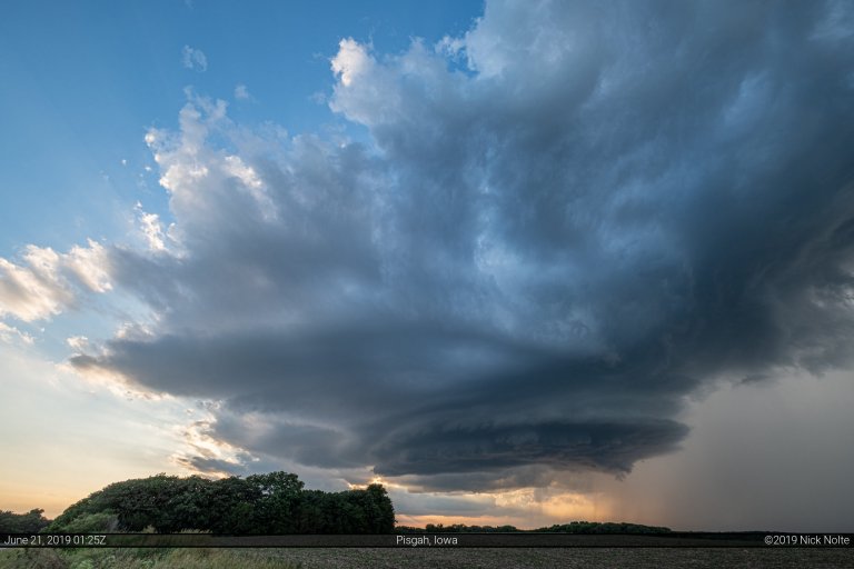
June 20, 2019 – Iowa Puts on a Show

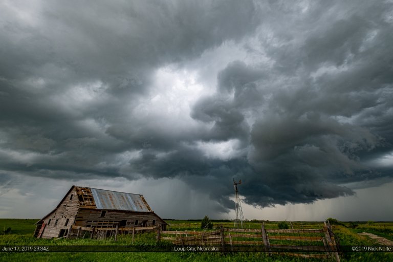
June 20th was the start of a 3-day mini chase vacation late in the season. The forecasts were looking like a day in Northeast Nebraska/Western Iowa followed by a Colorado chase then a third day yet to be determined. The first day featured two possible targets, one in southeast Montana and another along the Nebraska/Iowa border. Since the 20th was a partial work day Montana was out of the question, so Northeastern Nebraska it was!

Read more
15 Jun

June 15, 2019 – Putnam, Oklahoma Tornadoes

After spending the night in Hays, Kansas, June 15th presented another opportunity for severe weather throughout many portions of the country. A warm front across the Ohio River Valley presented the best chances for tornadoes, but I wasn’t about to drive to Illinois. My attention was towards Western Oklahoma which would be a prime position for storm development as a surface low was forecast to deepen in the Texas Panhandle. This would back surface winds throughout Western Oklahoma while a shortwave impulse pivoted through the area along with a very unstable airmass. This seemed to be a rather decent recipe for severe weather.

Read more
14 Jun

June 14, 2019 – Eastern Colorado

Mostly zonal flow across the High Plains provided for a nebulous pattern on June 14th with no real obvious target in mind, however a rather buoyant airmass was in place in Eastern Colorado into Western Kansas that seemed to at least harbor the chance for isolated supercells. The primary threat was large hail and wind as dewpoints seemed too low to warrant much of a low level tornado thread.

Read more