08
Jun
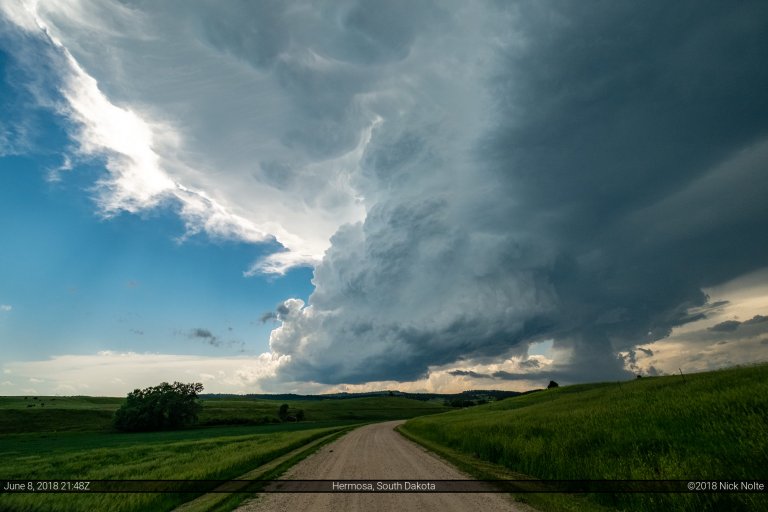
June 8, 2018 – Black Hills, South Dakota
The final day of my 2018 chase vacation and it appeared that there might be a decent shot at some gorgeous storms in the Black Hills area of western South Dakota. I spent the previous night in Spearfish and sat around there for most of the morning waiting to see if I’d need to move south or not.
Read more