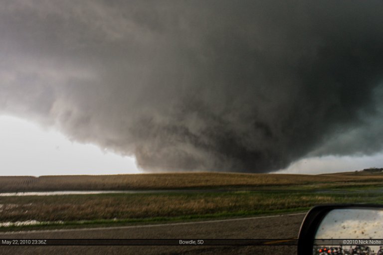
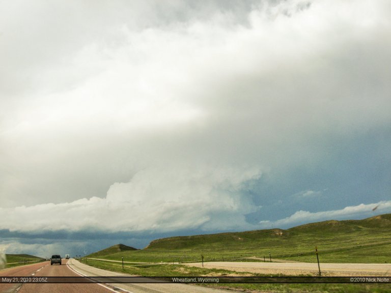
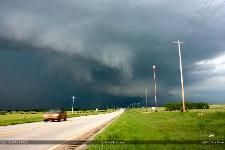
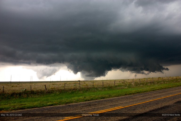
May 24, 2010 – Howes, South Dakota
Well, this was the last day of my chase vacation. After spending the 22nd reveling in tornado outbreak bliss on the northeast side of the state, I was eyeballing the northwest part of the state this day. The 23rd I spent in Pierre resting as it was my first and only down day of the entire vacation. The SPC was calling for slight risk across most of the area, however they were outlining a 10% tornado probability across west/central SD into South Central ND. There was a surface low in the Nebraska Panhandle that was going to lift to the NNE throughout the day and an attendant warm front was supposed to lift along with it and a cold front was forecast to swing eastward through the northern plains in the late afternoon. This meant much of Western South Dakota would be in the warm sector with nicely backed surface winds, and with temperatures headed for the 90s and dewpoints into the 70s the picture was painted for some serious action in the area. The only problem: forecast storm motion was to the NNE at 50 MPH! This was going to be similar to the speed demons of the May 10th Oklahoma chase. However, motion to the N/NNE meant chances were high these storms would be parallel to the road network, but if you weren’t on a storm from the beginning, you sure as hell weren’t going to catch up to it.
Read more
