28
Apr
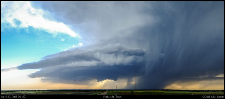
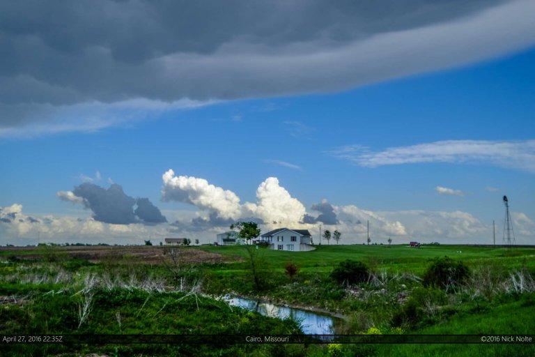
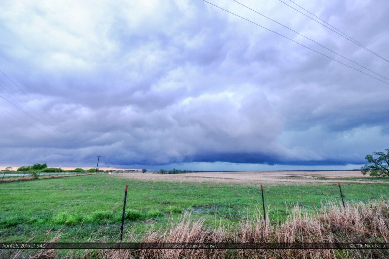
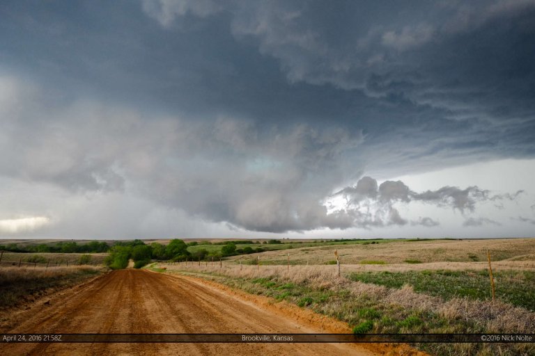
April 28, 2016 – Rolling Plains of Texas
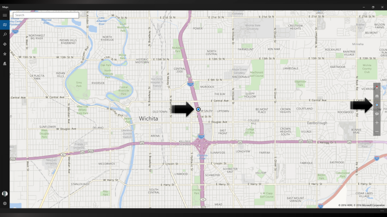
Day 5 of a week long mini chase vacation started with a long drive overnight from Northeast Missouri back to Wichita, crashing at a hotel, then hopping back in the car to get to the target area which we believed would probably be in the Texas Panhandle.
Read more