23
May
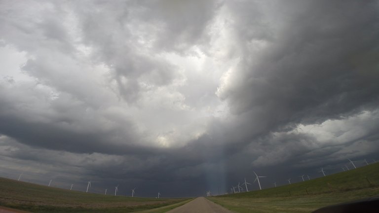
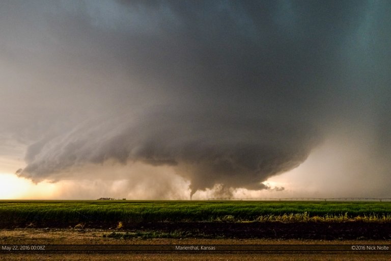
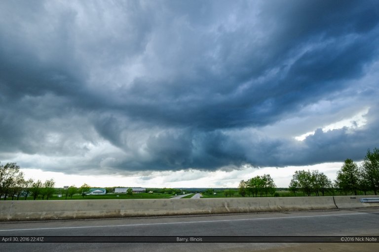
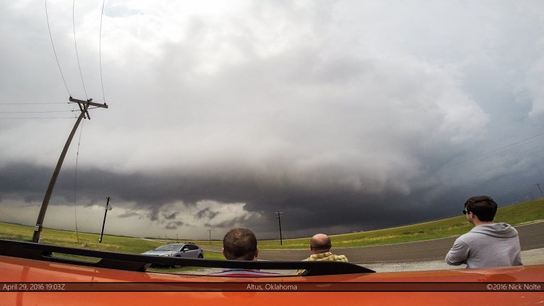
May 23, 2016 – Texas Panhandle Part II
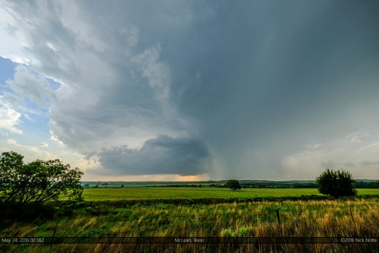
The third day of my mini chase vacation featured a mid level speed max that was forecast to move into the Caprock area while the dryline mixed east. There were two targets in play, the area up near the intersection of the dryline and the outflow boundary or further south a bit along a dryline bulge expected to form along the Caprock.
Read more