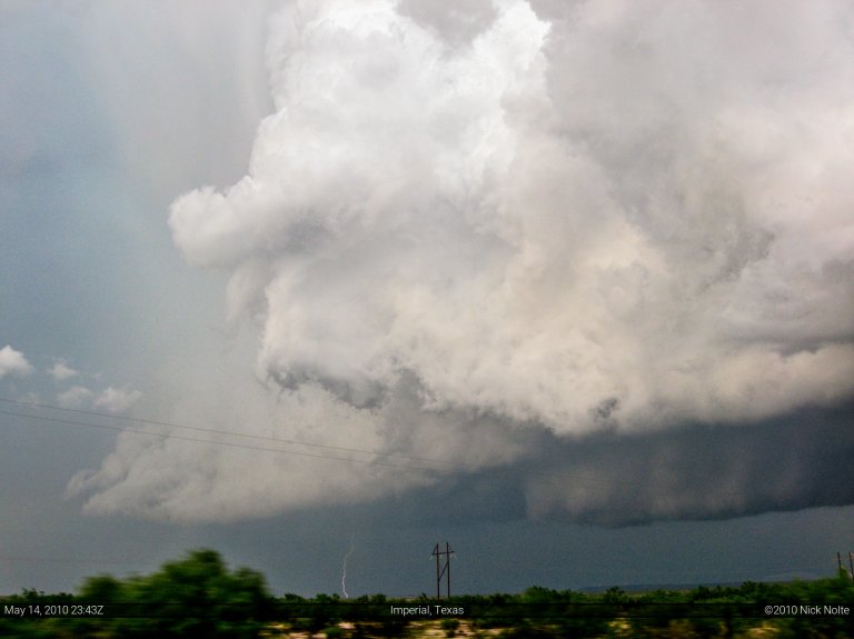
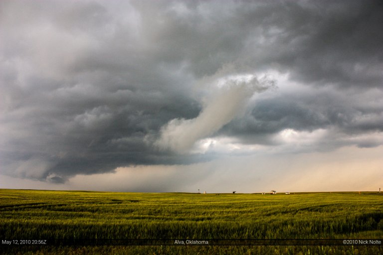
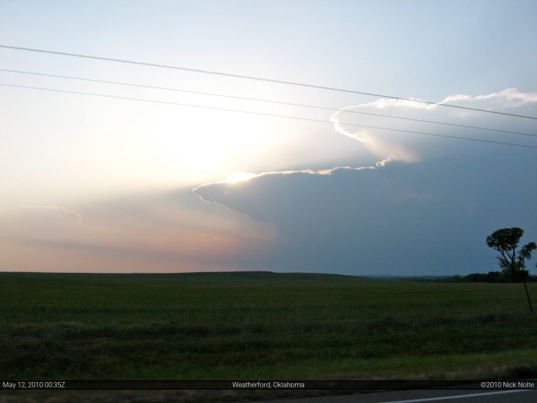
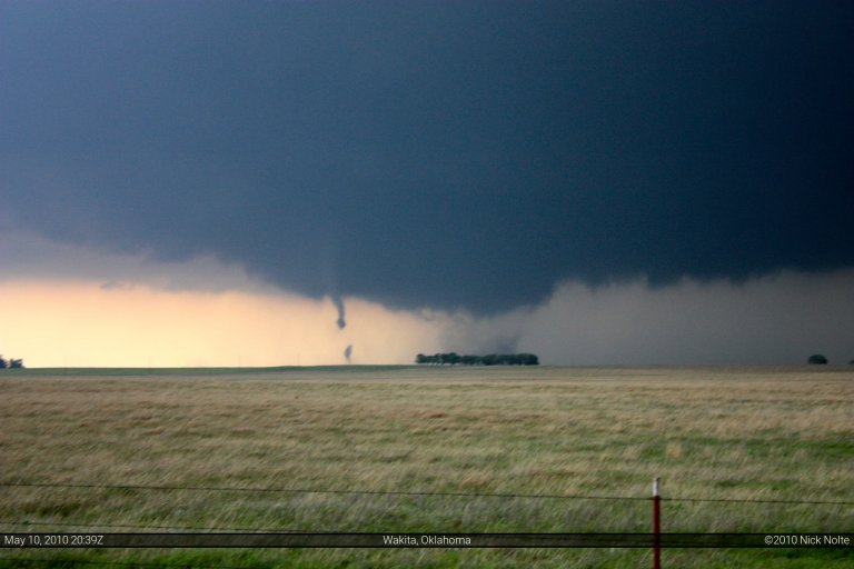
May 14, 2010 – Southwest Texas
After a long day of travel from Wichita, KS to Midland, TX and mostly sunny skies, I was ready to do some storm chasing again. SPC has Southwest Texas tagged as a slight risk for severe weather this day. A stationary front was positioned across southern New Mexico and Central Texas and an outflow boundary was positioned from south central Texas back to the northwest where it intersected the stationary front near San Angelo. Elevated storms were already firing in New Mexico, and more were expected to develop in an even more unstable air mass over southwestern Texas that was punctuated by CAPE values approaching 3,000 J/kg.
Read more


