07
Jun
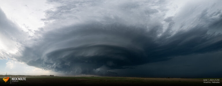
June 7, 2024 – Highway 2 Supercell
June 7th was one of those days that ends up being a great chase even without tornadoes. Southerly surface winds were forecast to transport moisture north into Nebraska bringing dewpoints into the upper 50°s to near 60°F in the Sandhills. MLCAPE values were expected to reach 1500 J/Kg. Storms were expected to initiate in north-central Nebraska and migrate southeast eventually growing upscale overnight.
Read more