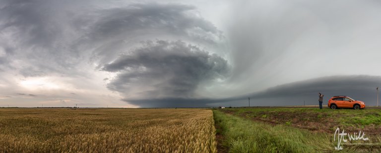
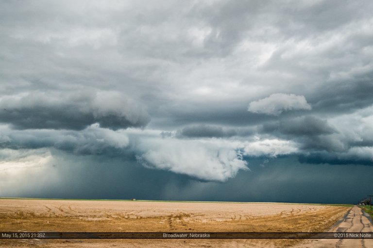
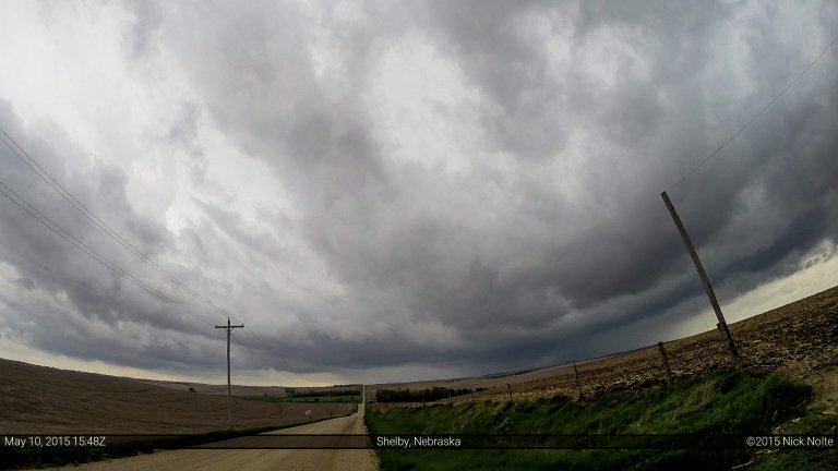
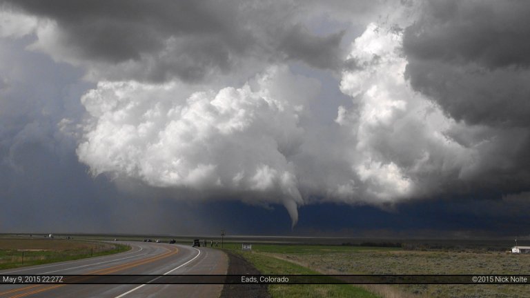
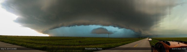
Day two of a multi-day chase trip began in Wichita Falls where I stayed the night before after a successful tornado intercept on the previous day near Sanger. Target for the day was southwest of Wichita Falls, so no one was in a rush to leave the hotel. Skip Talbot, Jennifer Brindley and Phil Bates were caravanning with Sean Casey and the TIV in Doghouse and we discussed the day’s prospects before going our separate ways. A cutoff low was still over California and expected to move a little east during the day while the southern branch of diffluent flow at 250mb was expected to move over the southern areas of the target area. A cold front extended from Iowa through Oklahoma and into the Texas Panhandle and into New Mexico where it was stationary. A dryline intersected the front in New Mexico and was expected to mix eastward into Texas throughout the day. Outflow from the overnight MCS was expected to lift north through the day, possibly stalling out south of the Red River. That was the focus for severe weather as the air mass south of it was expected to become strongly unstable.
Read more