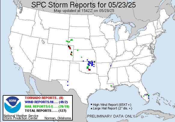
| 3 | 1.25" | 65 | 539 |
|---|---|---|---|
| TORNADOES | HAIL | WIND | MILES |
May 23rd started out looking like a low level day as a few mid-level troughs were forecast to progress into the high plains coupled with weak forcing aloft meant marginal shear. However, cyclogenesis was expected to develop and transport additional moisture into Eastern Colorado into Kansas. With a surface low setting up in Northeast Colorado it looked like that would be the target for the day.
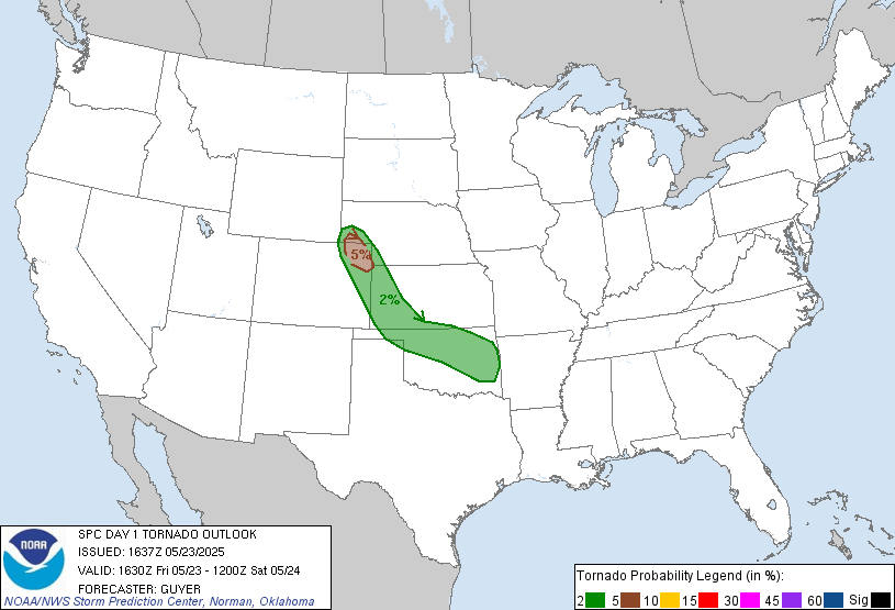
The original Day 1 outlook only had a broad 2% tornado risk from the WY/CO/NE area into Eastern Oklahoma. My original plan was to just head west to Sidney, or around there, to stage for the day. When the 1630z update came in with a small 5% upgrade in northeast Colorado it seemed like the target area was a good pick.
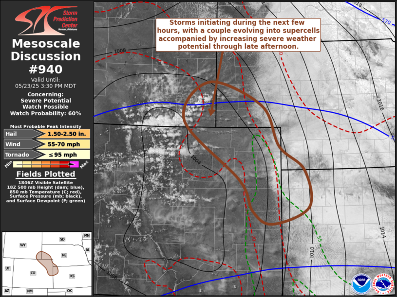
Mom decided to chase with me for a couple days so we took off from Grand Island a little after 15z and began the trek west on 80 towards Sidney. As we rolled into Sidney, a mesoscale discussion as cumulus started to build along the Front Range along the Colorado/Wyoming border.
It looked like the storms we were going to chase would probably come out of the field near Cheyenne so we continued west on 80 to the border and stopped in Pine Bluffs and watched the cluster of storms to the north.
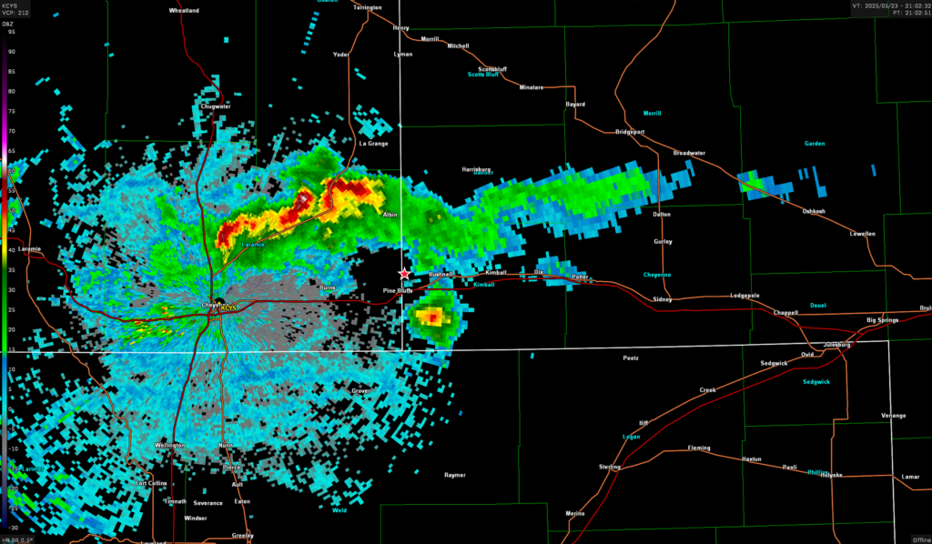
While watching those storms a cell developed to our southeast. While the cluster drifted off to the northeast we turned to chase after the newly developed cell and got on it just prior to 22z.
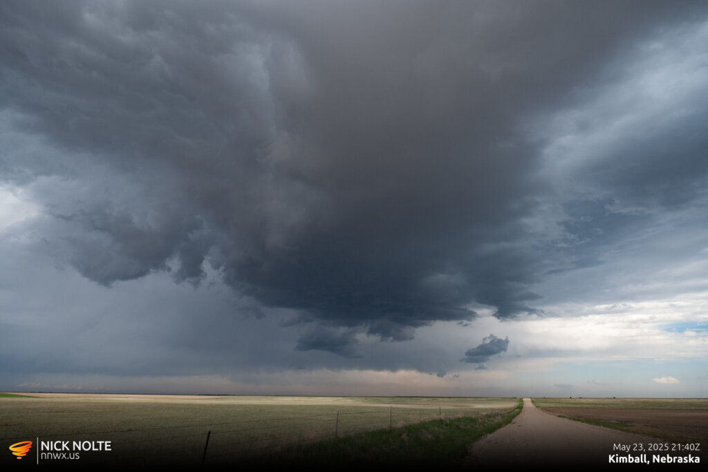
After giving it another 30 or 40 minutes the storm really ramped up and a pretty beefy hail core developed and 2.5″ hail reports started coming in. Also a ragged wall cloud developed.
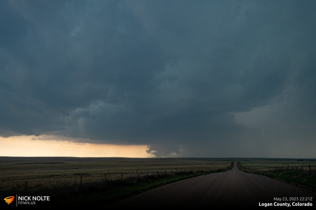

As the storm approached Merino a tornado report came in as a swirl of dust spun up beneath the wall cloud of the storm.
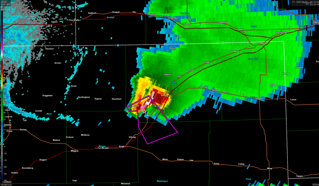
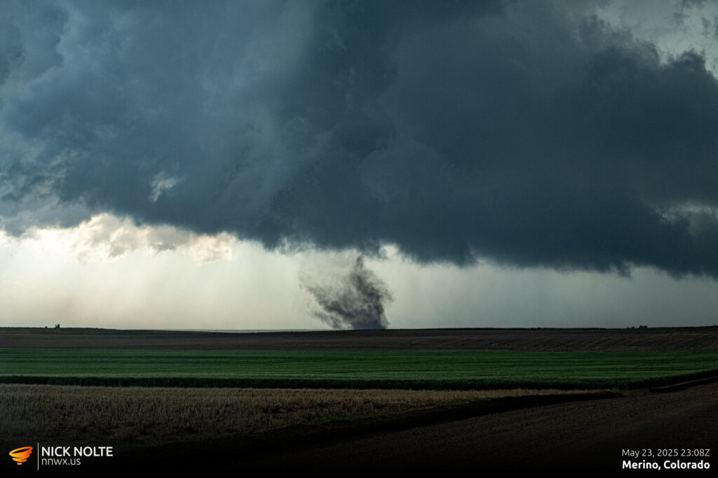
This lasted for a couple minutes and never fully condensed, but we kept up with the storm hoping it would cycle. As we approached Akron the cell took on quite the structure as a crazy RFD cut wrapped around the meso where a new tornado was developing.
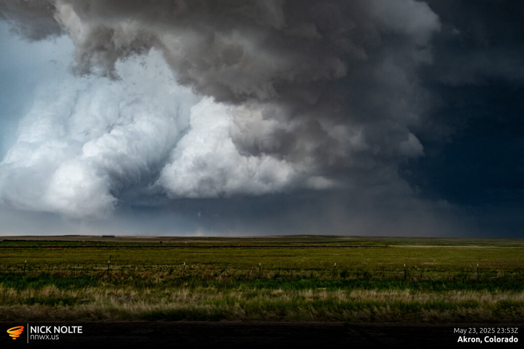
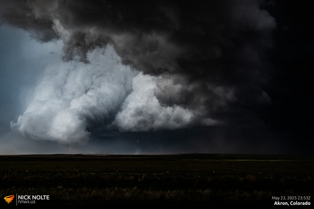
A small stovepipe tornado was present beneath the curled up updraft, visible above on the left side of the photos. This tornado also lasted for several minutes and did some cool stuff during the ropeout.
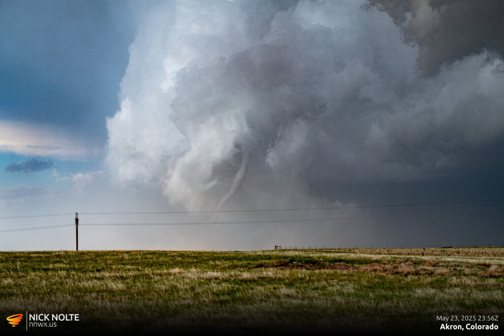
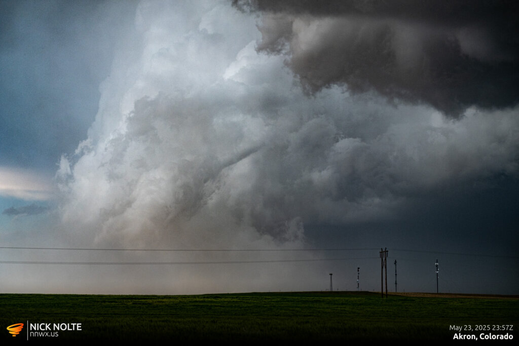
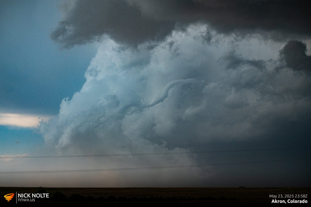
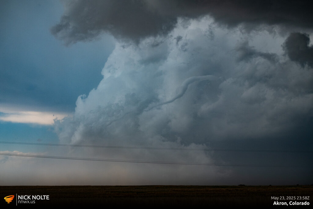
As we continued to track the storm it dropped another brief tornado southwest of Otis. I wasn’t sure if this dust swirl was a tornado or not, but a couple reports came in so apparently it was.
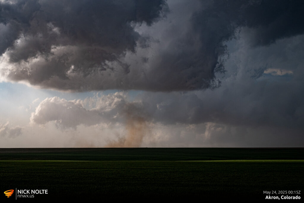
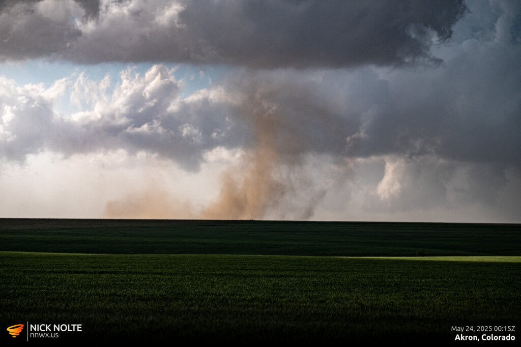
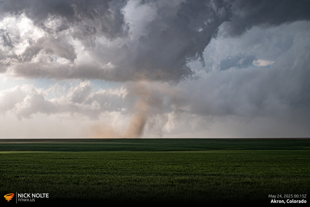
This was basically the last gasp of the storm. As it continued east it began to become disorganized and within the hour it was completely dissipated. After the last tornado we drove back up to Otis then drove to Fort Morgan for the night.
Chase Recap
| START | END | DURATION |
|---|---|---|
| Grand Island, NE @ 23/1515Z | Fort Morgan, CO @ 24/0158Z | 10 hours, 43 minutes |
| INTERCEPTS | CHASER ENCOUNTERS |
|---|---|
| 23/2308Z @ 2 SE Willard, CO 23/2353Z @ 7 NW Akron, CO 24/0014Z @ 2 SE Akron, CO | None |


