| 0 | 1.00" | 60 | 360 |
|---|---|---|---|
| TORNADOES | HAIL | WIND | MILES |
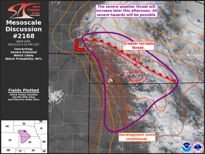
A strong dryline was expected to be present from Western Nebraska into Kansas and ascent migrating into the area, storms were expected to fire along a narrow corridor along the dryline, while further east was more uncertain because of lower instability.
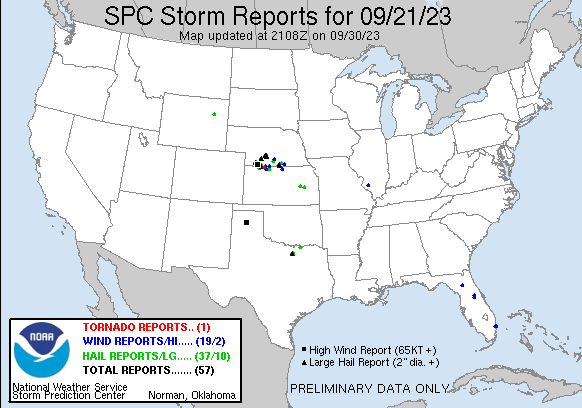
SPC had a broad area of 5% tornado risk in the favorable area along the dryline. There was a dry punch forecast along the McCook to Oberlin area, so my original plan was to head to Arapahoe and reevaluate there. I took off from Grand Island just a bit after 19z and began the trek west. A couple hours later a mesoscale discussion was issued for the target area and a cell had begun to develop southwest of McCook.
At this point, I continued on my path to Arapahoe, but it looked like the storm west of McCook was going to be the main event. As I passed through Arapahoe, the storm ramped up pretty quick and baseball hail reports began to trickle in.
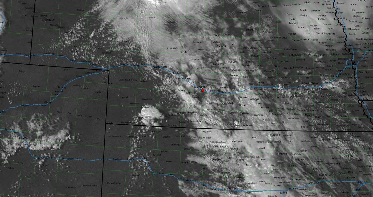
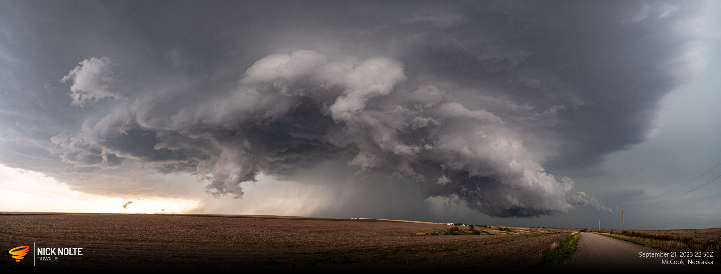
After stopping in Cambridge for gas, I continued west on US 34 towards McCook. Finally able to get a visual on the base, a large wall cloud was already formed.
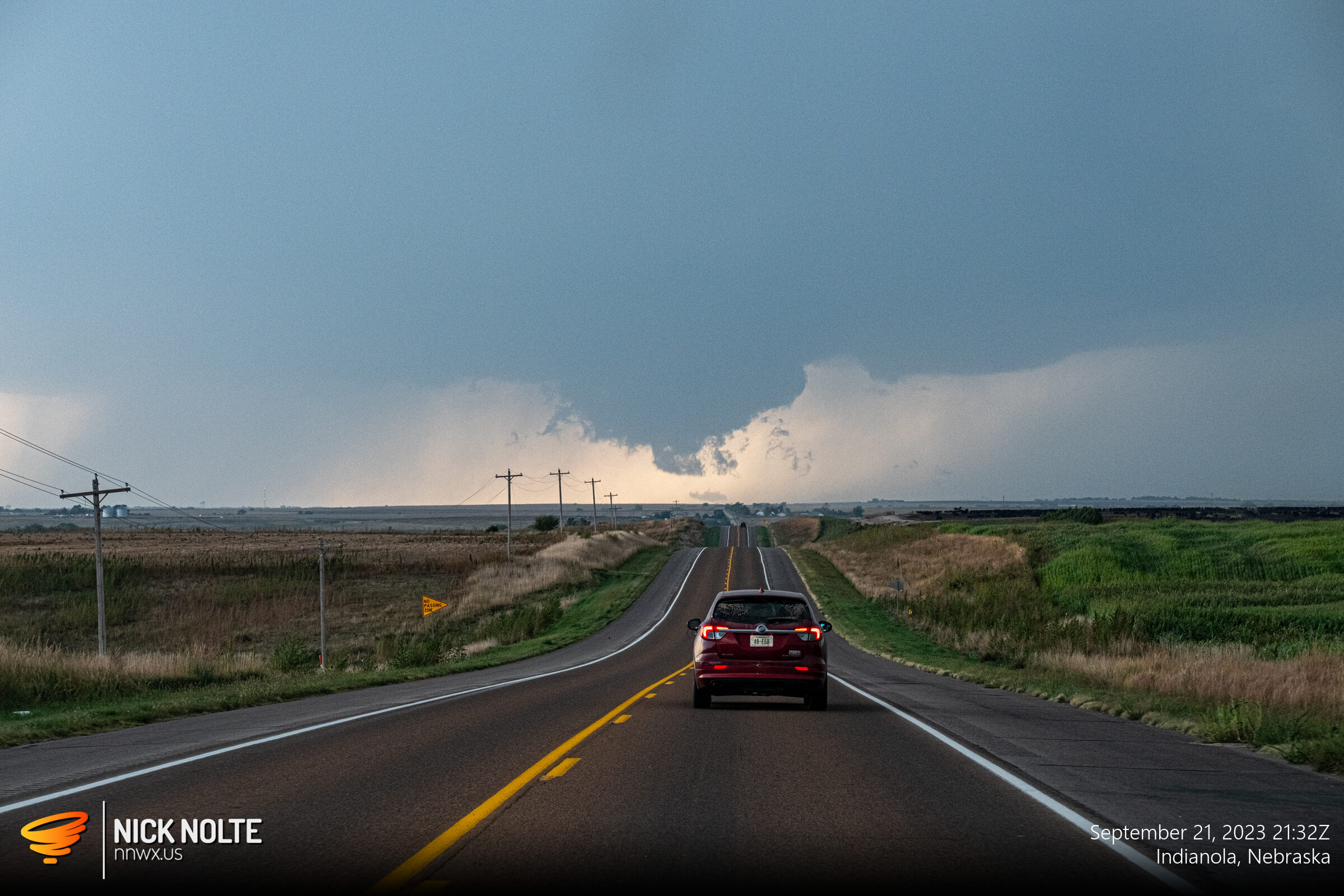
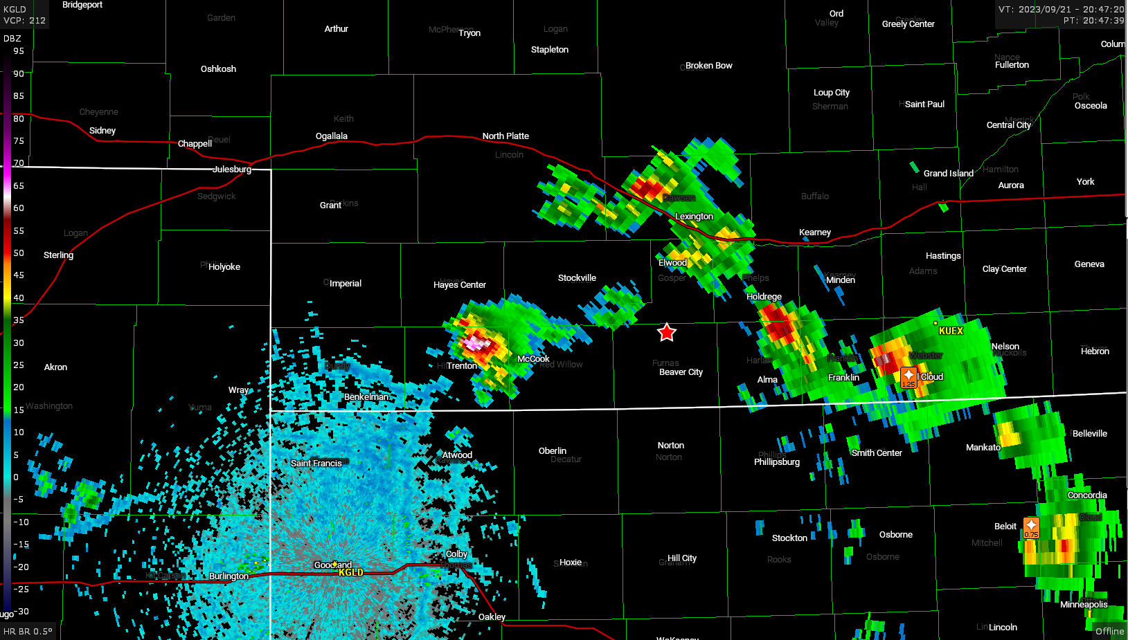
Eventually I rolled into McCook and found a nice vantage point behind the Walmart perched up on a hill with a nice view of the storm as it developed west of town. The cell had a couple tornado warnings resulting from funnel reports between Culberton and McCook. I was still east of McCook when the first funnel report came in and I wasn’t able to see the second report from McCook.
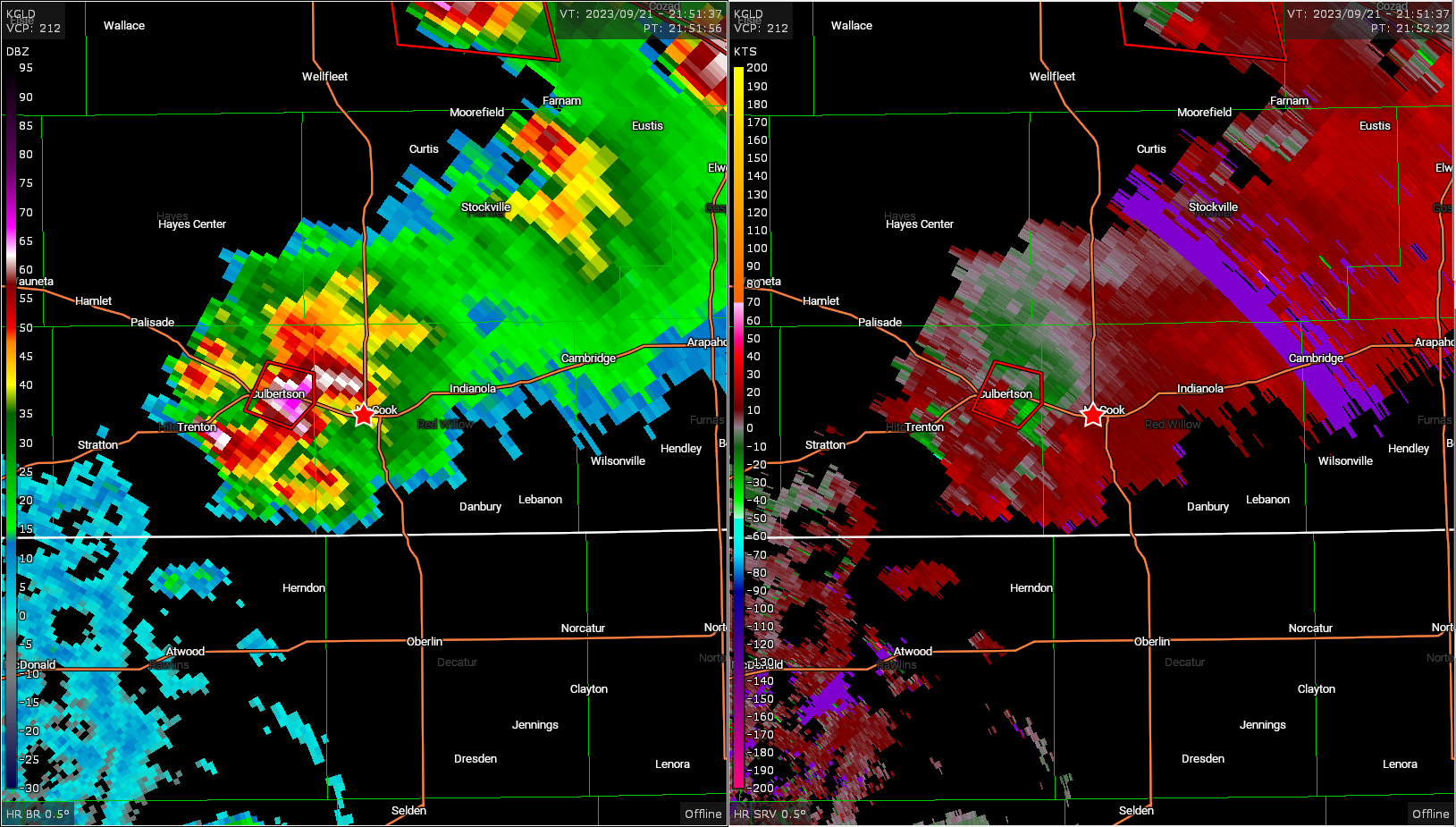
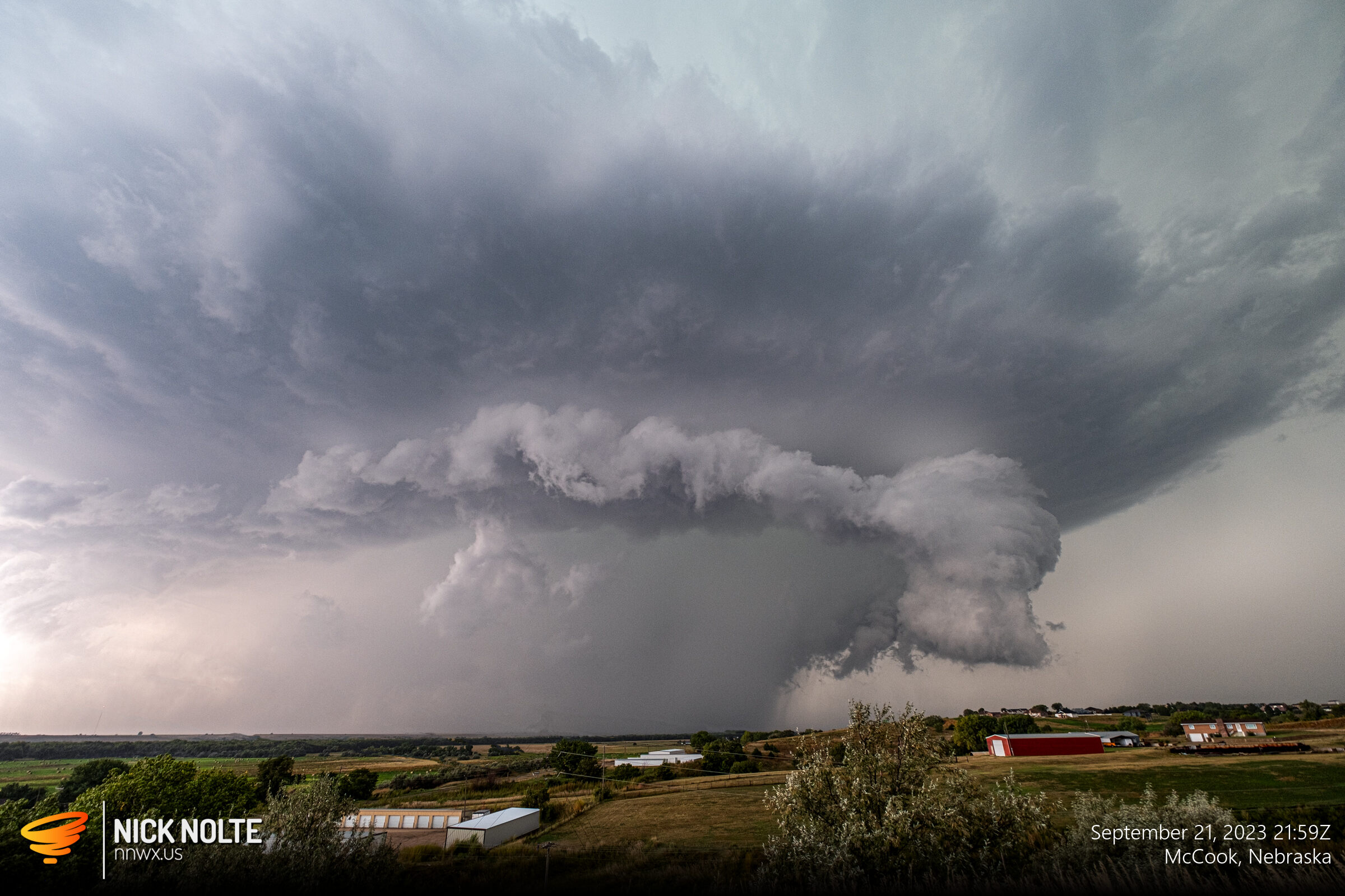
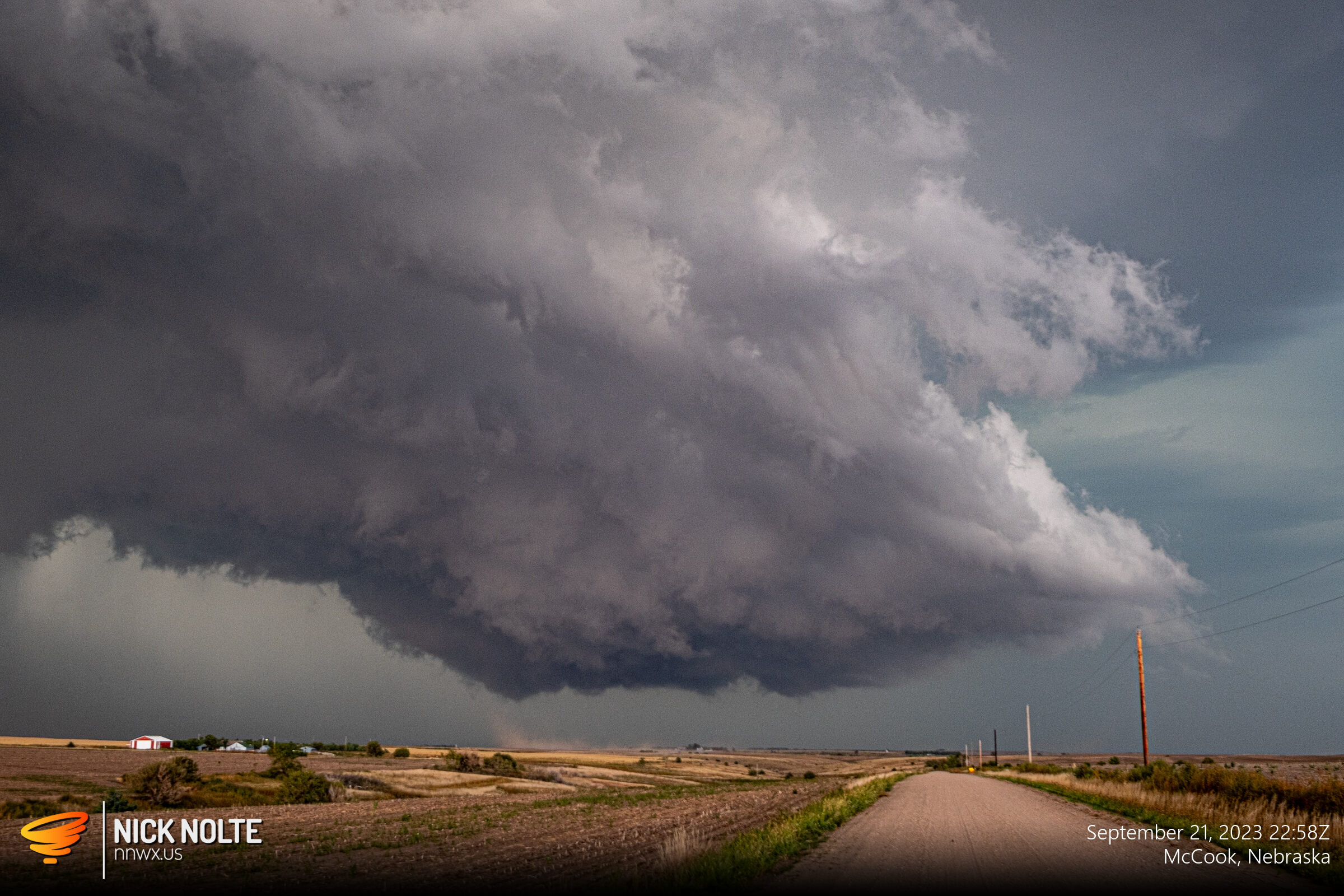
As the storm encroached on town I started south on US 83 to get ahead of the storm and continue to track it as it drifted southeast. The radar presentation began to muddle as the main cell weakened a little as new cells fired on the flanks, but visually the storm continued to have a nice RFD with consistent wall clouds and lowerings.
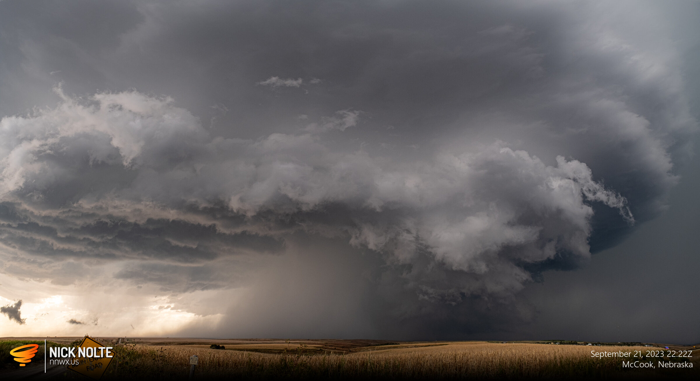
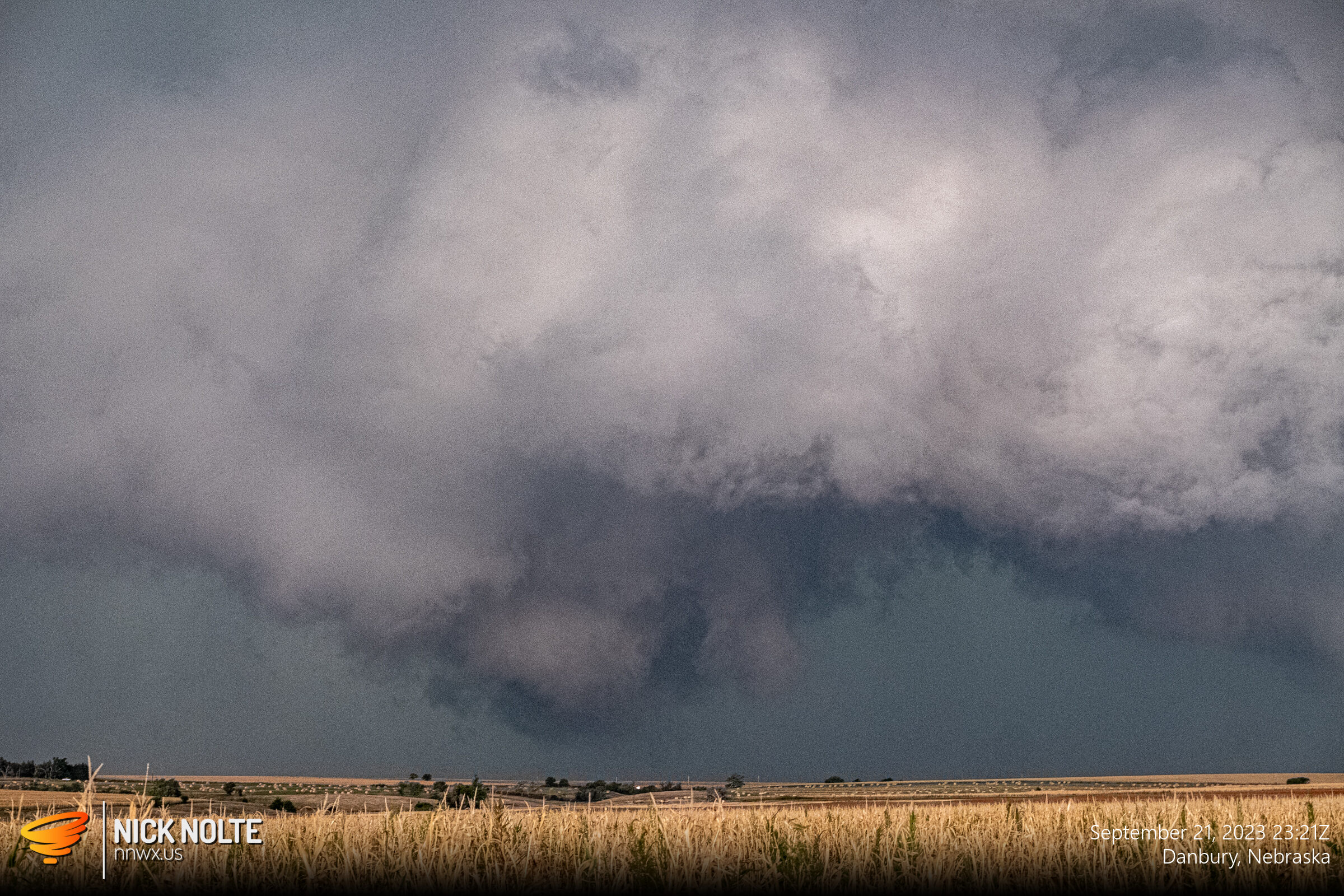
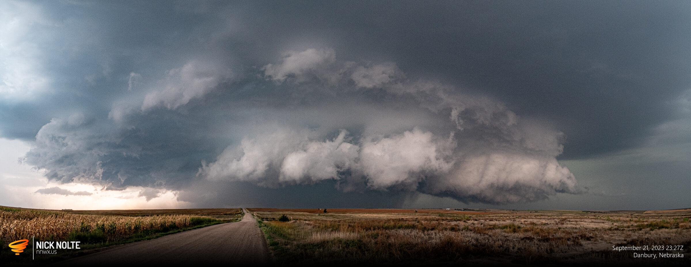
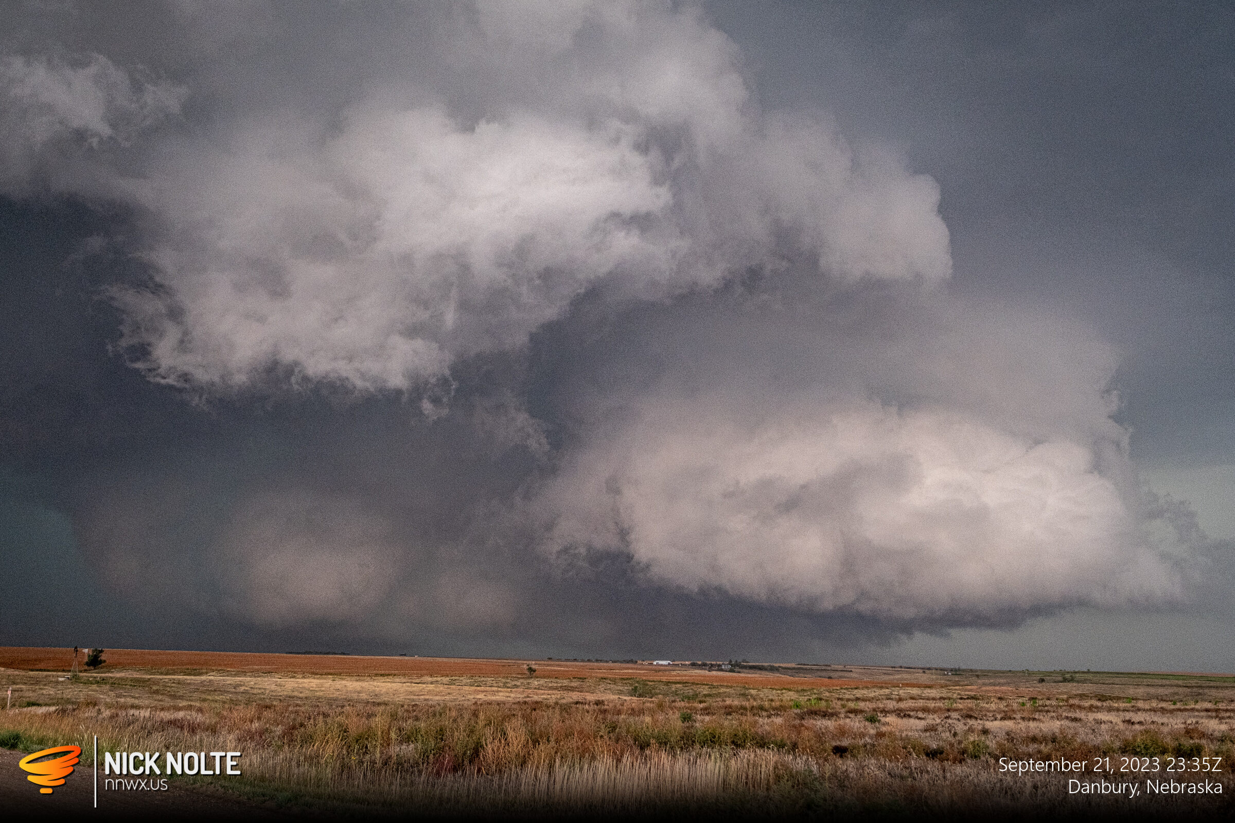
The wall cloud always appeared blocky and very close to the ground, but no tornado reports ever materialized from this cell as I tracked it to Lebanon. As the sun began to set I decided to begin the trek home. As the storm trundled into Kansas, there was a tornado report near Norton, but I was already long gone.
Chase Recap
| START | END | DURATION |
|---|---|---|
| Grand Island, NE @ 21/1855Z | Grand Island, NE @ 22/0228Z | 07 hours, 33 minutes |
| INTERCEPTS | CHASER ENCOUNTERS |
|---|---|
| None | Freddy McKinney (3) |