| 1 | 2.75" | 70 | 676 |
|---|---|---|---|
| TORNADOES | HAIL | WIND | MILES |
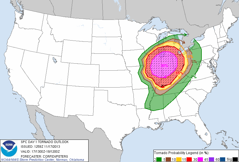
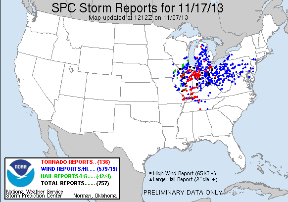
November 17, 2013 was a late season chase that was characterized by a rather high shear setup and some modest instability at the surface. Everything was pointing to this being an early show, like, really early. So, I left my house in Michigan at about 11z to head southwest and get in position. Even leaving at 6am, I was still worried I might not make it in time. SPC had a high risk out for the Illinois/Indiana area which included a 30% hatched probability for tornadoes. My initial plan was to stage in Kankakee and modify my position west and south from there depending on the conditions once the sun came up.
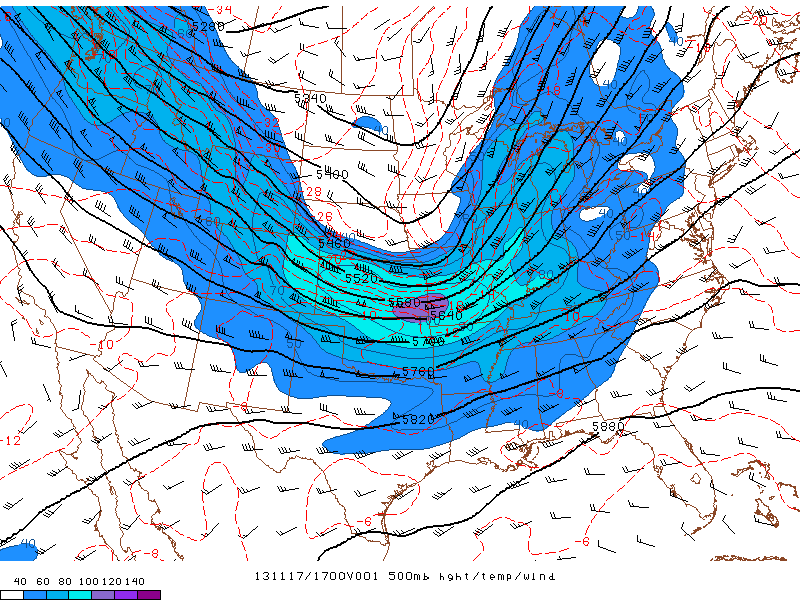
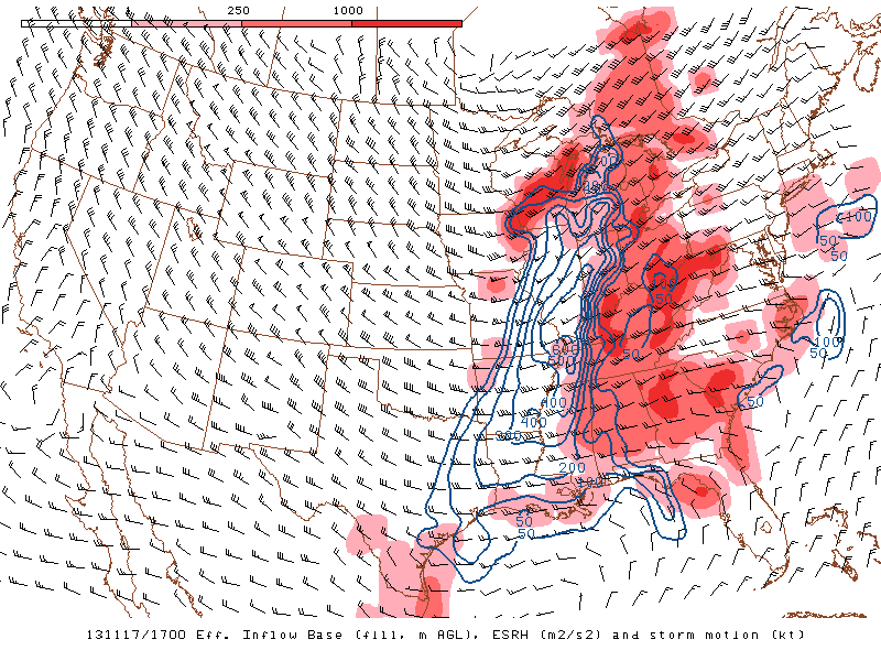
The parameters for the day looked pretty good for a chance at a tornadic storm. Very strong shear characterized by a westerly 100kt jet streak rounding the base of a negatively tilted trough. Dewpoints in the target area were expected to reach the mid 60s with a very strong southerly wind. A forecasted 70-80kt low level jet also added a bit of intrigue. Storms would be moving very swiftly, so I was anticipating this day to be more of a intercept day than chase.
During the drive down, the SPC issued a mesoscale discussion for a probable tornado watch to be issued for the target area at 1347z which is about as early as you get those. The PDS watch came out about an hour later, specifically mentioning the possibility of long track, significant tornadoes.
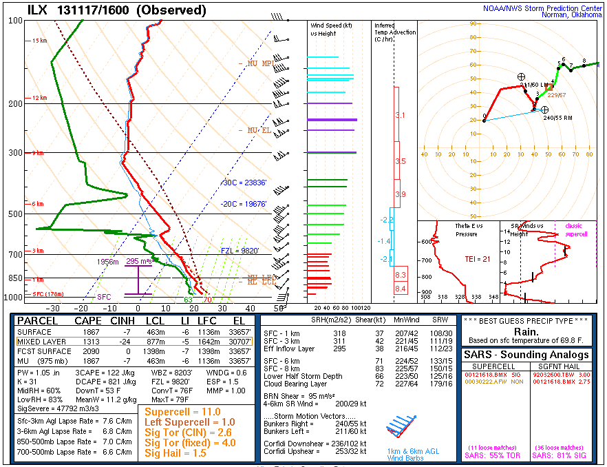
I arrived in Kankakee at 1530z and cells had just begun to form along the Mississippi River. The clearing in the clouds over Illinois increased my confidence that the forecast for tornadoes would verify. I noted the spotter network icon of fellow chaser, Jonathan Williamson just west of me in Dwight, so I moseyed on over and met up with him. Peoria released a special 16z sounding that showed a very primed atmosphere with 1300 MLCAPE, strong low level helicity over 300 m2/s2, very strong shear on the order of 70kts and a 50kt LLJ.
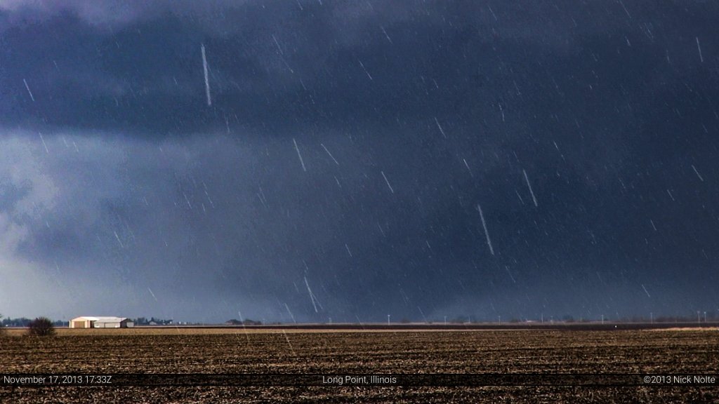
Not long after meeting up, storms started to intensify and many were already severe warned and we made the decision to head west and target the storm that was coming up from Peoria. Right about the time of that decision, that storm went tornado warned and we hustled west and stopped at an intersection between Long Point and Streator and watched the storm come in our direction.
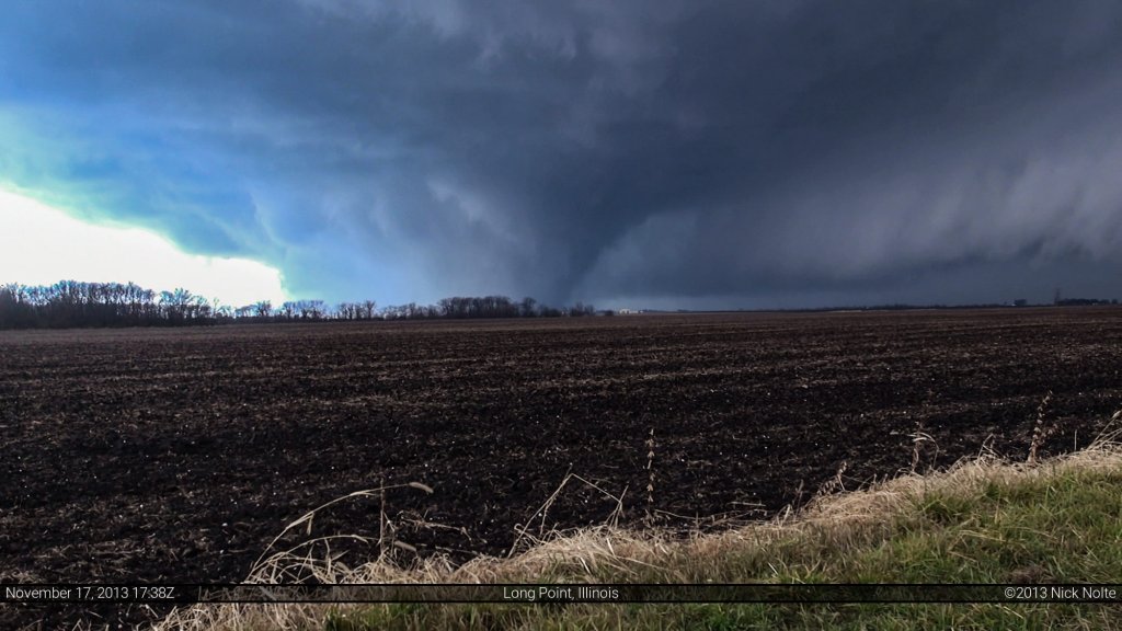
We noted that we were still quite a ways away so we repositioned to the southwest along E 2600 N Rd between E 12th Rd and N 100 E Rd west of Long Point. It was here we finally got a visual on the large tornado that was already in progress and had been reported in Washington.
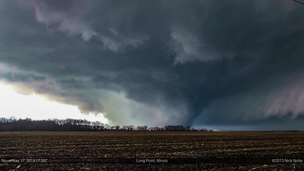
As the tornado drew closer we got a good visual of it riding the forward flank front of the storm, which I’m not sure I’d seen quite that clearly before. The tornado appeared to be pulling itself along the front like rope in a tug-of-war. It was quite cool to see.
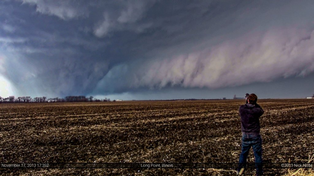
And being the photo-bomber that he is, Jon got into what would have been one of my all time great shots.
We soon realized that there wasn’t much transnational motion to the tornado, so it became apparent that is was, more or less, barreling right for us. After watching for a few more seconds we hopped in our cars and got the hell out of there as the storm wound down and the tornado would dissipate near Long Point.
All in all, a successful and memorable chase to cap off the 2013 season
Chase Recap
| START | END | DURATION |
|---|---|---|
| Grass Lake, MI @ 17/1106Z | Grass Lake, MI @ 17/2300Z | 11 hours, 54 minutes |
| INTERCEPTS | CHASER ENCOUNTERS |
|---|---|
| 17/1734Z @ 2 W Long Point, IL | Andrew Newcomb (2) Bandit (8) Donovan Gruner (2) Emilie Williamson (9) Jonathan Williamson (57) Scott Weberpal (1) |


