28
Jul
July 28, 2018 – CO/NE/WY Tri-State Area
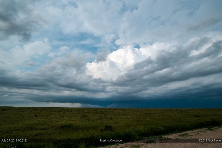
Severe storms were expected to fire along the Front Range in Colorado and migrate eastward throughout the day. With high CAPE values and moist dewpoints expected in the Nebraska Panhandle area, this appeared to be a relatively favorable area for supercells and possible tornadoes with the easterly upslope flow.
Read more