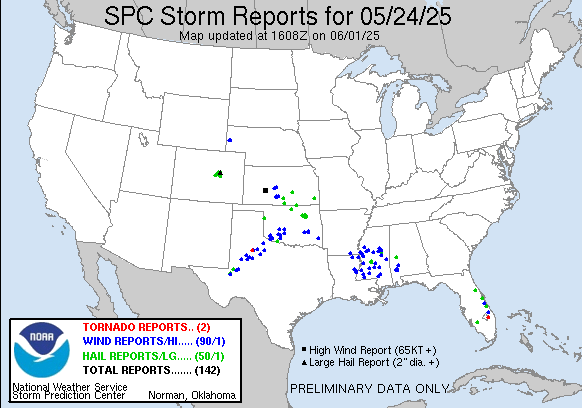
| 0 | 1.25" | 60 | 418 |
|---|---|---|---|
| TORNADOES | HAIL | WIND | MILES |
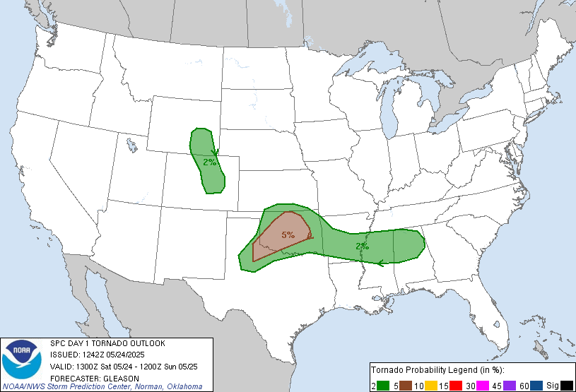
May 24th featured a typical high plains upslope flow day with marginal chance for tornadoes. The SPC only had a 2% risk outlined from Douglas, WY to Colorado Springs, CO. Instability wasn’t forecast to be big, but it’s Colorado so half the time that doesn’t matter. Shear was enough to get stuff going so I was expecting storms to fire early in the afternoon right off the Front Range so the plan was to head towards Denver.
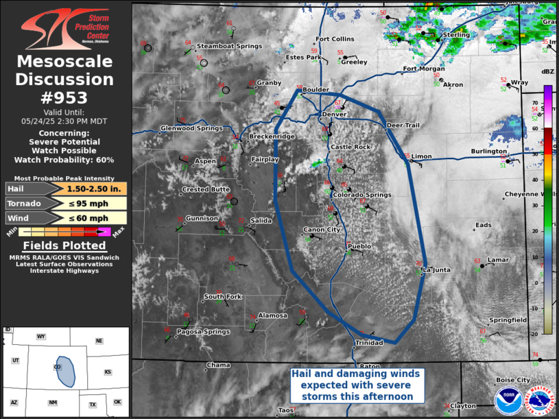
We took off from Fort Morgan just before 16z and the plan was to play south of Denver as it looked like initiation would happen around Castle Rock. The SPC issued a mesoscale discussion a bit after 18z as satellite was showing a developing cumulus field along I-25 between Denver and Pueblo with a couple storms initiating deep in the hills west of Castle Rock.
We made our way to Castle Rock and arrived right around 19z as the first cells started to go up right over town. Traffic is kind of crazy along highway 86 west of Elizabeth and I knew the storm would need some time to get going so I headed east beyond Elizabeth where we found a spot to setup to watch the storm get going.
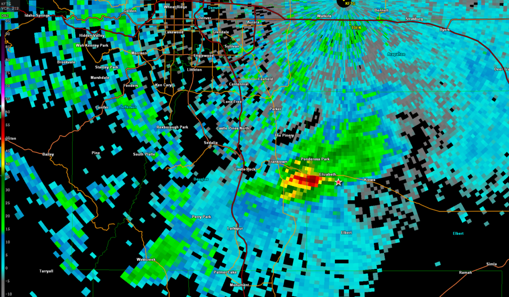
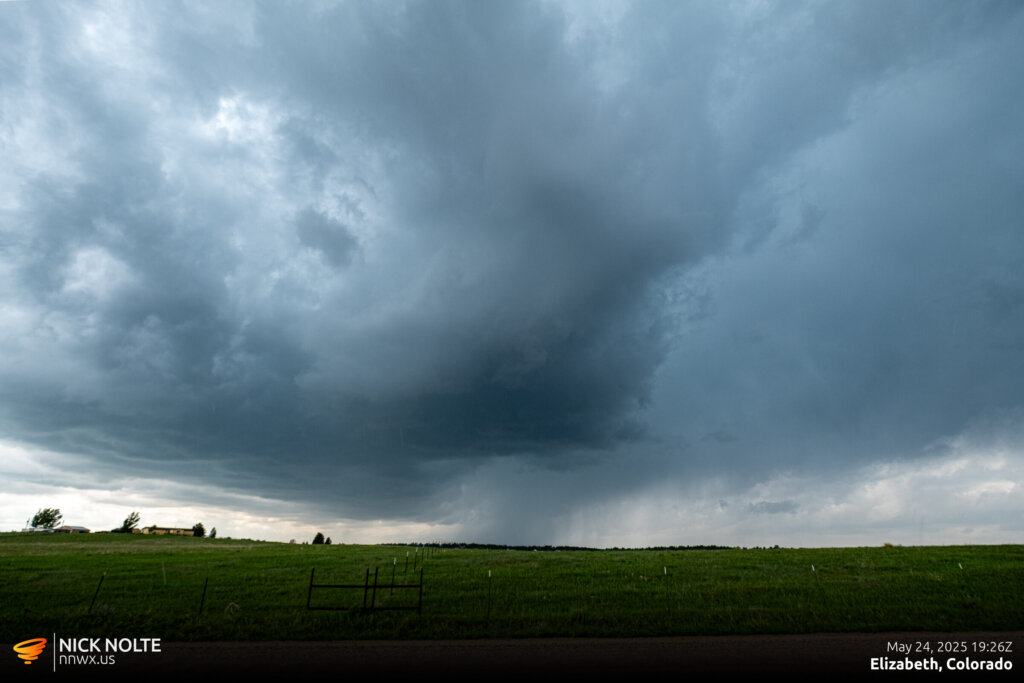
The road network in this area of Colorado isn’t great and I drove down to Elbert to avoid the inevitable storm crossing highway 86. I wanted to be able to give it some space and move north when we needed to. South of Elbert there was a brief moment where the storm looked like it was going to wrap up and drop a brief tornado, but it never got the job done.
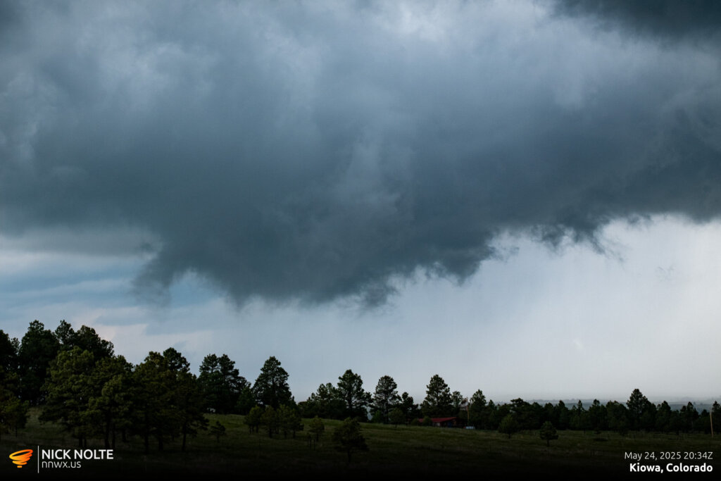
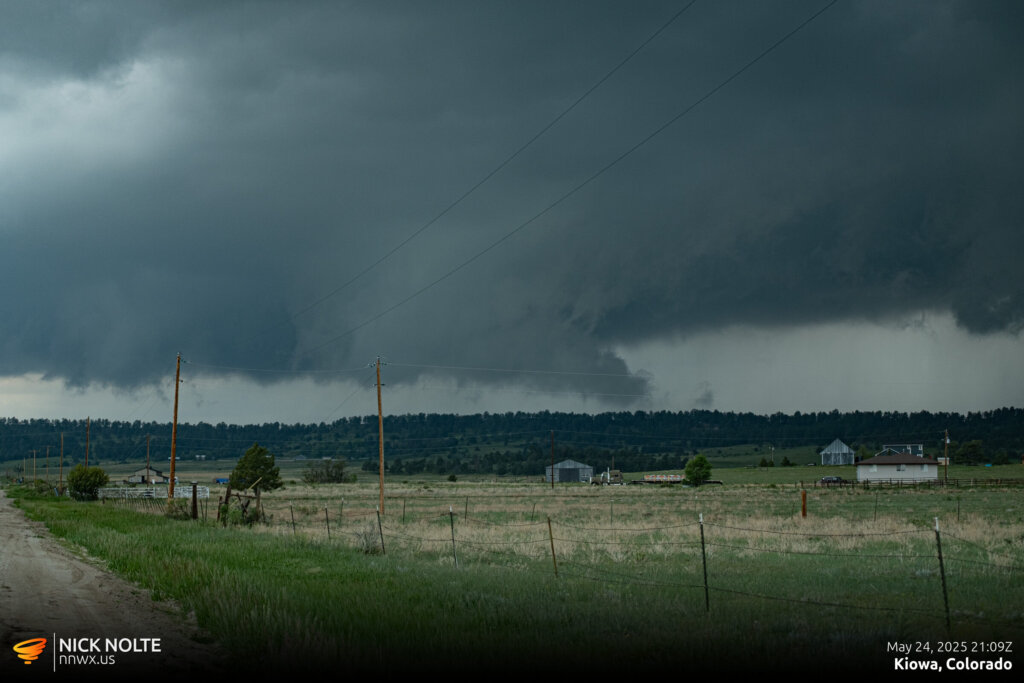
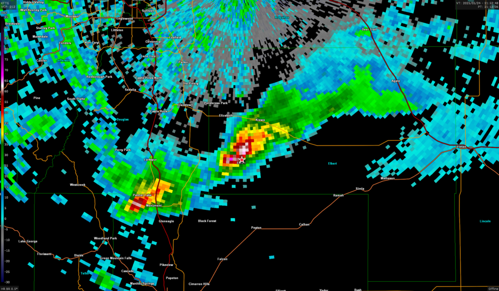
The storm started to drop 2″ hailstones along highway 86 while we were positioned south of the storm. As it tracked east it started to weaken a little bit as a new storm developed near Castle Rock. I decided to attempt to intercept the new cell so we hit highway 86 and drove back west towards Kiowa where we ended up dropping south yet again towards Elbert.
There was an interesting cloud feature within the storm at this point, it sort of looked like a funnel but was more like a transient roll cloud that appeared vertically tilted. It was strange to say the least, but it didn’t last very long either way.
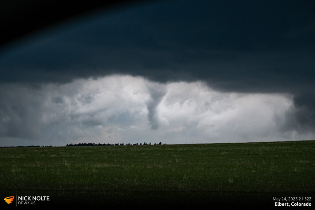
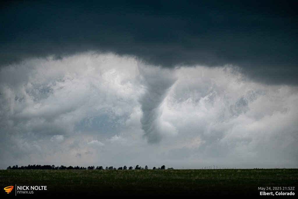
At this point, the storm had a pretty beefy, ragged wall cloud in the distance. It, too, did not last very long.
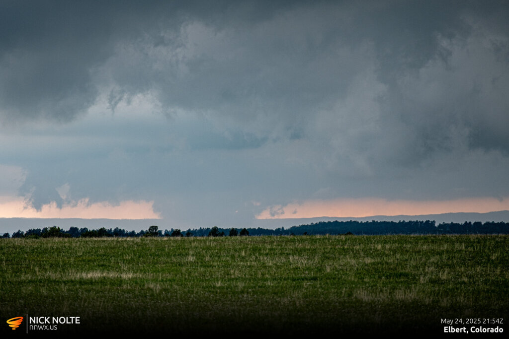
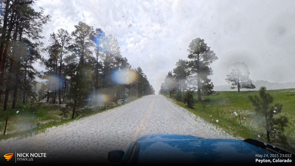
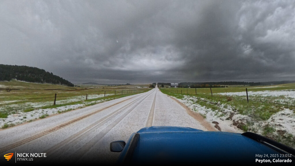
At this point, the storms were pretty outflowy so I re-positioned northwest of Peyton to sample the hail which, in Colorado, tends to fall on the copious side. We found a couple hail covered roads and watched as some golf balls bounced in the fields.
As the storm migrated east it started to dissipate between Calhan and Simla so we called the chase and began the trek home. We ended up stopping in Goodland for the night.
Chase Recap
| START | END | DURATION |
|---|---|---|
| Fort Morgan, CO @ 24/1545Z | Goodland, KS @ 25/0310Z | 11 hours, 25 minutes |
| INTERCEPTS | CHASER ENCOUNTERS |
|---|---|
| None | None |


