| 0 | 0.00" | 60 | 430 |
|---|---|---|---|
| TORNADOES | HAIL | WIND | MILES |
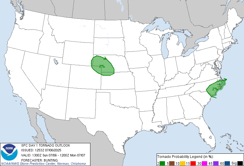
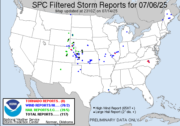
July 6th was a low end severe day. A shortwave trough was forecast to move into the Colorado/Wyoming/Nebraska area while at the surface dewpoints were expected to be in the mid to upper 50s in northeast Colorado around a broad surface low. Storms would fire along the foothills then migrate into the plains of Northeastern Colorado.
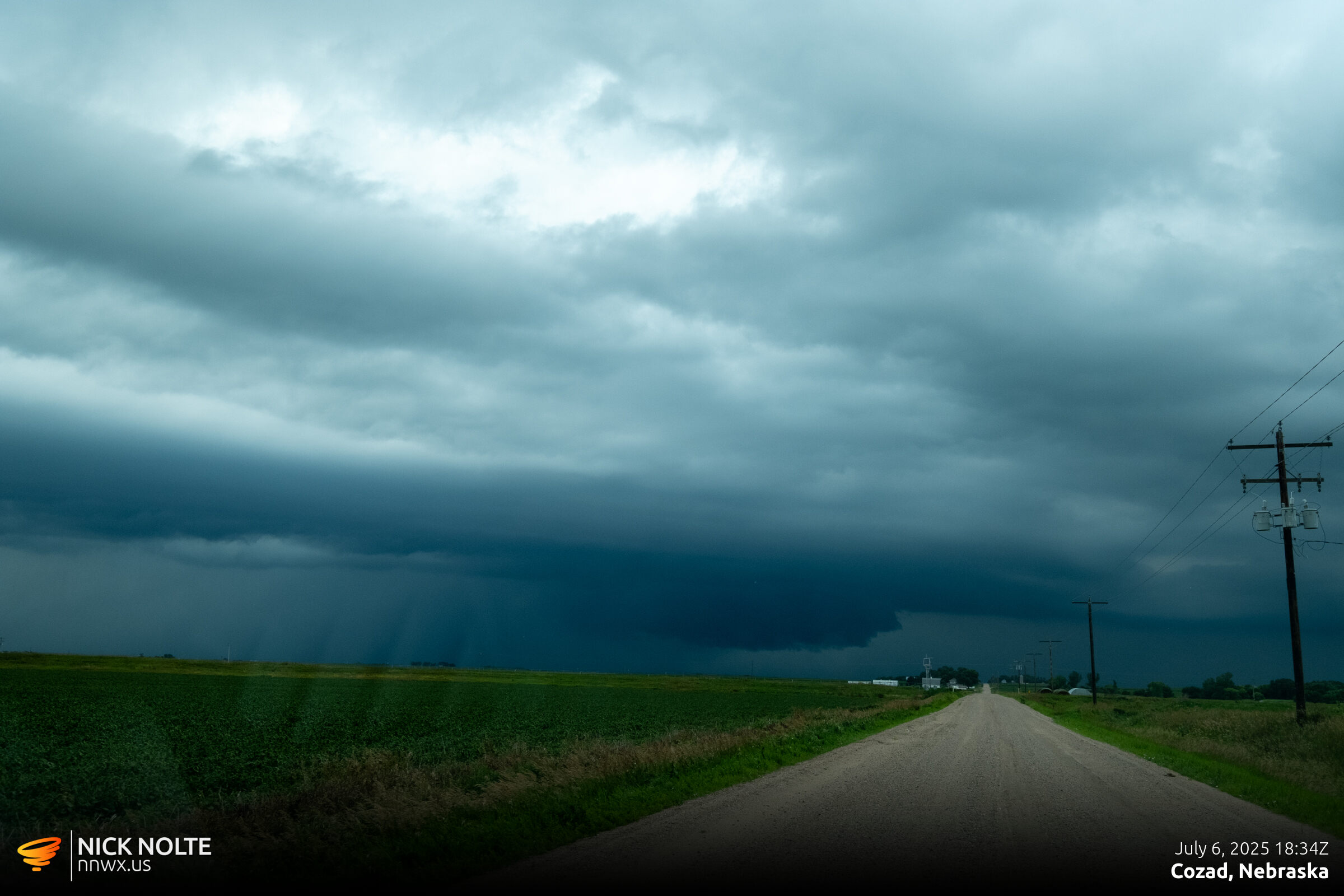
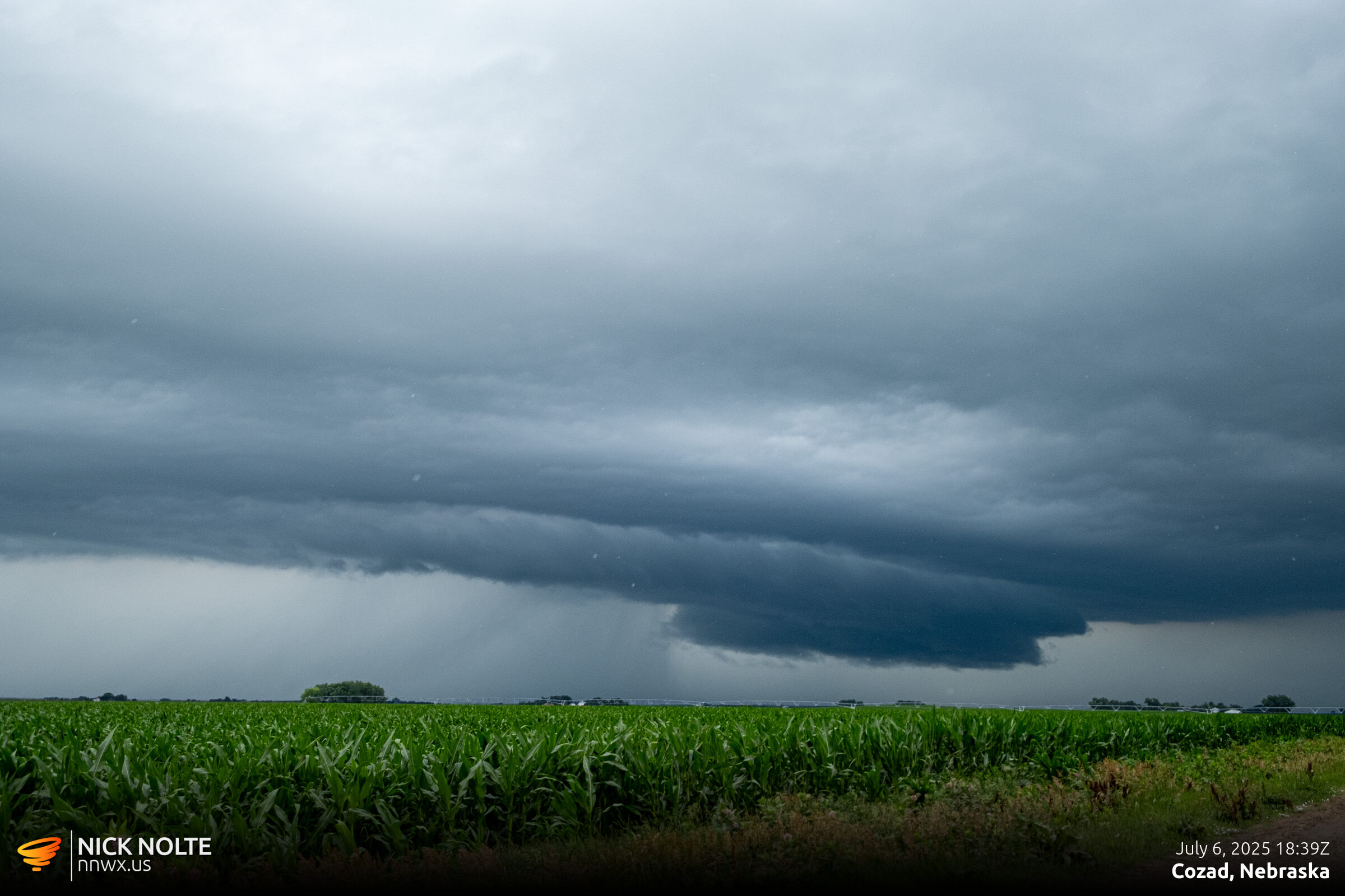
My plan was to head to the Julesburg area to setup for the day hoping we’d get an isolated cell in Northeastern Colorado that could be followed for a bit. As I trekked west along Interstate 80, morning convection was just north of the highway and I ventured around Cozad to check it out as it had some nice structure.
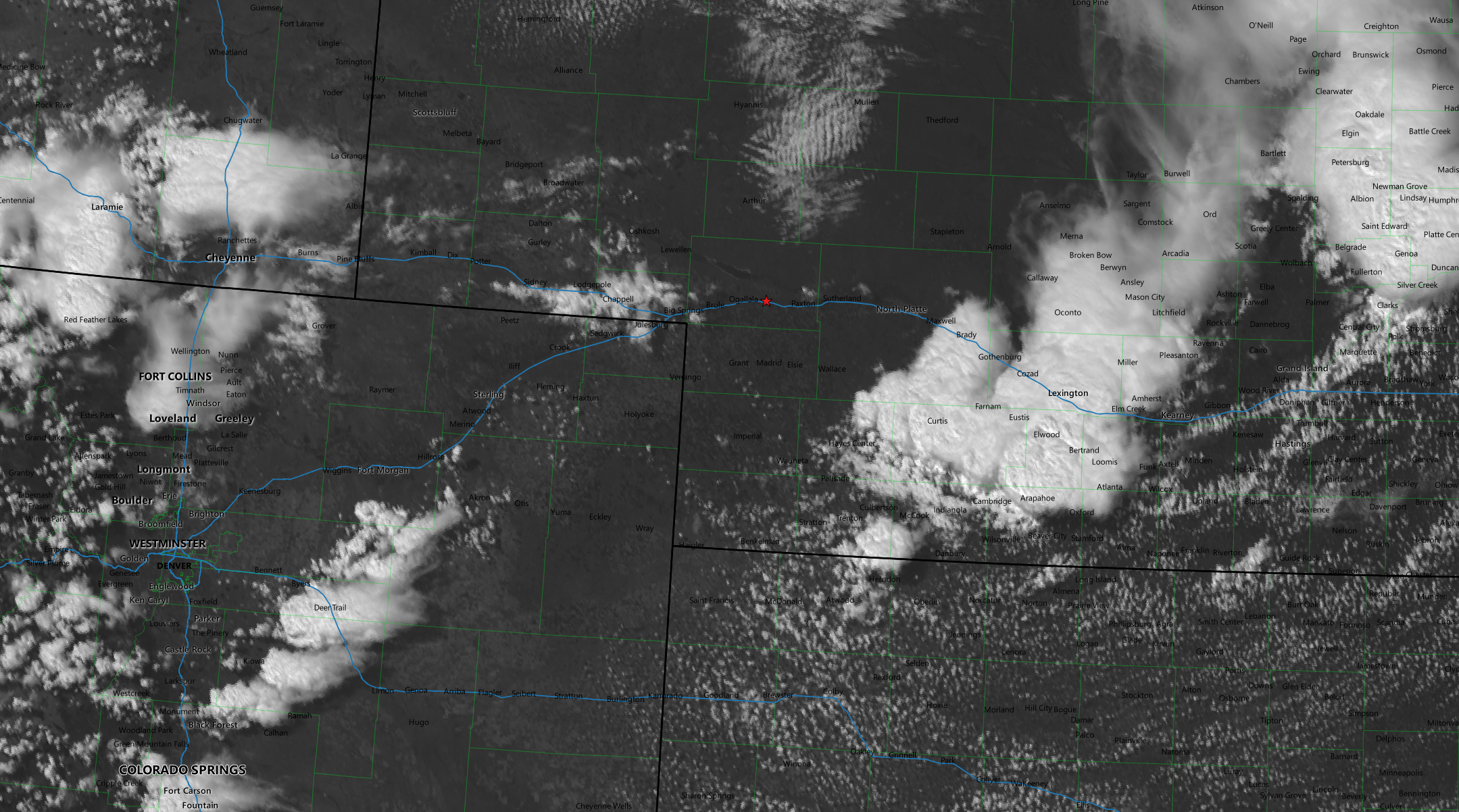
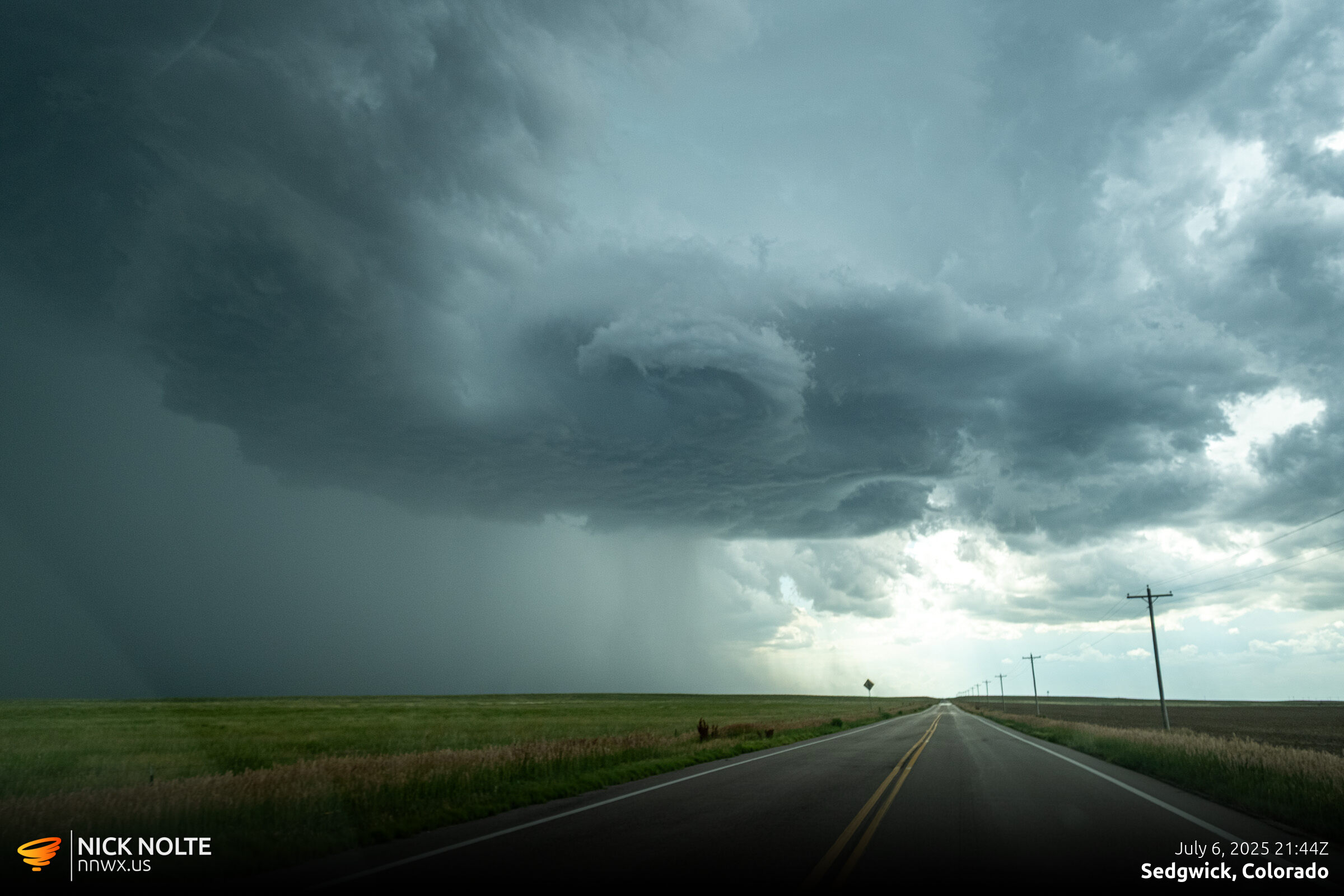
BUT! This was not the main show, so I continued on towards Colorado. While I was messing around with the Nebraska storms a mesoscale discussion came out for my target area indicating that severe storms were likely in the late afternoon in Northeastern Colorado. As I approached Ogallala, visible satellite showed storms firing along the front range south of Fort Morgan and I noticed a developing cumulus field near Sterling, so that’s where I decided to target.
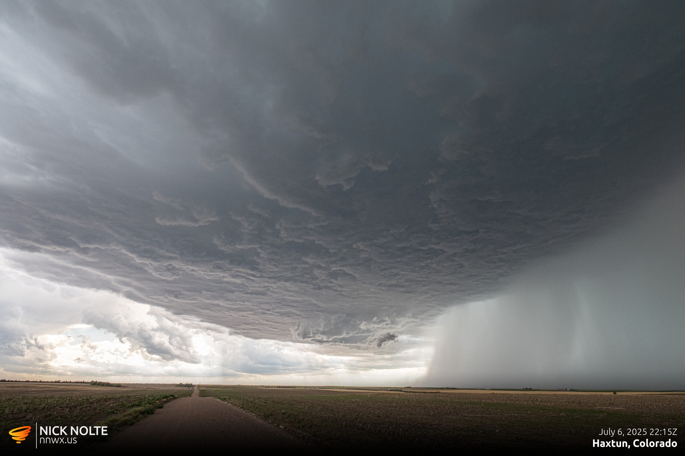
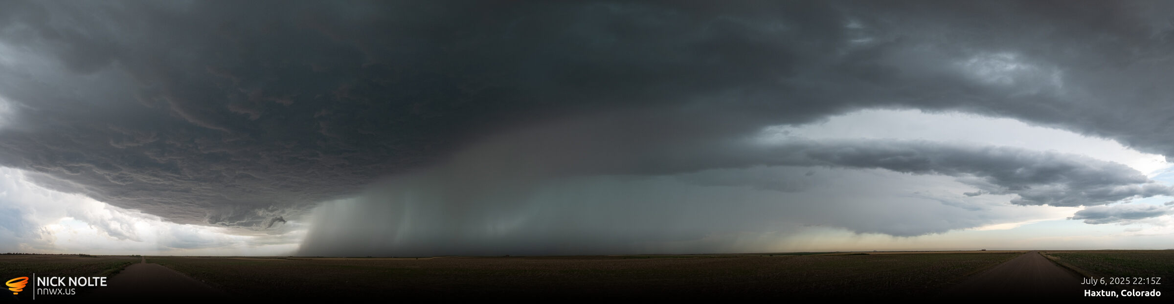
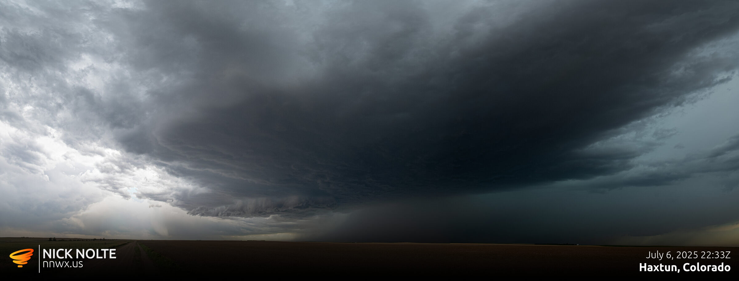
Eventually a cell started to develop out of the cumulus field near Haxtun.
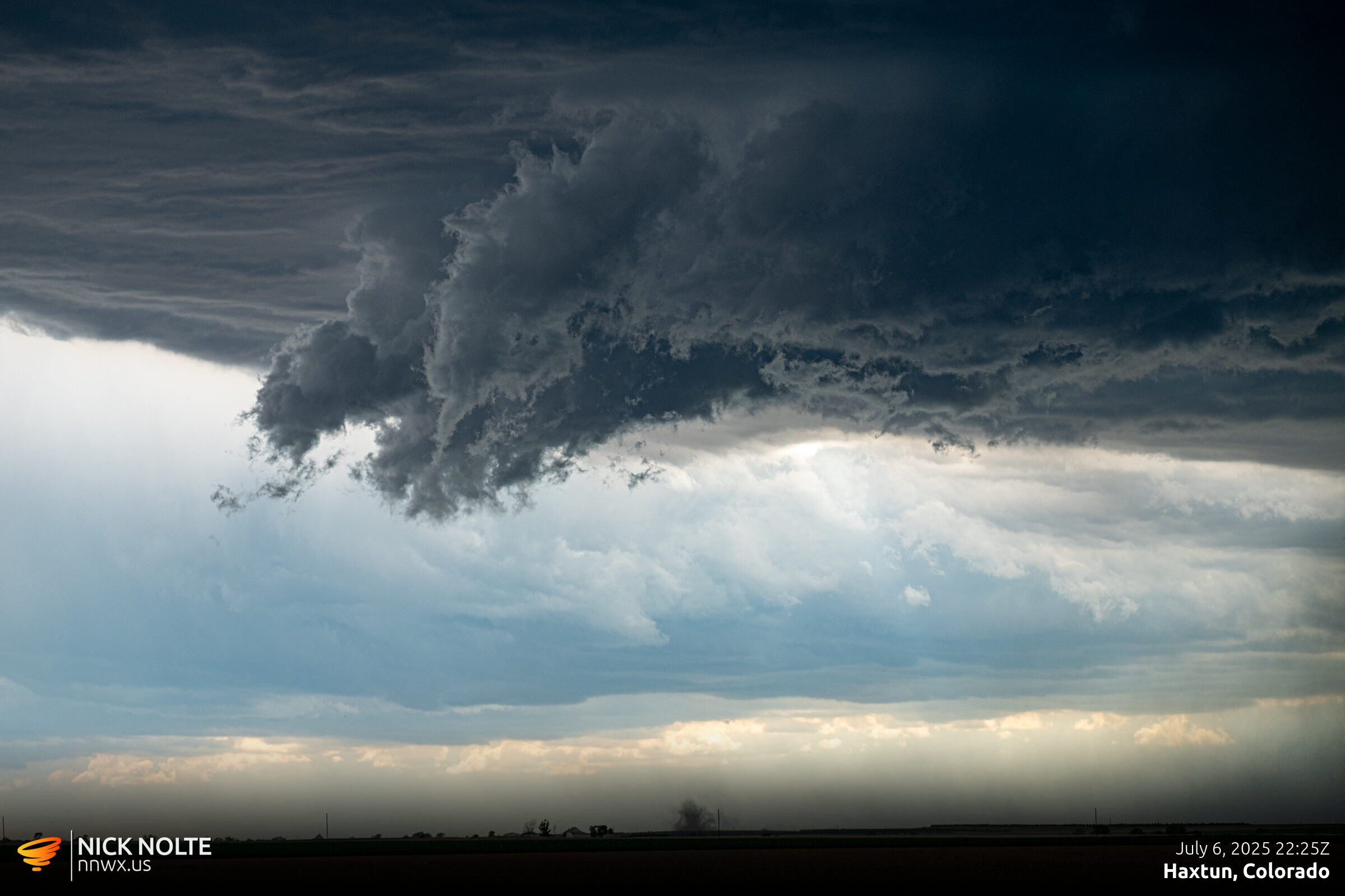
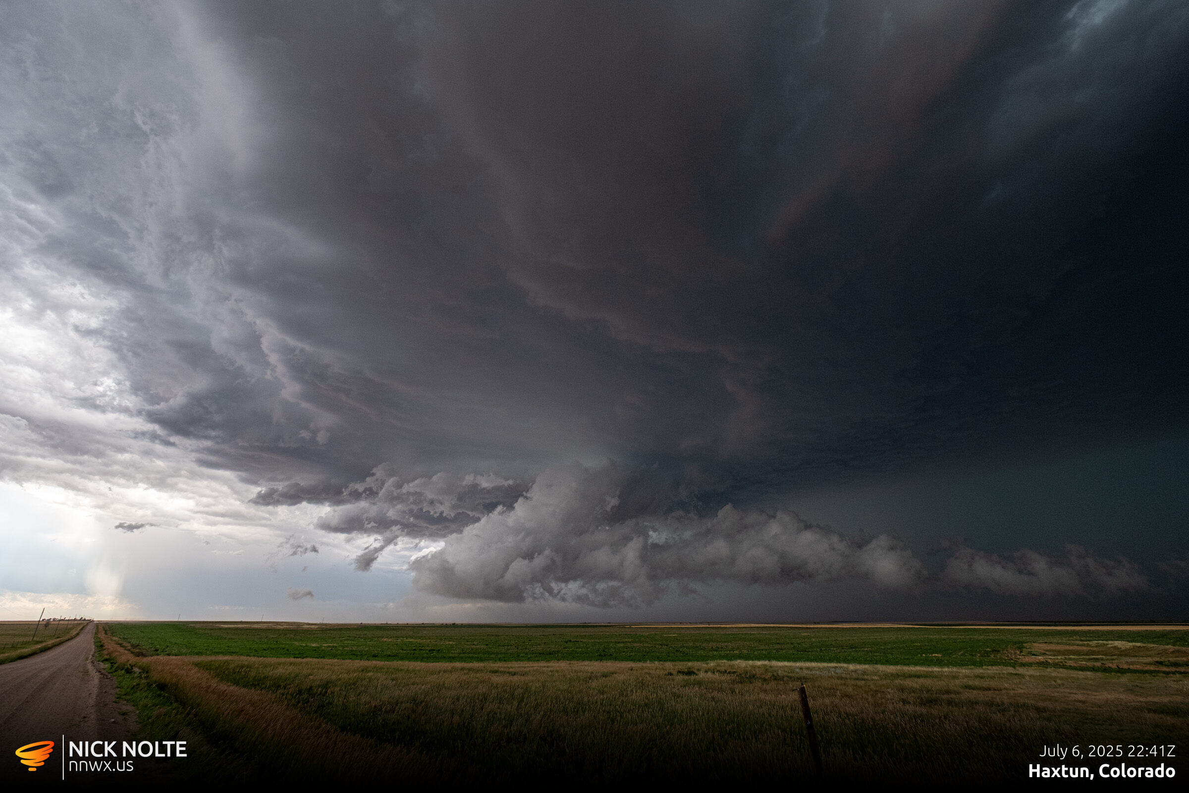
As 23z approached, cells started to weaken and congeal into a messy complex of storms across Northeast Colorado so I ended up calling the chase and headed to Ogallala for the night.
Chase Recap
| START | END | DURATION |
|---|---|---|
| Grand Island, NE @ 06/1648Z | Ogallala, NE @ 07/0040Z | 07 hours, 52 minutes |
| INTERCEPTS | CHASER ENCOUNTERS |
|---|---|
| None | None |