| 0 | 0.00" | 50 | 513 |
|---|---|---|---|
| TORNADOES | HAIL | WIND | MILES |
With a trough over the northwest ejecting eastward, a surface low was expected to develop near the CO/WY/NE tri-point. There was an expectation for thunderstorm development near the triple point which was forecast to be located somewhere in southwestern Nebraska. The main question was timing of the upper wave and whether or not storms would initiate on the front.
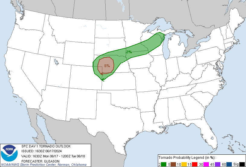
SPC had actually outlined a 5% tornado risk along the triple point and models were forecasting upwards of 4,000 J/Kg in the target area, so I was expecting at least a couple supercells to pop. Expecting a late show I didn’t leave Grand Island until 18z and headed straight down I-80 to North Platte. I arrived there right after 20z. SPC issued a mesoscale discussion at 2230z and it wasn’t until really closer to 0z that satellite showed anything imminent.
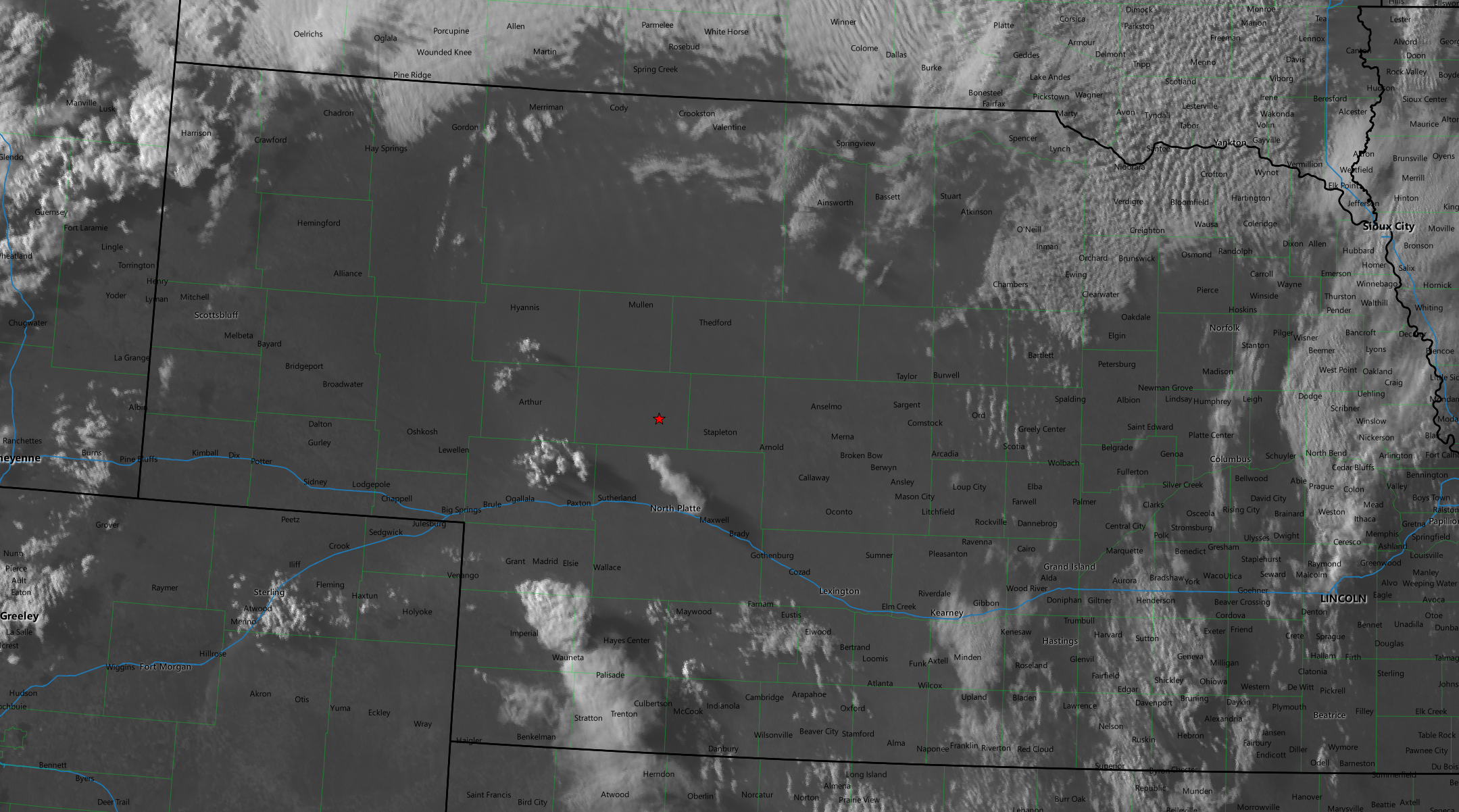
A cell had fired near Imperial and a second cluster of cumulus looked like initiation was imminent so I set my eyes on that with the plan that I could drop south if the north cluster didn’t work out. As I moved west, the cluster started to initiate and at the same time the cell to the south of I-80 began to evaporate. I figured this wasn’t really a good sign for anything in the area, and it turns out that would be the fate of the northern cell as well. But, anyway, at least there’s some cool photos of a storm that tried.
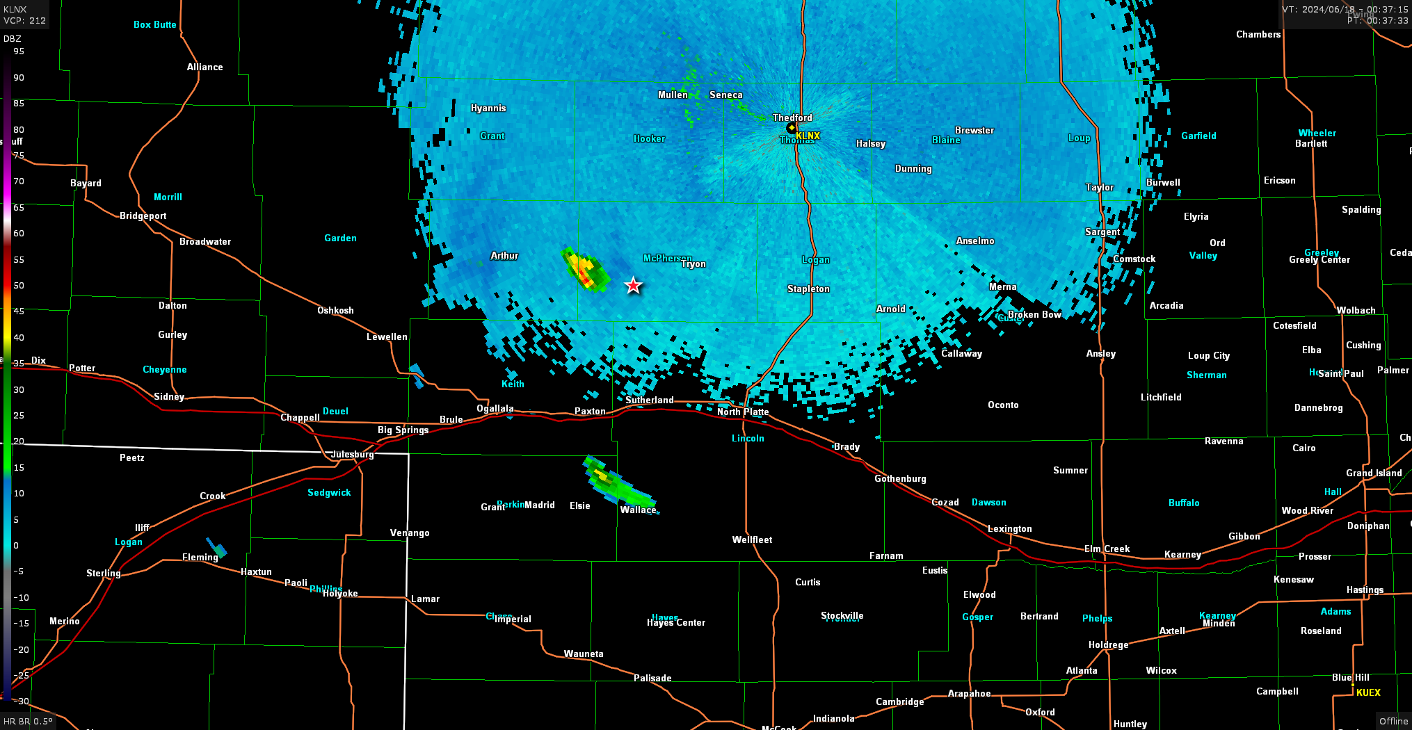
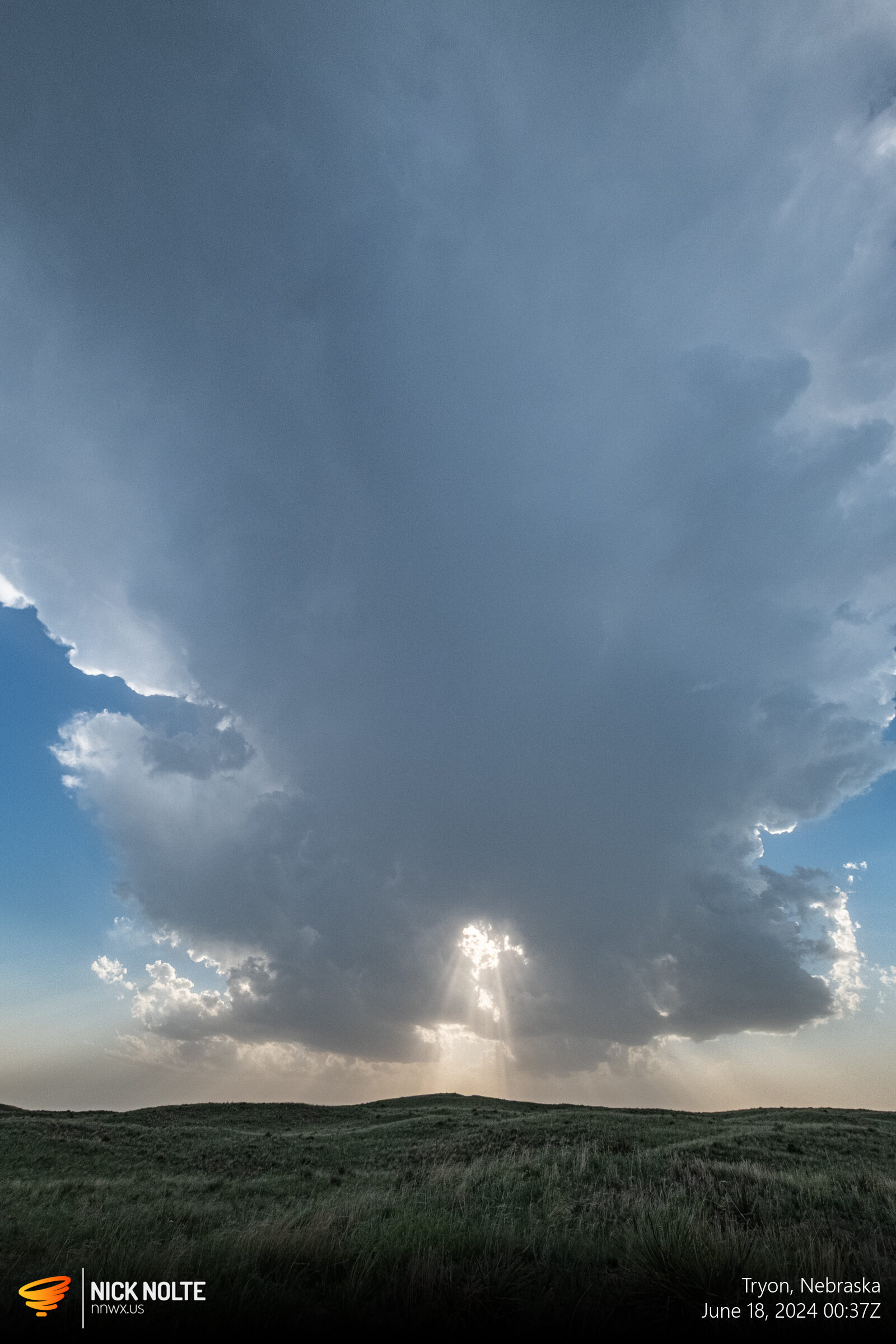
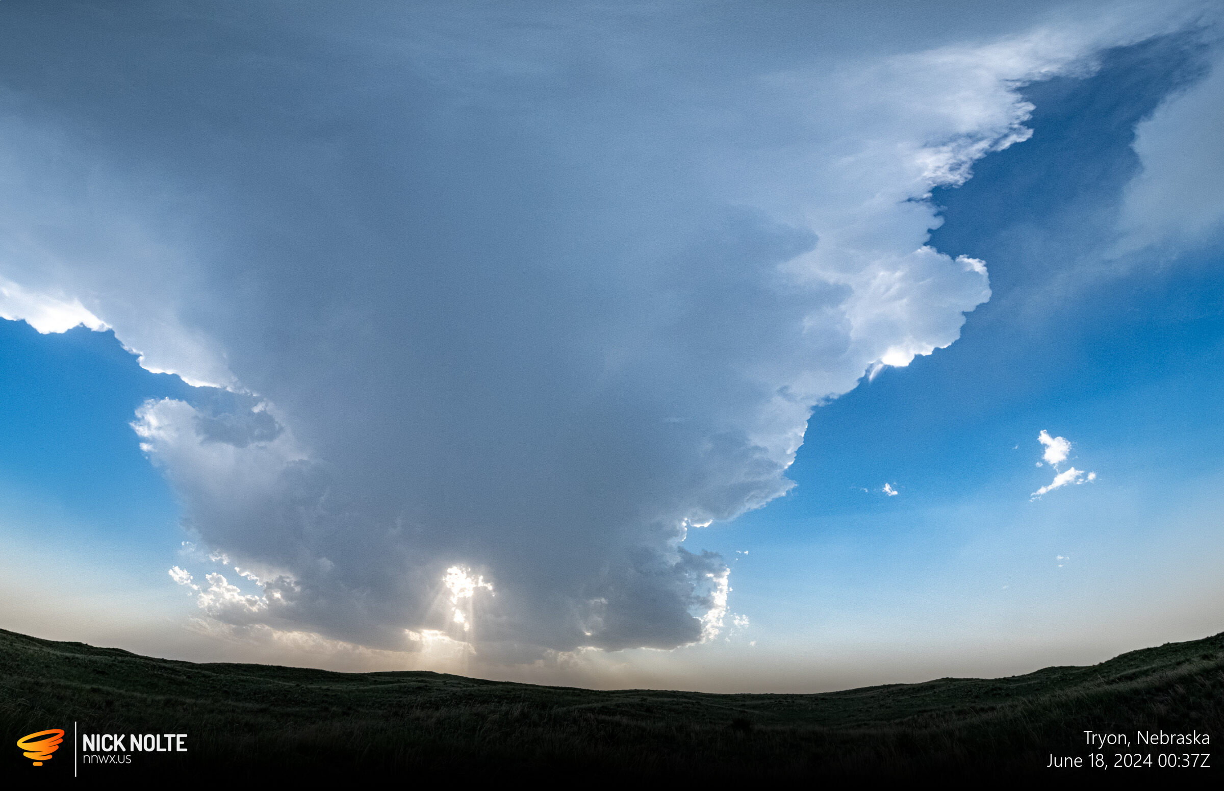
Annd, that’s as good as it got.
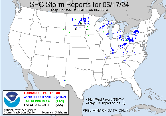
See? Not a single report in the entire state 🙁
Chase Recap
| START | END | DURATION |
|---|---|---|
| Grand Island, NE @ 17/1744Z | Grand Island, NE @ 18/0333Z | 09 hours, 49 minutes |
| INTERCEPTS | CHASER ENCOUNTERS |
|---|---|
| None | None |