22
Jun
June 22, 2025 – Central Nebraska Chase
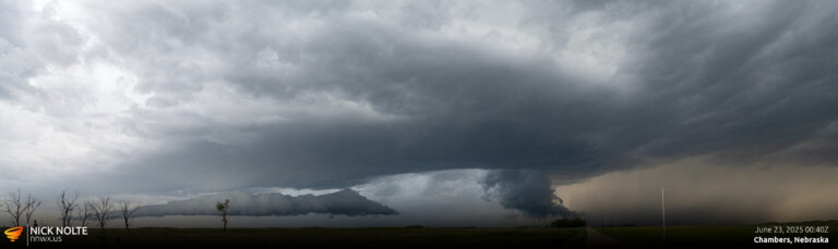
June 22nd featured a surface low in Northern South Dakota and Minnesota with a cold front trailing it across Nebraska into Colorado. This front was expected to stall across Nebraska as a stationary front where MLCAPE reaching 2,000 J/Kg was expected in the warm sector.
Read more