June 2nd was not a day I was planning on chasing as the expectations for thunderstorm development in Nebraska would be later in the evening along a wind shift boundary that would be present in a strongly buoyant atmosphere. It looked like it would be a linear mess, but with it relatively close to home, I kept an eye on it.
As evening wore on, the line of storms developed in North Central Nebraska. It looked like I might be able to dash up Highway 2 and intercept it near Broken Bow, so I took off from Grand Island at 22z which is pretty late for a chase. I pulled up on the storm north of Ansley right at 0z.

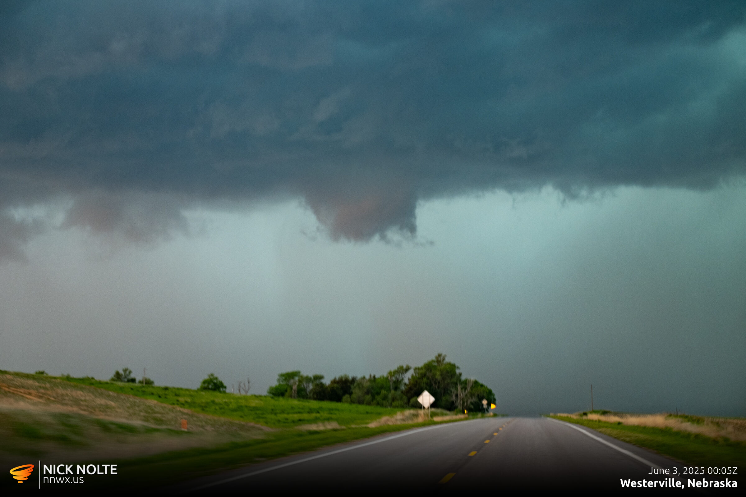
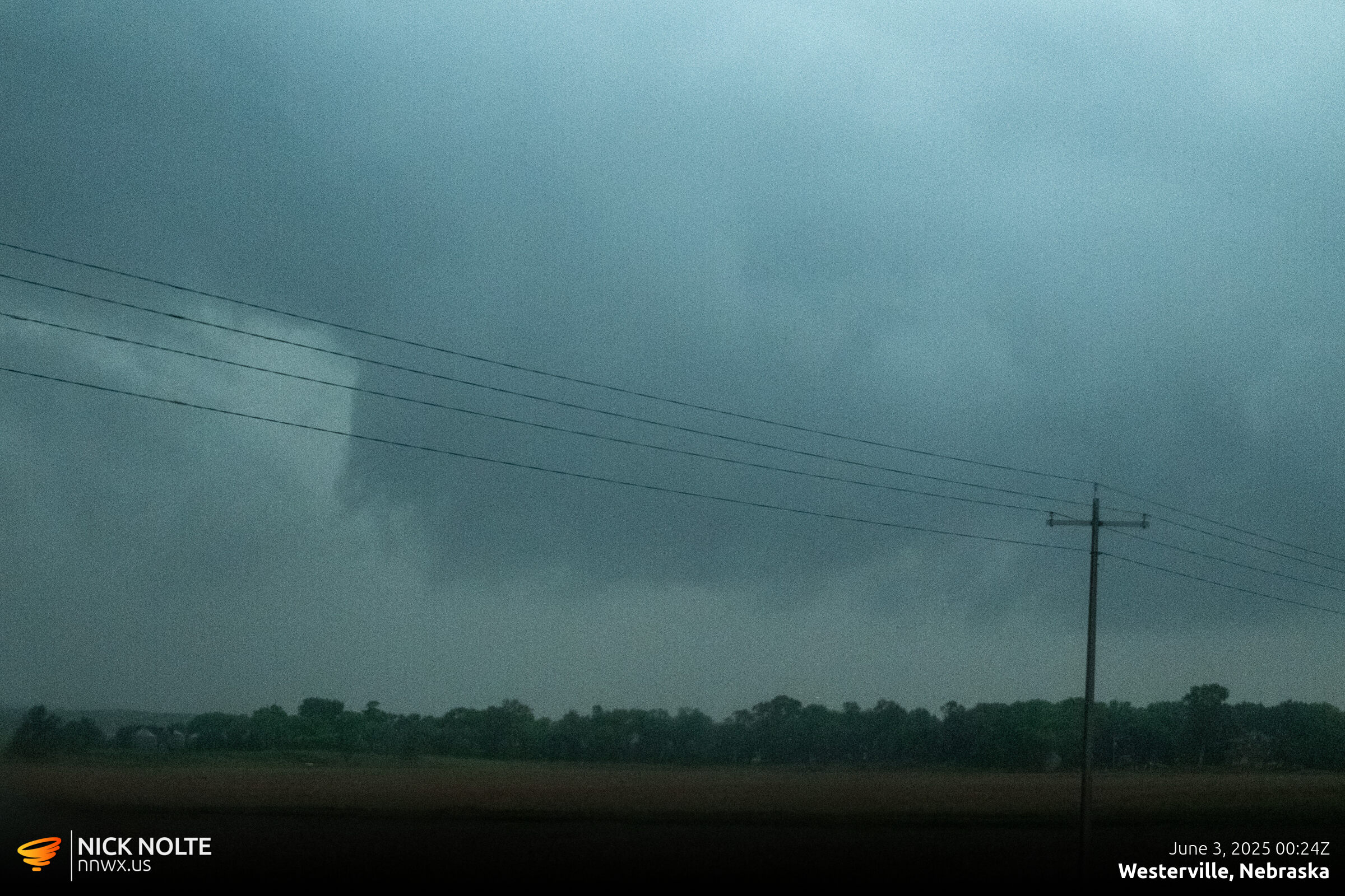
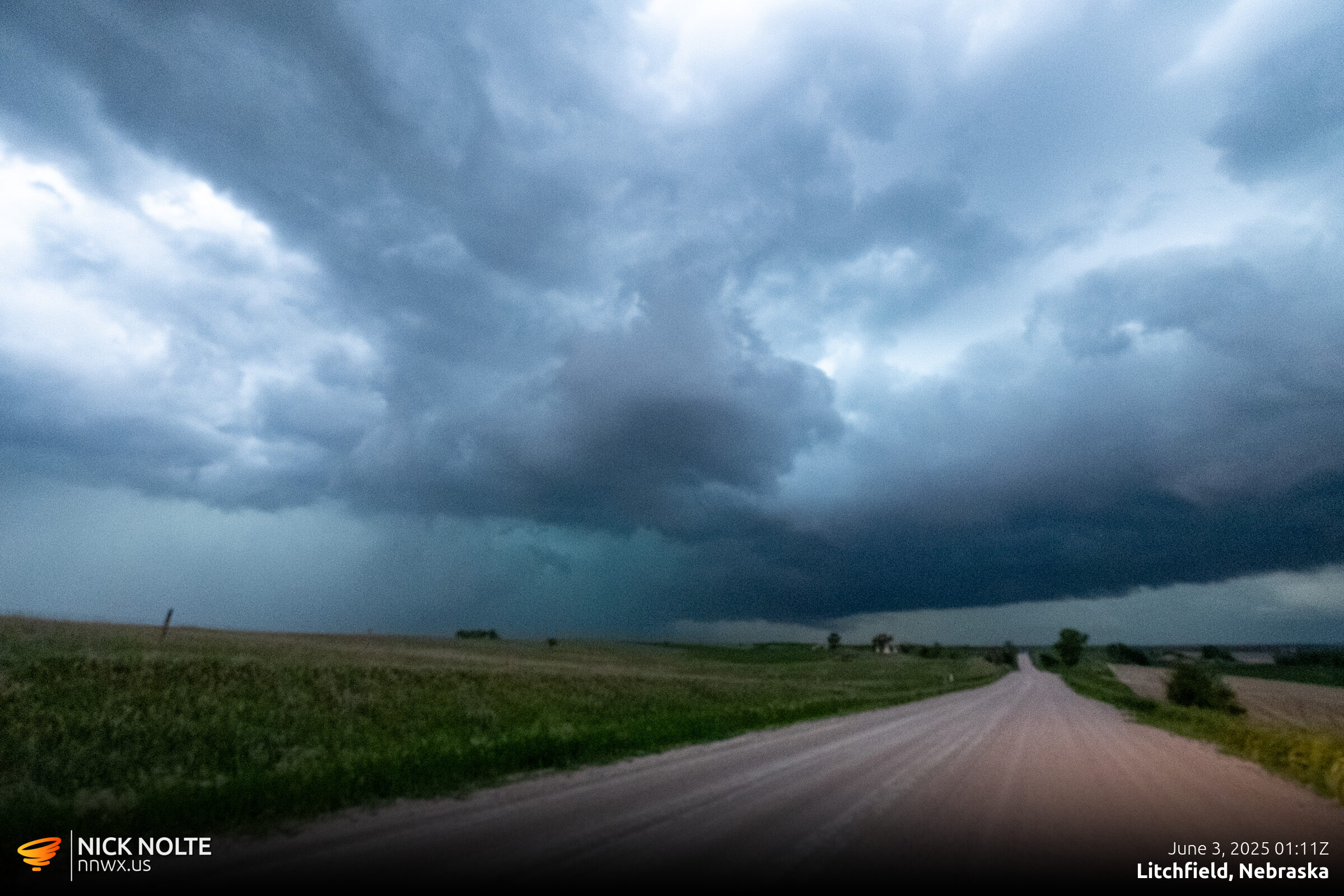
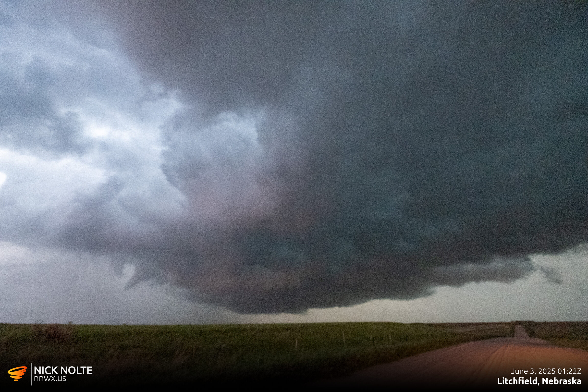
As the line progressed southeast, an outflow boundary became apparent on radar that was curling into the storm I was on so it was possible it had a chance to produce something. I tracked the storm down highway 2 and poked north into it north of Litchfield to see if anything was going on.

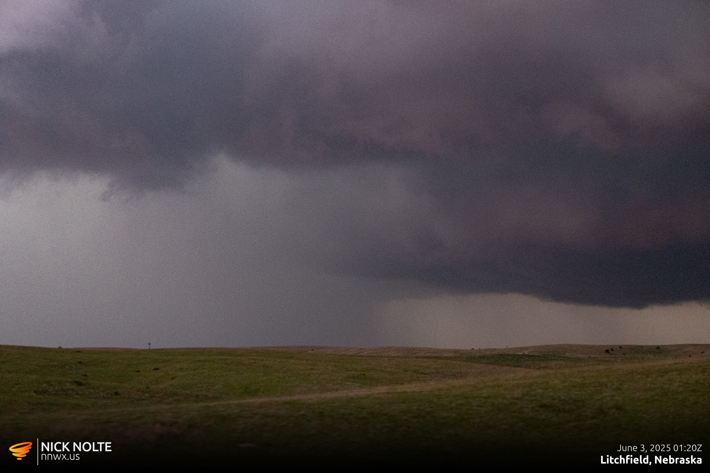
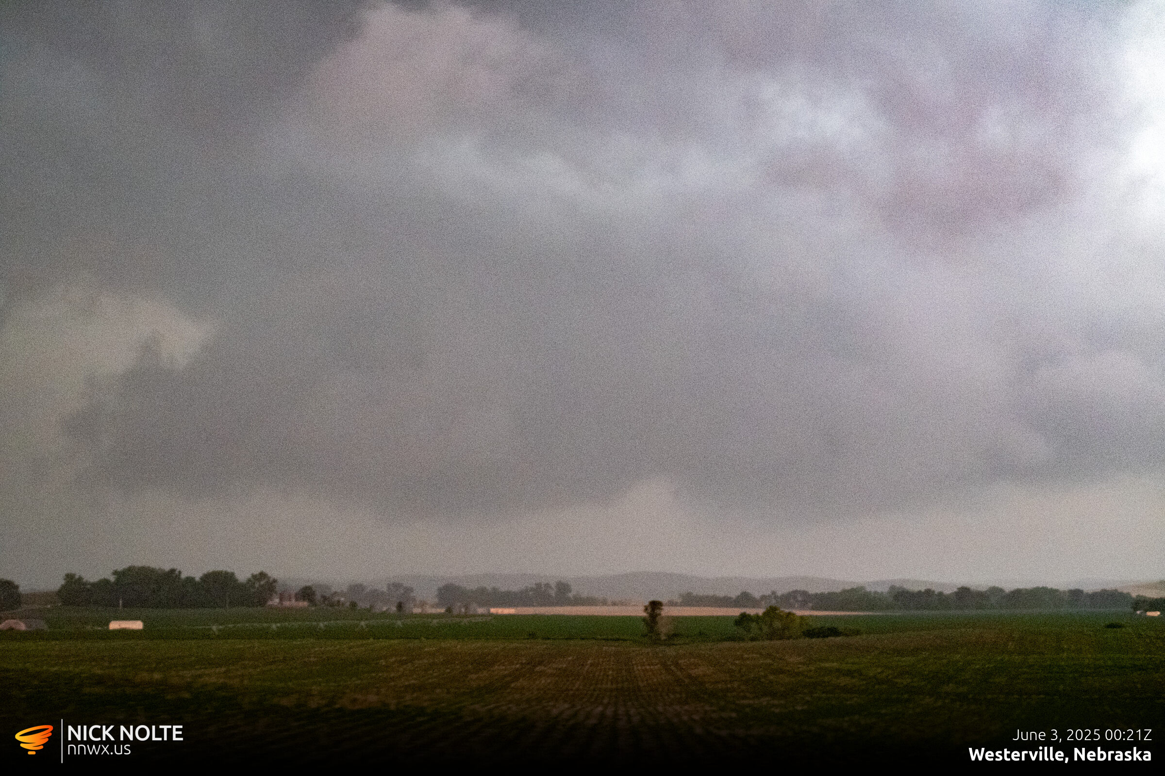
As the storm progressed east and it got darker, it began to weaken. With the waning daylight and lost tornado prospects, I called the chase and headed home.