| 0 | 1.00" | 60 | 350 |
|---|---|---|---|
| TORNADOES | HAIL | WIND | MILES |
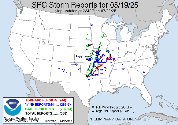
A large trough was forecast to move into the Plains and an elongated surface low was expected to stretch from Northern Oklahoma into Southern Nebraska. While dewpoints were expected to rise into the upper 60s into Eastern Nebraska, sometimes when these diffuse, elongated low pressures happen, things get kinda messy so I had low expectations for the day.
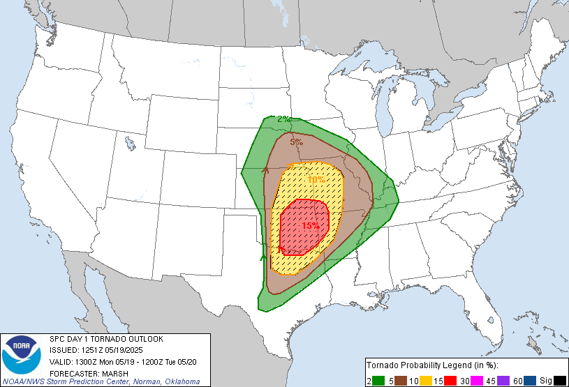
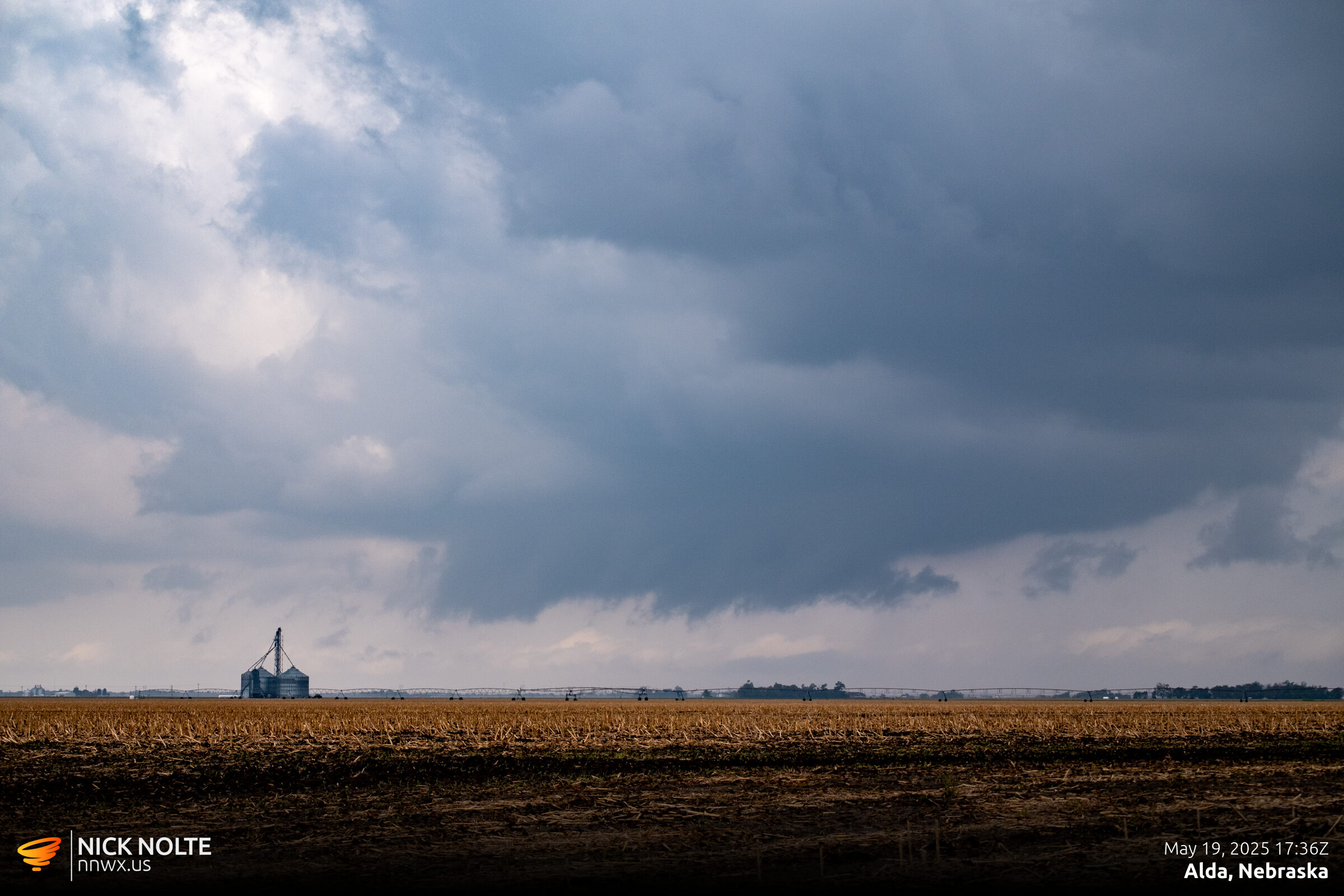
While SPC had a 15% tornado risk further south along the dryline in Oklahoma, I was planning to play close to home in Eastern Nebraska where 5% probabilities were hanging out. When these elongated lows happen I tend to target the northern edge where the winds back, so my initial plan was to just hang out at home and wait for something to happen then go track it. Storms actually fired just west of town near Alda so I headed out and started the chase.
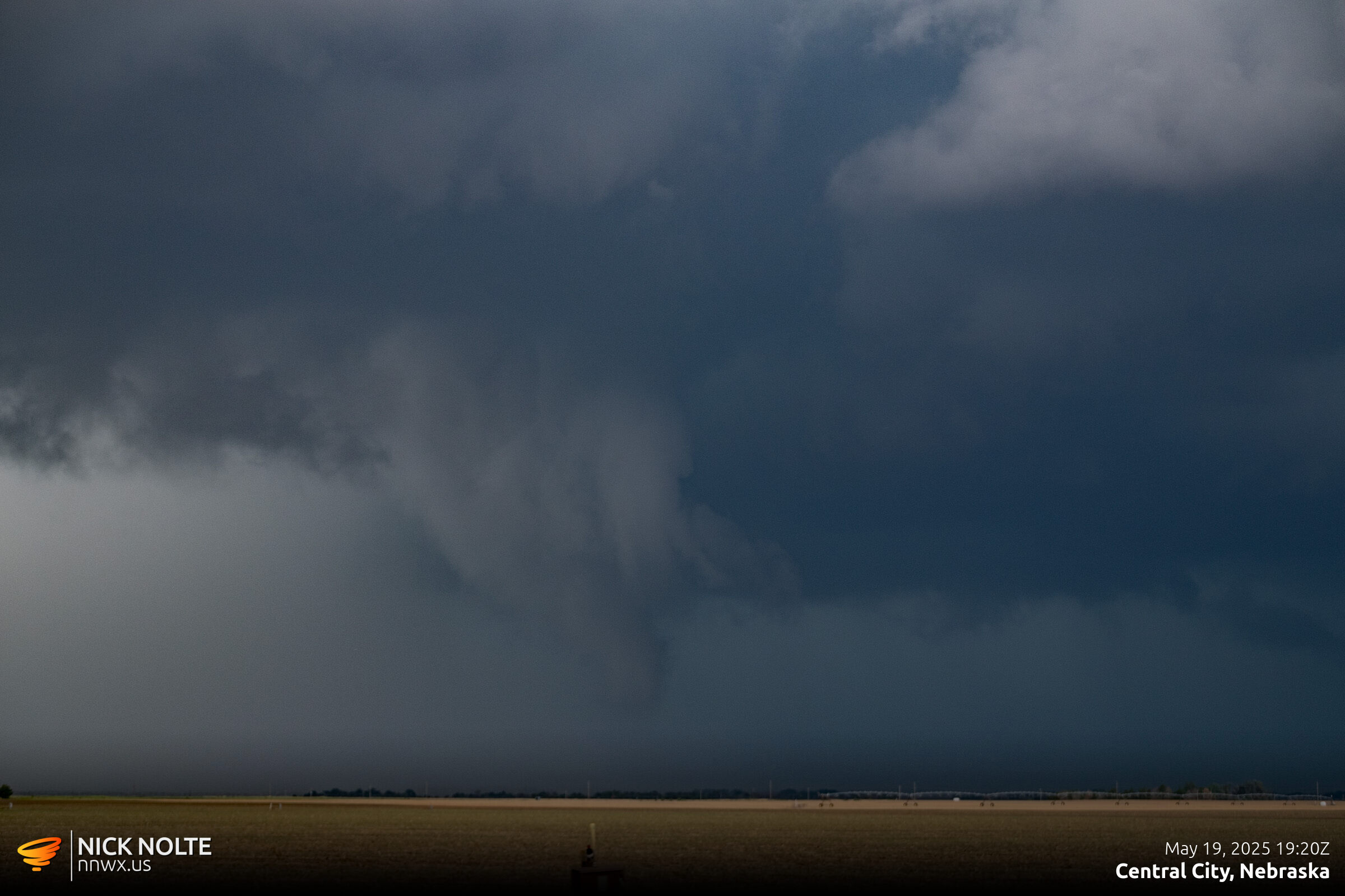
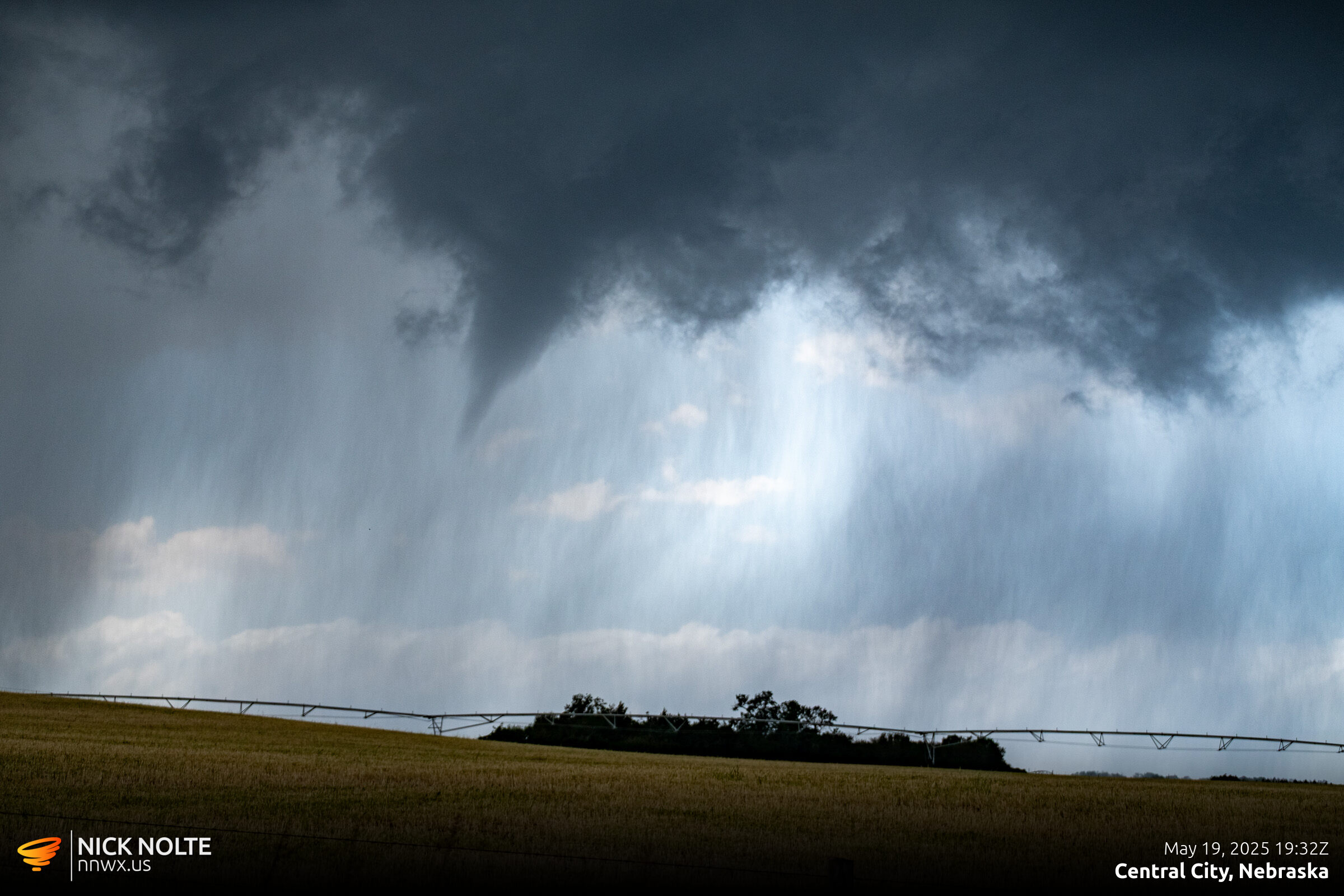
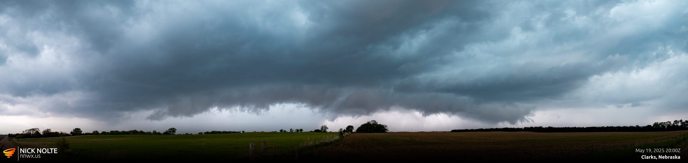
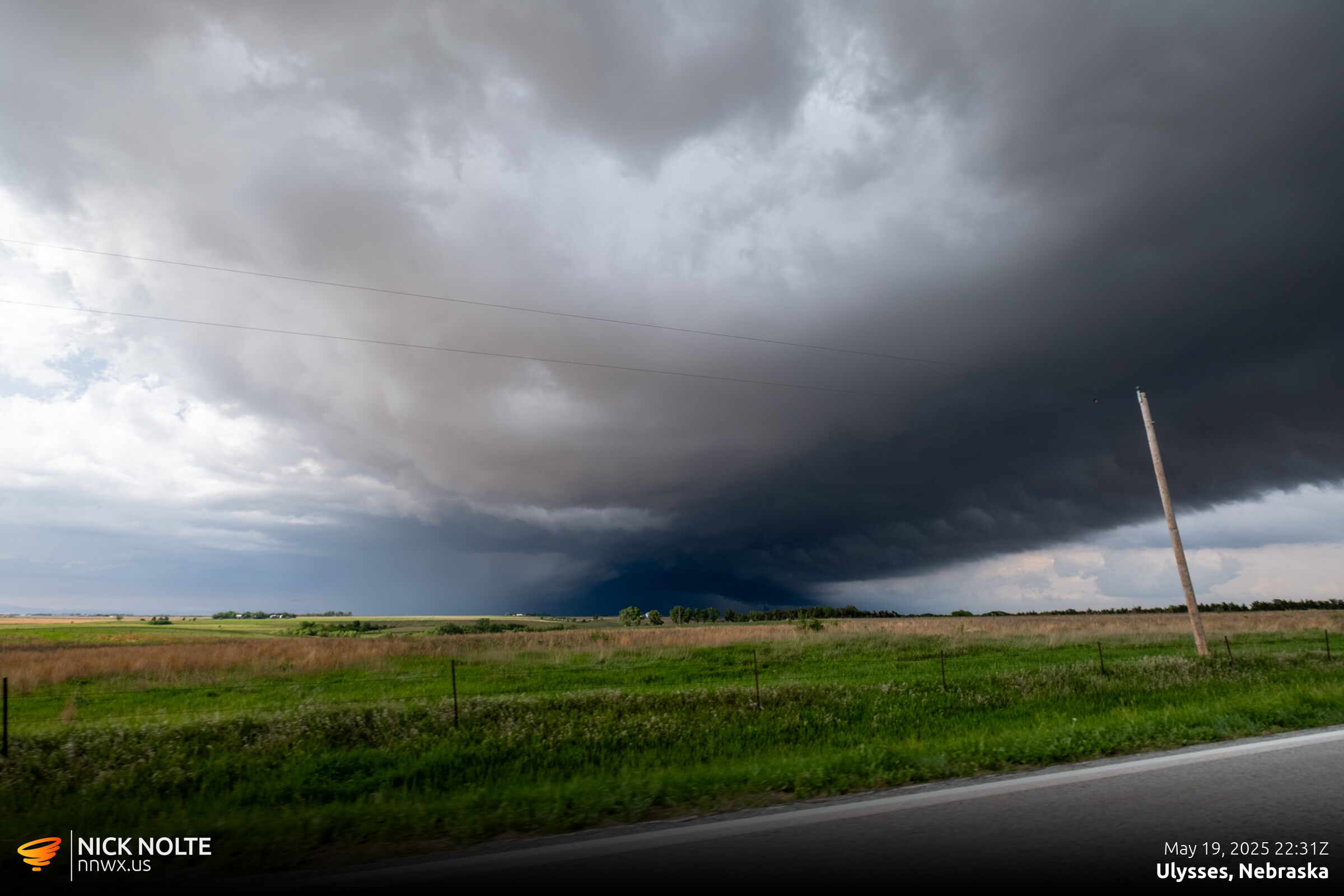
I stuck with this storm as it tracked northeast and near Fullerton it went tornado warned. About 6 miles south of Fullerton there was a wall cloud cycle with a funnel cloud but no tornado reports or surveys materialized for this area.
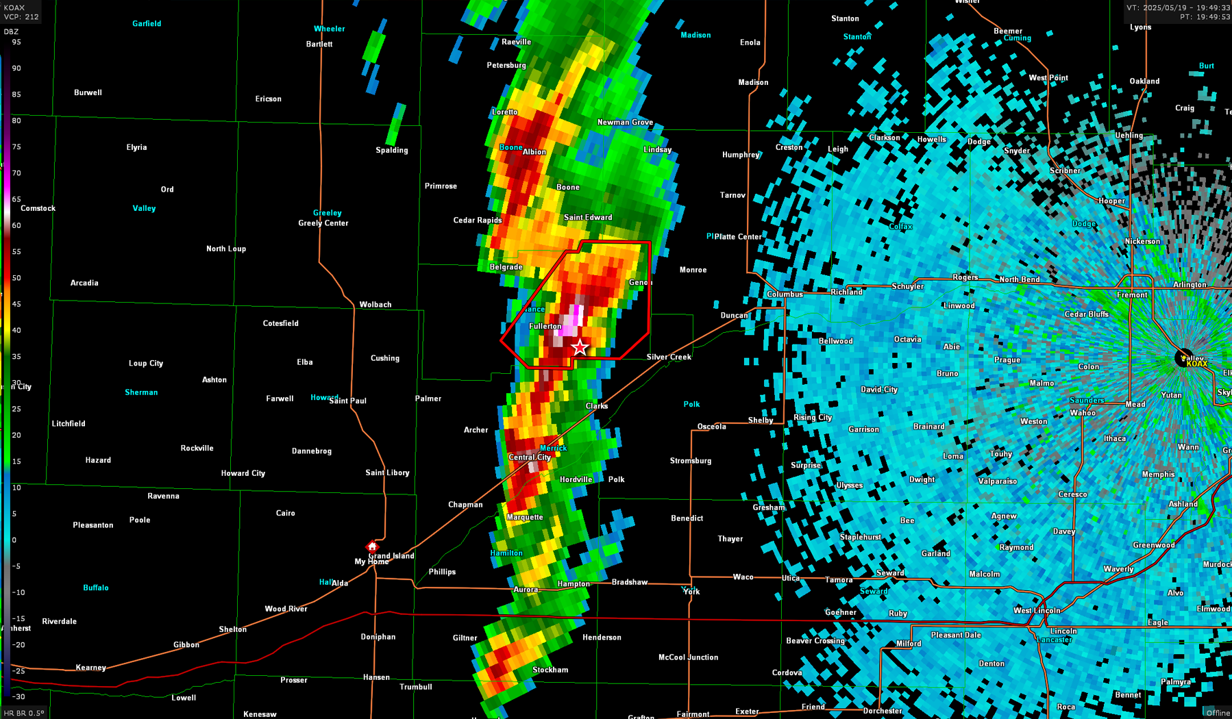
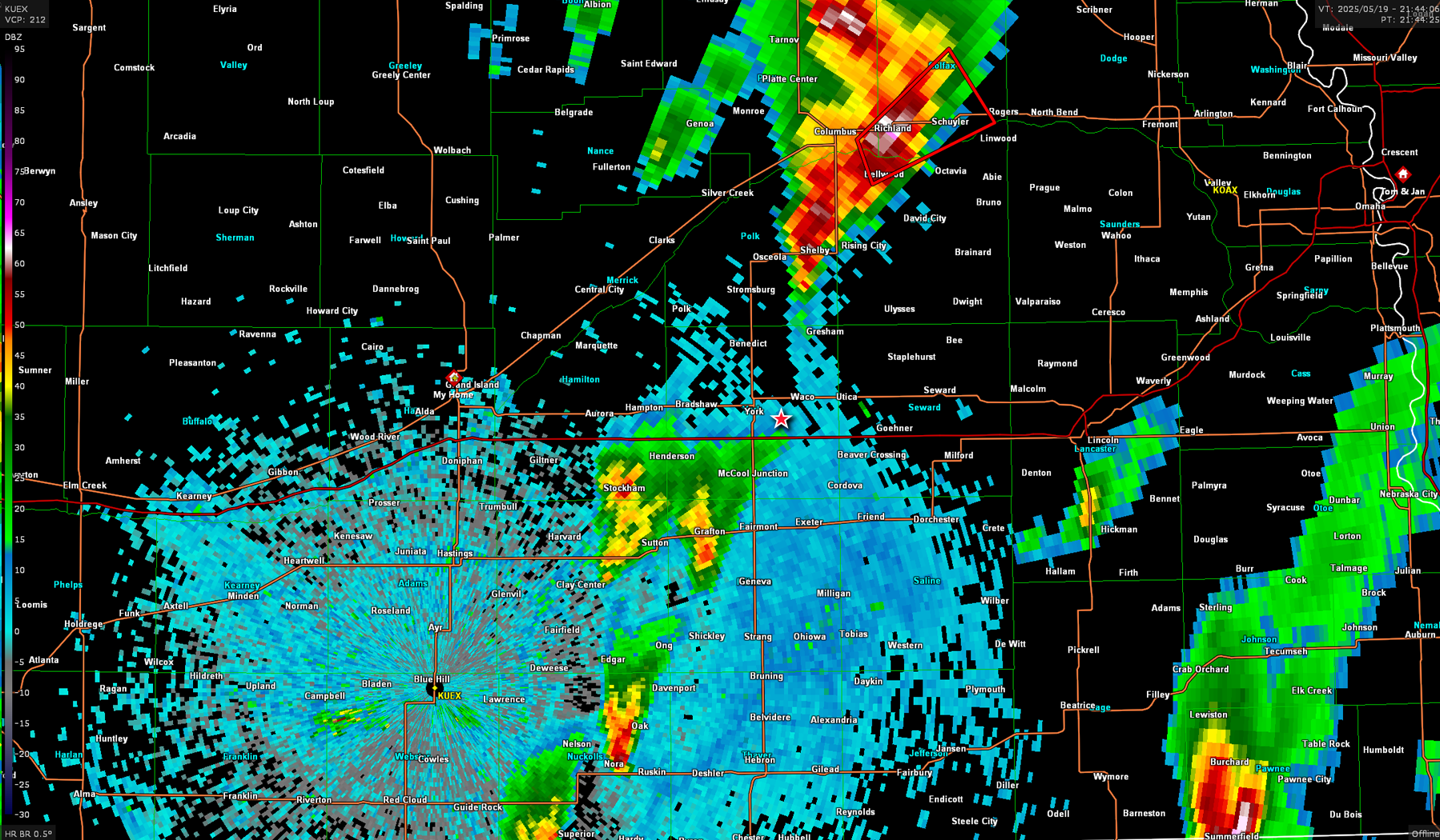
While this was going on, storms were developing along the Kansas border and moving northeast into Nebraska. I was keeping an eye on them and as I approached Genoa the cell near Red Cloud was developing rapidly so I decided to abandon the storm I was on and head south to try and intercept it. As I drove south, I continued to keep an eye on the storm I was on as the southern end approached Stromsburg.
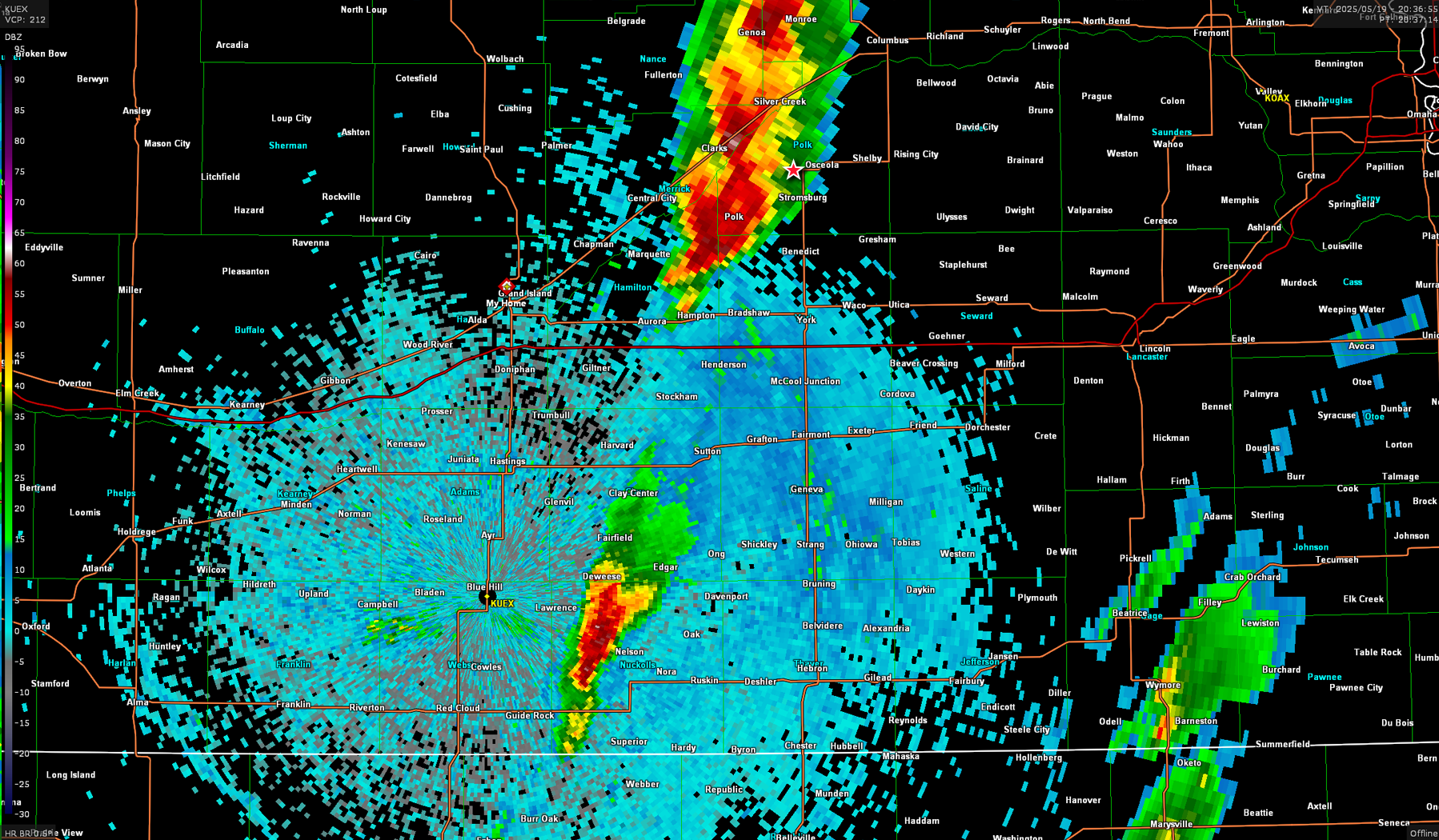
As the storm moved towards Columbus I finally pulled the trigger to go south to the storm that was now approaching Sutton. As I was headed towards the storm, one of the most interesting things happened. It literally evaporated in 30 minutes.
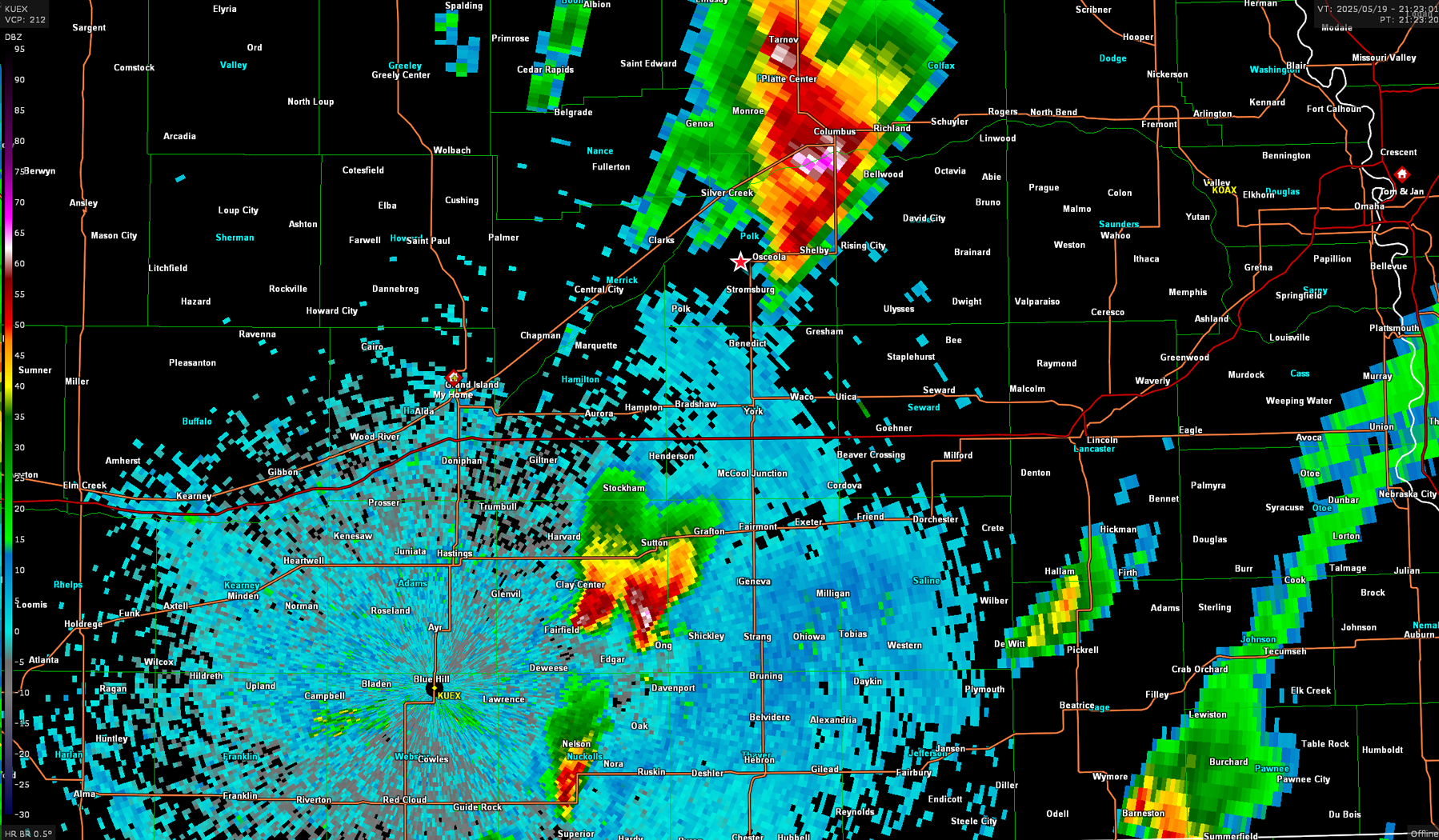
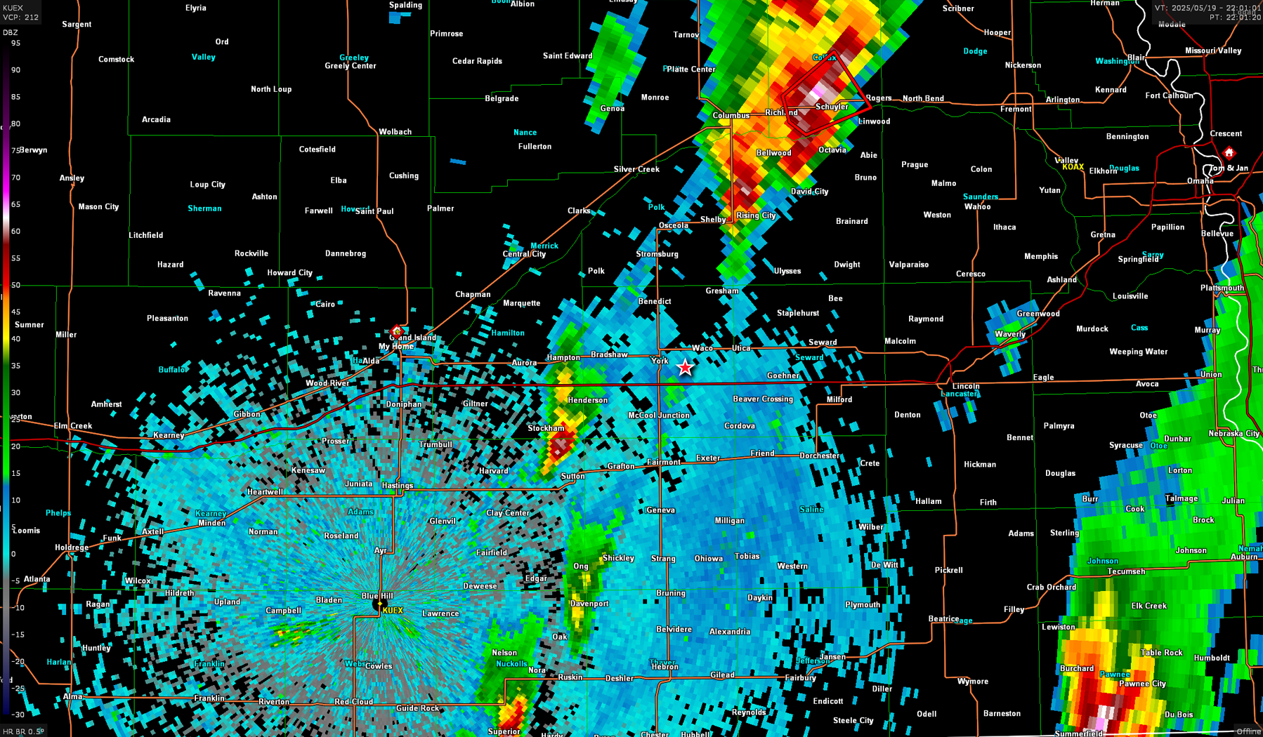
By this time, I was all the way down by Waco and now had to reverse course and head back north and attempt to intercept the storm that I had left that was now headed towards North Bend. That storm ended up going tornado warned before I could get back to it and as I approached Wahoo, I decided I wasn’t catching back up. I decided to drop back south to catch tail end charlie.
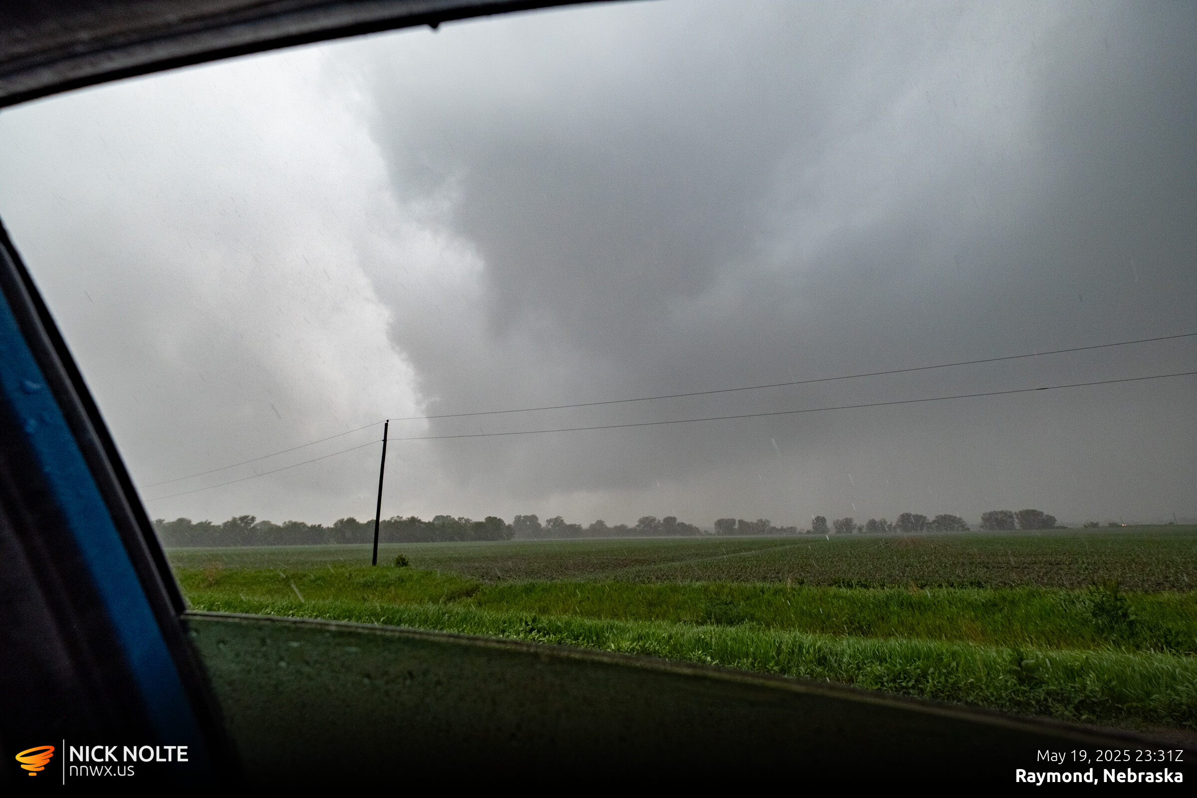
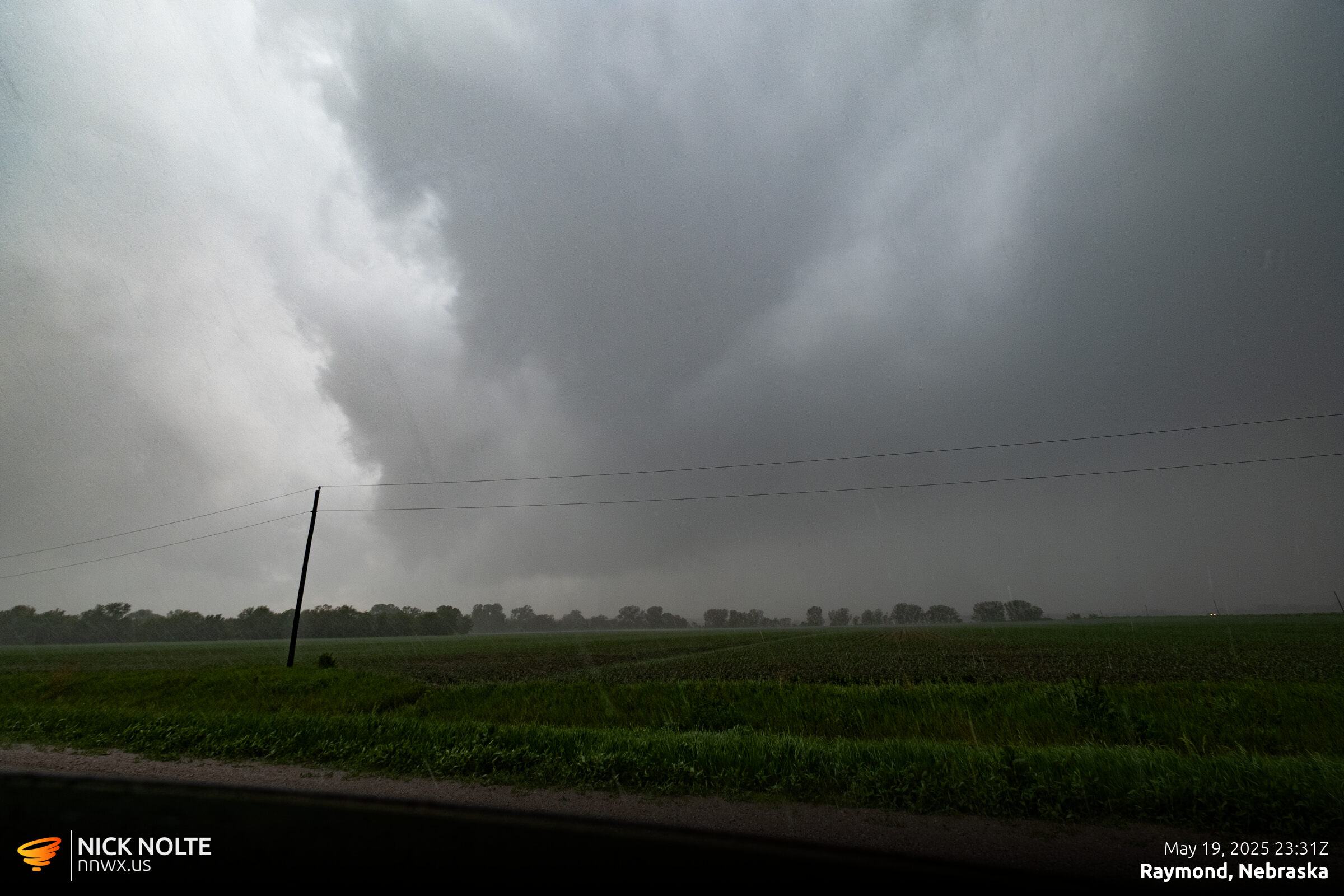
As the storms started to congeal and line out, I played a notch in the line and found a place northwest of Lincoln to observe. Here it looked like the storm might drop a quick tornado, but nothing materialized.
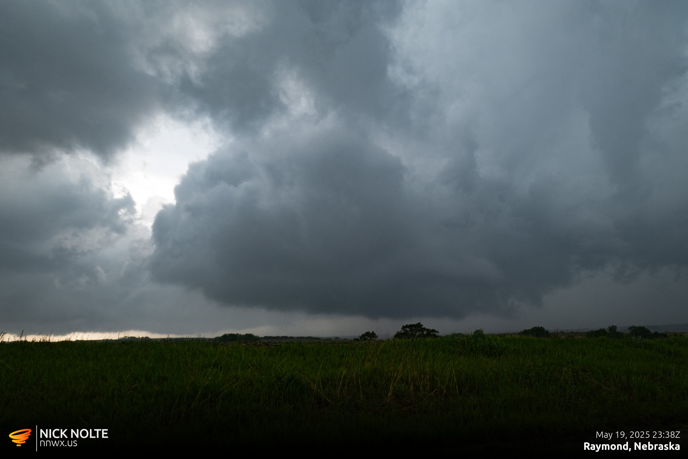
After letting this pass by, I ended up calling the chase and began the trek back home.
Chase Recap
| START | END | DURATION |
|---|---|---|
| Grand Island, NE @ 19/1720Z | Grand Island, NE @ 20/0115Z | 07 hours, 55 minutes |
| INTERCEPTS | CHASER ENCOUNTERS |
|---|---|
| None | Alec Scholten (13) Jonathan Williamson (57) |