Month: May 2025

24 May

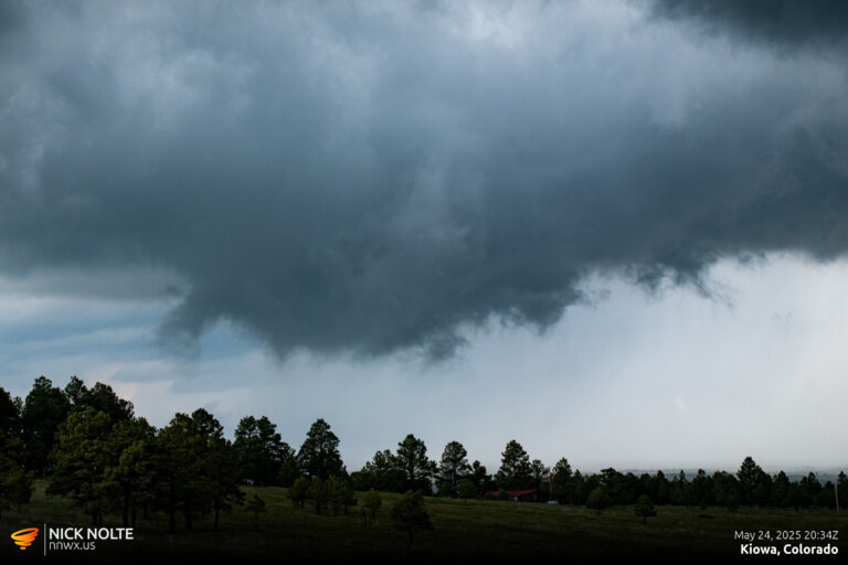
May 24, 2025 – Central Colorado Chase

May 24th featured a typical high plains upslope flow day with marginal chance for tornadoes. The SPC only had a 2% risk outlined from Douglas, WY to Colorado Springs, CO. Instability wasn’t forecast to be big, but it’s Colorado so half the time that doesn’t matter. Shear was enough to get stuff going so I was expecting storms to fire early in the afternoon right off the Front Range so the plan was to head towards Denver.

Read more
23 May

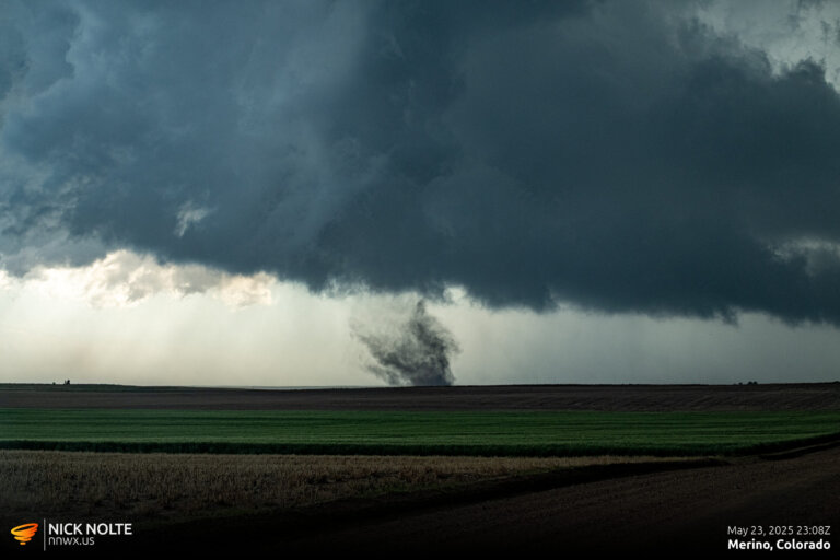
May 23, 2025 – Northeast Colorado Tornadoes

May 23rd started out looking like a low level day as a few mid-level troughs were forecast to progress into the high plains coupled with weak forcing aloft meant marginal shear. However, cyclogenesis was expected to develop and transport additional moisture into Eastern Colorado into Kansas. With a surface low setting up in Northeast Colorado it looked like that would be the target for the day.

Read more
19 May

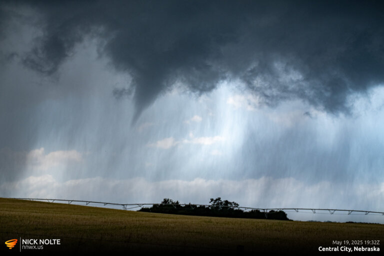
May 19, 2025 – Eastern Nebraska Chase

A large trough was forecast to move into the Plains and an elongated surface low was expected to stretch from Northern Oklahoma into Southern Nebraska. While dewpoints were expected to rise into the upper 60s into Eastern Nebraska, sometimes when these diffuse, elongated low pressures happen, things get kinda messy so I had low expectations for the day.

Read more
18 May

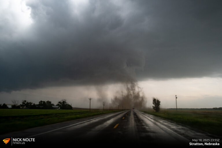
May 18, 2025 – Stratton, NE Tornado

May 18th featured a potent setup along a surface low in Northeast Colorado into the tri-state area and southward along a dryline into Oklahoma. A strong mid-level jet was forecast to eject into southwestern Kansas in the afternoon as the trough tilt turned negative. The SPC had outlined a couple of enhanced targets. One in NE Colorado and Western Nebraska and a second along the dryline from Kansas to Oklahoma.

Read more