| 0 | 1.00" | 60 | 233 |
|---|---|---|---|
| TORNADOES | HAIL | WIND | MILES |
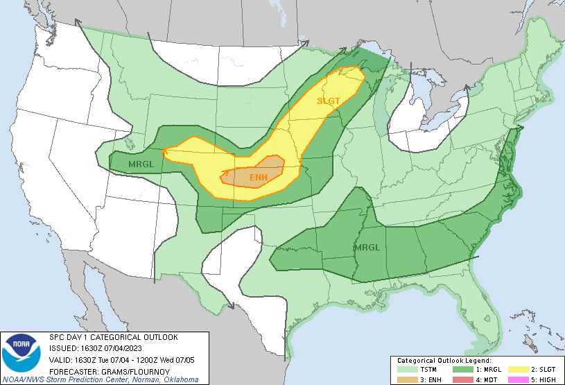
July 4th featured a local chase, so I was able to chase some storms without going too far for a change. A surface low in South Dakota with a cold front draped across Central Nebraska would provide the focal point for some local storms. I didn’t really have a big plan, so I just watched visible satellite from home then used that to decide when to leave.
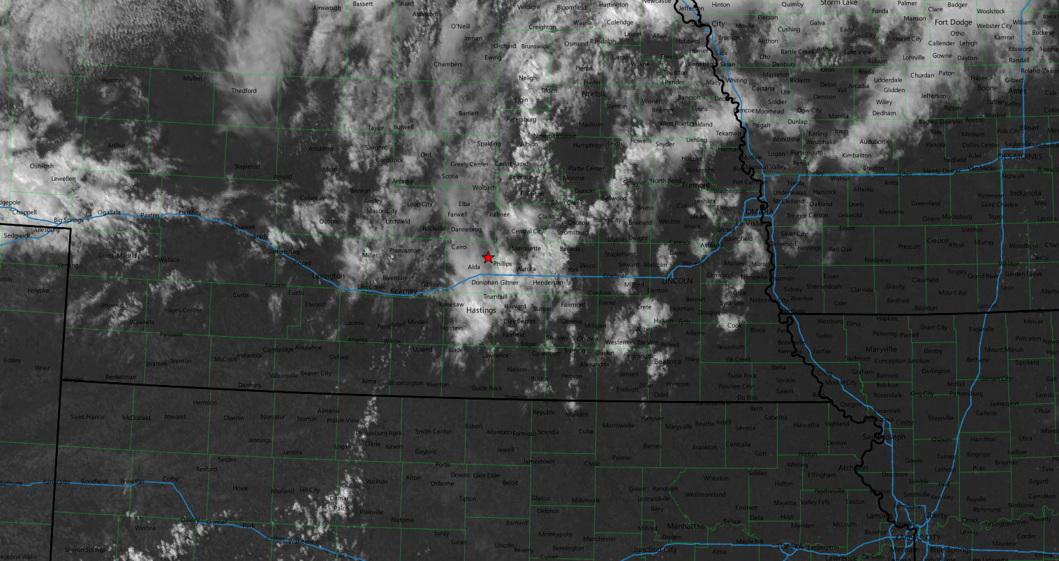
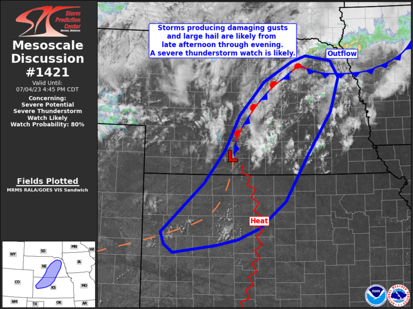
20z visible satellite suggested it was time to head to Columbus, as did the mesoscale discussion issued at the same time.
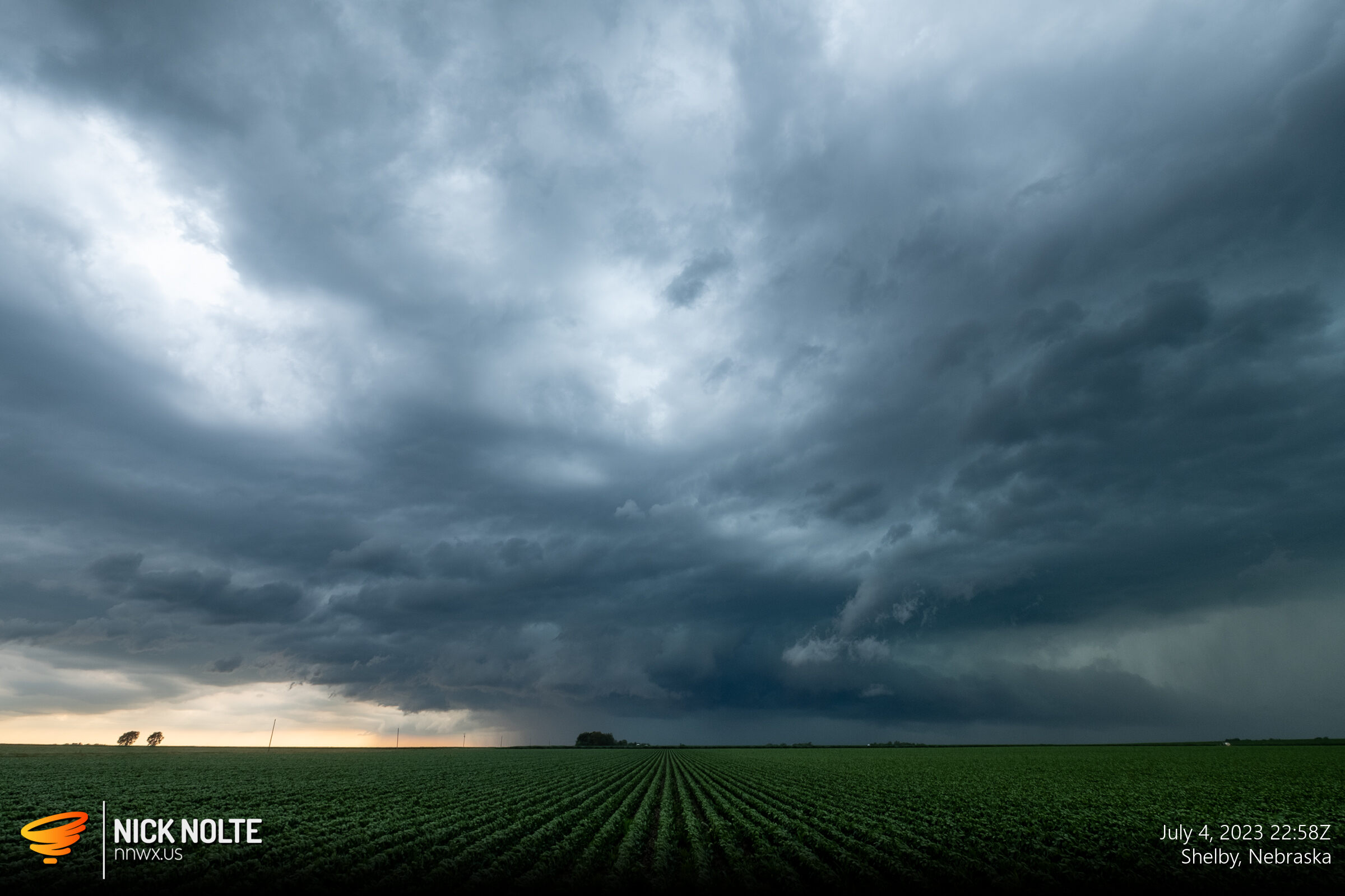
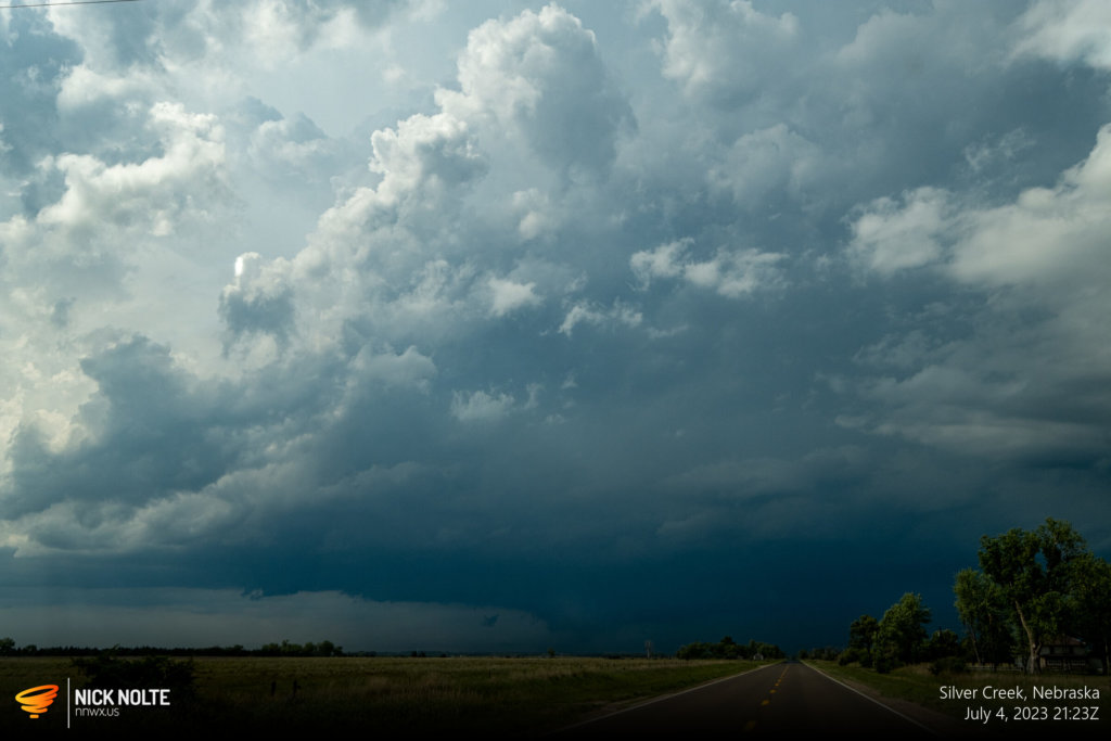
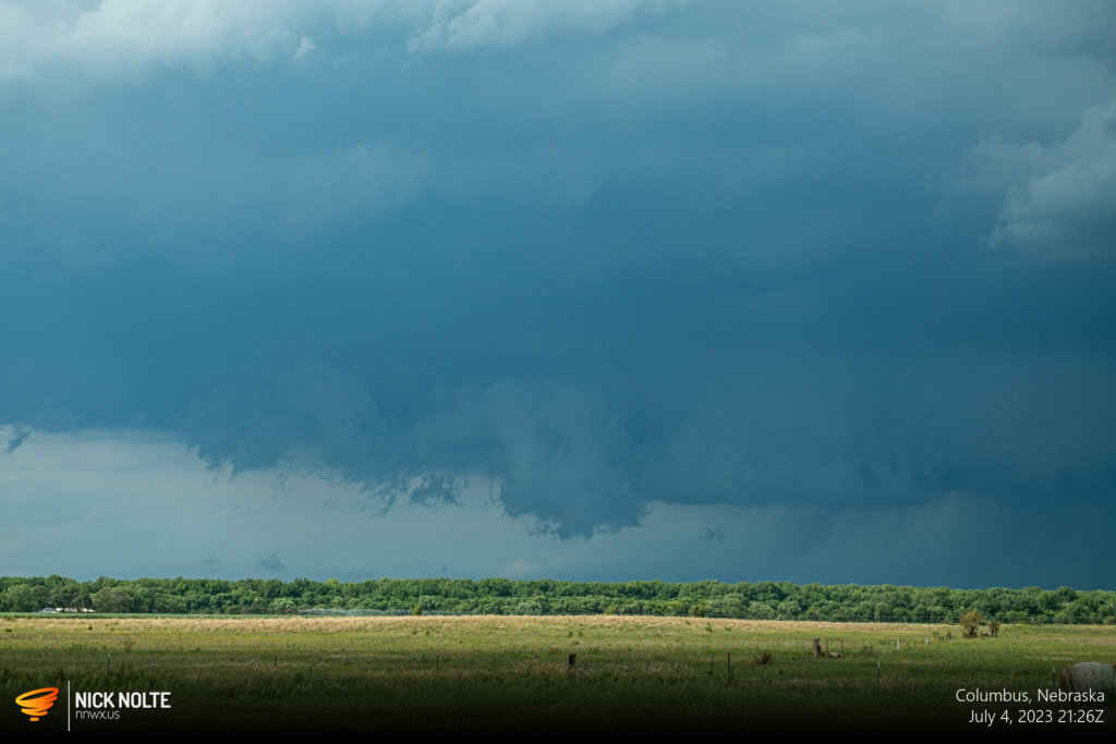
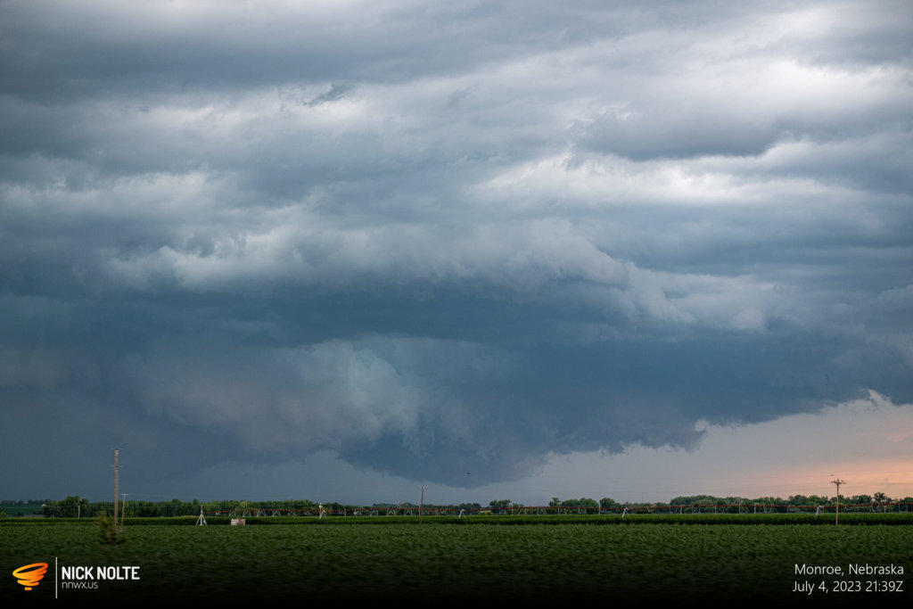
Eventually, as 2130z rolled around, almost to Columbus in my quest to catch up to the storm I was able to get a view of the base of the storm and to my surprise a nice wall cloud was present. I would continue to track this storm until the cells began to grow upscale into an MCS as I got near Schuyler.
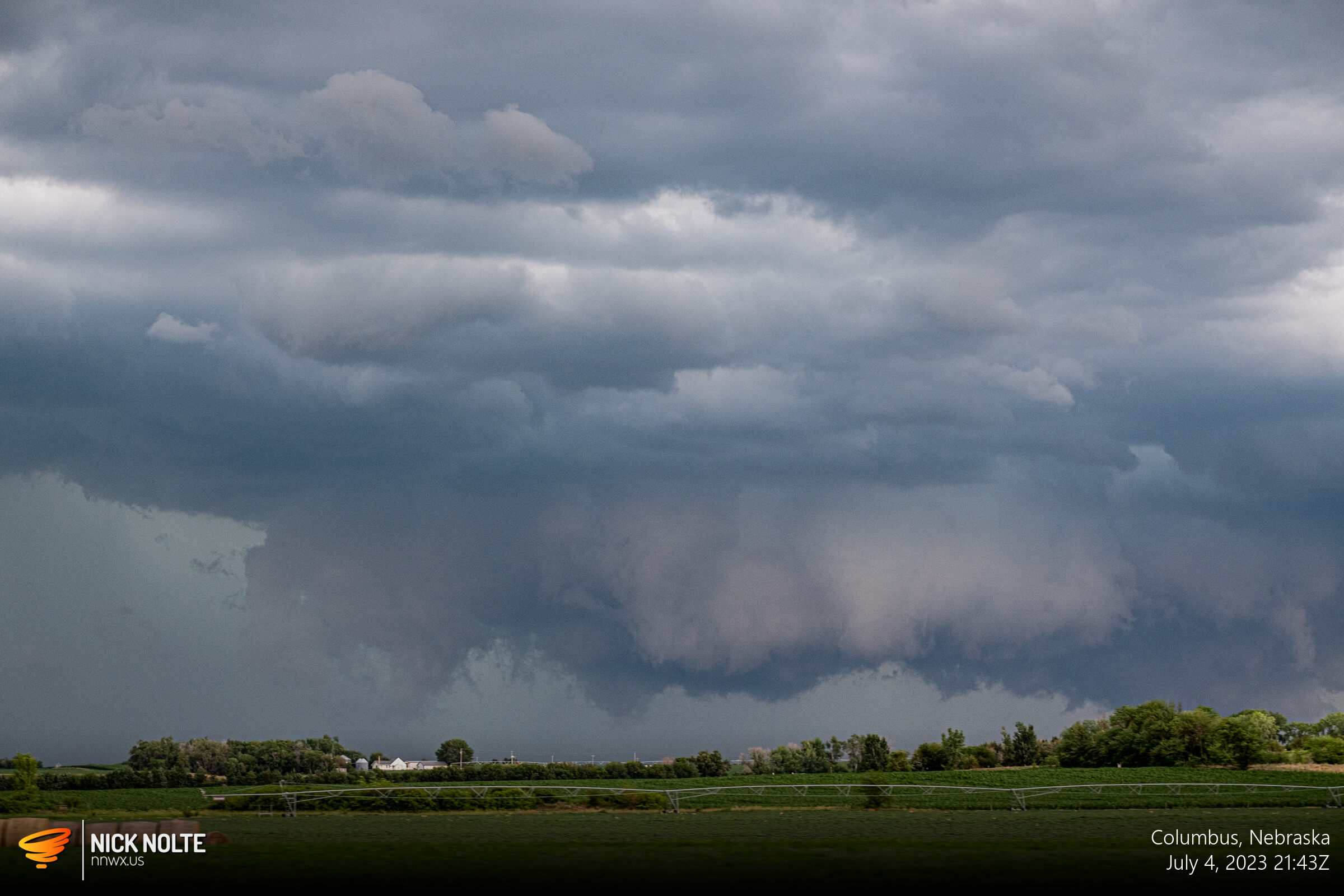
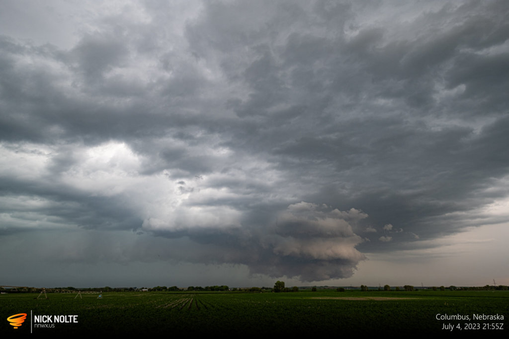

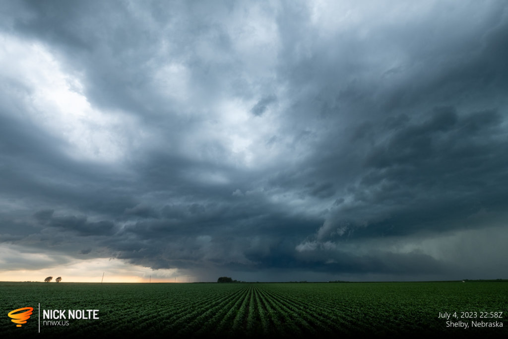
Chase Recap
| START | END | DURATION |
|---|---|---|
| Grand Island, NE @ 04/2028Z | Grand Island, NE @ 05/0049Z | 04 hours, 21 minutes |
| INTERCEPTS | CHASER ENCOUNTERS |
|---|---|
| None | None |

